Greeneville, Tennessee
Top Spots in and near Greeneville
-
Burnsville, North Carolina
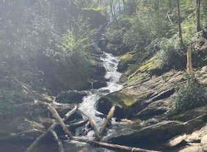
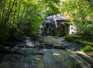
Roaring Fork Falls
1.52 mi / 302 ft gainRoaring Fork Falls is an out-and-back trail that takes you by a waterfall located near Burnsville, North Carolina.Read more -
Gatlinburg, Tennessee
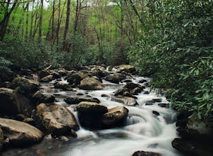
Fern Branch Falls
5.03.7 mi / 700 ft gainTake Porters Creek Trail, a gravel road alongside Porters Creek. You will pass by an old farmstead and cemetery, as well as lots of wildflowers if you're out during the spring. In a mile, keep left, then in another half mile or so you should cross over a small (and somewhat harrowing) footbridge...Read more -
Maggie Valley, United States
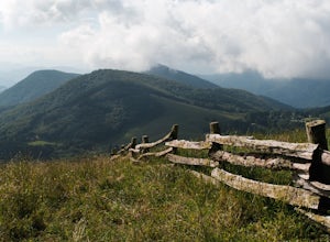
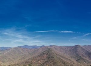
Hemphill Bald
Hemphill Bald is a quintessential Smoky Mountains vantage point and this moderate loop trail leading to it takes you through beautiful forest and rolling hills. This area is incredible in all seasons - wildflowers in the spring, colorful leaves in the fall, and with bare trees in the winter, the ...Read more -
Micaville, North Carolina
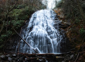
Crabtree Falls
4.92.83 mi / 525 ft gainStarting from the old store parking area at MP 339.5 on the Blue Ridge Parkway, follow the trail through a meadow past the campground amphitheater. After crossing the paved road to the campground, the trail will come to a T-intersection. Take the trail to the right for the shortest way to the fal...Read more -
Appalachian Trail, Tennessee
Jones Falls via Appalachian Trail
5.010.65 mi / 2484 ft gainStarting at the Appalachian Trail (AT) trailhead at US 19E, follow the AT north for 3.1 miles until you reach the intersection of the trail with Buck Mountain Rd. This section of the AT has an elevation gain of almost 1000 ft, and large sections of trail with significant meadows offering magnific...Read more -
Old Fort, North Carolina
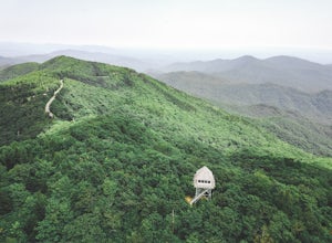
Green Knob Lookout Tower
4.80.76 mi / 292 ft gainGreen Knob Lookout Tower is an abandoned fire tower near Mt. Mitchell and located directly off the Blue Ridge Parkway. The tower boasts a full 360-degree, unobstructed view of Mt. Mitchell, Craggy Mountains, Table Rock, Grandfather Mountain, and the Parkway. Unlike most fire towers, this tower is...Read more -
Elizabethton, Tennessee
Climb at Blue Hole Falls
3.70.1 mi / 0 ft gainFrom TN 91, turn onto Panhandle Road. Follow Panhandle for 1 mile and park in the parking lot to the left. Waterfall Follow the path to your right downwards until you encounter wooden stairs. The main waterfall will be to your right less than .1 mile from the parking lot. There are two other wat...Read more -
Bristol, Tennessee
Emmett Trail
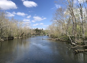
5.02.16 mi / 194 ft gainThe Emmett Trail is one of the TVA South Holston Tailwater Trails. This trail began as a footpath created by anglers. The trail now has gravel, which makes for easier access for families and pets. The trailhead begins on Piney Hill Road where it the traverses down to the waters edge and leads to ...Read more -
Bristol, Tennessee
Bouton Loop Trail
5.01.45 mi / 157 ft gainThe Bouton Trail Loop is an approximately 1.5 mile round trip on TVA land. There is a gravel parking lot with an information sign and trail map. Sections of the trail are gravel and sections are dirt. There are multiple places along the trail that cut off and lead down to the river for prime fish...Read more -
Spruce Pine, North Carolina
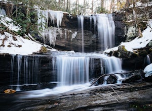
Grassy Creek Falls
1.5 mi / 312 ft gainGrassy Creek Falls is a beautiful waterfall that lies on private property just north of Little Switzerland's downtown area. The trailhead is easy to find. From Little Switzerland simply go under the Blue Ridge Parkway and the driveway is immediately on the right. You will park at the top of the...Read more -
Duffield, Virginia
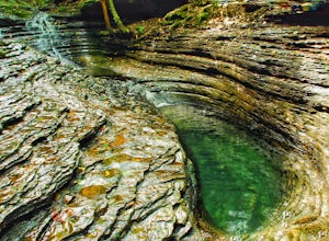
Hike the Devil's Bathtub
5.03.96 mi / 250 ft gainThe Devil’s Bathtub is a deep pool of blue-green water known for being a great swimming hole and a beautiful natural feature. This hike is a 3.2 mile out and back hike with 250 feet elevation gain. There are at least 15 stream crossings, so extreme caution should be taken during periods of mediu...Read more -
Montreat, North Carolina
Hike Lookout Mountain, Montreat
5.01.1 mi / 623 ft gainNestled in the Blue Ridge Mountains is Montreat, North Carolina. Just down the road from Asheville, it neighbors Black Mountain and doesn't disappoint for views. Montreat itself houses a plethora of hiking trails, but the cream of the crop HAS to be Lookout Mountain. After a weekend of checking o...Read more -
Bristol, Tennessee
Tailwater Trail
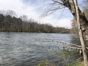
5.00.95 mi / 30 ft gainThe TVA Tailwater Trail is a 0.5 mile trail along the east side of South Fork Holston River. The trail is dirt and ends in an incline. Along the edge of the river, there are views of the distant Holston Mountain. This trail provides access to the river for fishing. It is located near the Emmett T...Read more -
Bristol, Tennessee
Osceola Island Loop
5.01.52 mi / 95 ft gainThe Osceola Island Loop is a 1.50 mile gravel loop on an island in the South Holston River. There are multiple benches along the loop to stop and observe the wildlife. Fishing is a common activity along the edge of the trail. There is a large parking area and bathrooms at the start of the trail.Read more -
Ewing, Virginia
Hike to the Sand Caves
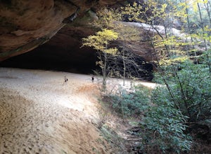
4.78 mi / 2000 ft gainAfter a 2.5 mi hike up the Ewing Trail, you will reach the Ridge Trail. Go left for approximately 1 mi until you reach a landing for horses. Another 0.25 mi down the trail, you will encounter some steep wooden steps as well as several slippery boulders. Depending on recent weather and season, you...Read more -
Ewing, Virginia
Hike to White Rocks
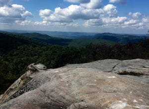
5.06 mi / 1500 ft gainStarting at the Ewing Trailhead, in Ewing, VA, you will meander up the ridge for about 2.5 mi before meeting up with Ridge Trail. The ascent is approximately 1500 ft up the side of the majestic White Rock Ridge. Mud, loose rocks, and some very steep climbs are included.Once at the top, left takes...Read more

