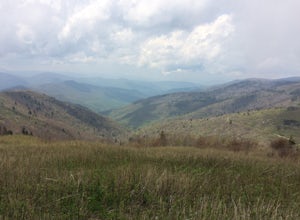
Great Smoky Mountains National Park, Tennessee
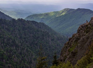
Summary Established in 1934, Great Smoky Mountains National Park straddles the border of both Tennessee and North Carolina. The Great Smoky Mountains are a subrange of the Appalachian Mountains. With stunning views of mountain ridgelines, waterfalls, and wildlife, there's a reason why this is annually one of the top visited national parks. The park spans 522,427 acres spread almost evenly across the two states. There are 10 campgrounds containing approximately 1,000 campsites, plus an additional 100 backcountry campsites. The park also contains 850 miles of trails. Great Smoky Mountains National Park is 1 of 423 national parks in the US and 1 of 12 in Tennessee. Key Details When to go: Peak seasons run from mid-June through mid-August. Expect the park to be more crowded during this time of year. If you plan to visit in the winter, note that some roads and campgrounds may close due to heavy snowfall. The Fall is a beautiful time to visit as the leaves begin to change colors. Permits that you might need Check out the special use permits and free backcountry permits here: https://www.nps.gov/cuva/planyourvisit/permitsandreservations.htm. But, entry to the Great Smoky Mountains National Park is free! Top adventures to check out: Ramsey Cascades (tallest waterfall in the park), Chimney Tops, Clingmans Dome Camping Cades Cove Campground - Popular campground surrounded by brilliant wildflowers, wildlife, and historic structures Cosby Campground - Features many shaded and secluded sites, great fishing opportunities Elkmont Campground - Largest campground in the park, ideal for group camping trips LeConte Lodge - Highest lodge in the Eastern United States, accessible only by hiking, cabin with bunk bed arrangement Key Contact Information Recorded information: (865) 436-1200 Road Updates: (865) 436-1200 Pet Info Pets must be kept on a leash at all times and are only permitted on the Gatlinburg and Oconaluftee River Trails. There are certain designated campgrounds and picnic areas that do allow pets, but make sure you check before making plans.
Top Spots in and near Great Smoky Mountains National Park
-
Highlands, North Carolina
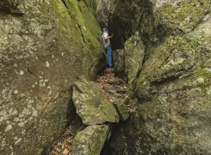
Bouldering Granite City
5.00.3 mi / 96 ft gainAt the foot of Blackrock Mountain just outside of Highlands, North Carolina, lies one of the most unique and secluded natural playgrounds around. Granite City is composed of several massive granite boulders, ranging between 10-40 feet tall. This spot is most popular for bouldering (mostly V0-V2...Read more -
Hot Springs, North Carolina
Camp at Rich Mountain Fire Tower
5.0Rich Mountain fire tower is located in the Cherokee National Forest just outside of Hot springs North Carolina. Getting there is pretty easy once you get off of US 25W you drive up a gravel road for about 5 miles until you get to the tower. Once you get to the top its about a 100 foot walk until ...Read more -
Cashiers, North Carolina
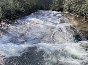
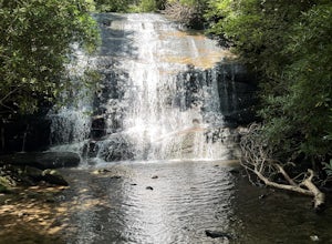
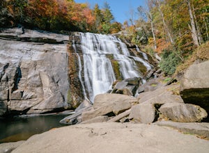
Hike to Silver Run Falls
0.25 mi / 100 ft gainThe hike to this waterfall is very short and well worth it. The waterfall is about 40 feet tall and has a large volume of water. This makes for a great place to swim. The bottom of the pool is about 15 feet deep and offers cool mountain water. To get there it is just outside of Cashiers, North C...Read more -
Pisgah Forest, North Carolina
Cool Off at Sliding Rock Falls
4.6This natural mountain waterfall and slide in the Pisgah National Forest is a local favorite to cool off in and have a little fun during the warmer months. You can walk up the line to the top of the falls and have a quick wait as others go down this 60 foot boulder. This water varies between 50-6...Read more -
Brevard, North Carolina
Hike to John Rock
5.05 mi / 1000 ft gainThis 5 mile loop begins at the Pisgah Center for Wildlife Education and State Fish Hatchery near Brevard, NC. Ample parking is available adjacent to the trailhead with bathrooms and water accessible. Grab a map from inside as well. To start the hike, look at the education center, to the left is t...Read more -
Brevard, North Carolina
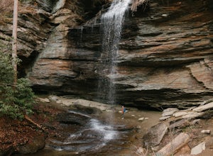
Moore Cove Falls
4.31.28 mi / 223 ft gainThe hike relatively quick and has minimal elevation gain, making it a great hike for the family or a quick stop off if you're planning to do another hike in the same day. This part of the Pisgah National Forest is filled with scenic hikes. Once you've parked your car, cross over the stream via a...Read more -
Dillard, Georgia
Hike to Rabun Bald
5.03 mi / 4696 ft gainStarting at the trailhead you begin by following the yellow blazes. The trail isn't well marked so keep an eye out for the blazes you see. The trailhead starts at the dead end of Kelsey Mountain Trail. The path immediately starts to incline and doesn't stop. A few minutes in you will come to a fo...Read more -
Brevard, North Carolina
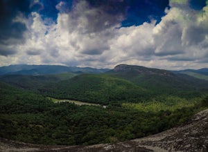
Looking Glass Rock
4.65.43 mi / 1572 ft gainThis is a really nice, moderately difficult hike along a cascading creek, up switchbacks, and through wildflower fields. A couple miles in, you'll reach a helipad that is used for rescuing injured rock climbers - Looking Glass Rock is a popular destination for world class climbing. There is a sma...Read more -
Brevard, North Carolina
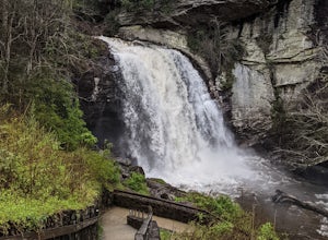
Looking Glass Falls
4.30.08 mi / 0 ft gainLooking Glass Rock located along the Blue Ridge Parkway (North) is one of the largest masses of granite in the Eastern US. It got it's name for the way the sunlight hits its rocky surface when wet, creating a shimmering, reflective, mirror-like effect. The views from this overlook are vast and cl...Read more -
Sapphire, North Carolina
John's Jump Falls and DEW Falls
4.00.59 mi / 39 ft gainJohn's Jump Falls and DEW Falls is an out-and-back trail that takes you by a waterfall located near Sapphire, North Carolina.Read more -
Lake Toxaway, North Carolina
Rainbow Falls and Turtleback Falls in Gorges SP
4.53.91 mi / 778 ft gainRainbow Falls is one of the most scenic waterfalls in North Carolina's Blue Ridge Mountains. The Horsepasture River swells in the rainy season, dumping a cascade of water 150 feet. The plume of mist at the bottom creates a distinct rainbow effect, giving the falls its name. Hike to Rainbow Falls ...Read more -
Clayton, Georgia
Camp at Tallulah River Campground
Tallulah River Campground is located in the Chattahoochee-Oconee national forest. It is just outside of Clayton, Georgia. The campground has about 15 spots that are big enough for a small to medium sized RV. Each camping spot also has a nice tent pad for a big tent. Most spots are also on the riv...Read more -
Maynardville, Tennessee
Photograph the Maynardville Fire Tower
3.5The maynardville fire tower is one that anyone can go too since you can drive straight to the base of it. From the base however there are about 100 steep stairs to the top. On the way up you will need to be extra careful because it is very old and was never built for safety. When you get to the t...Read more -
Cashiers, North Carolina
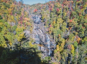
Explore Whitewater Falls
4.00.5 mi / 100 ft gainWhitewater Falls is the highest waterfall east of the Rocky Mountains with the upper falls alone dropping over 400 feet. The walk to the falls is very short and friendly for all ages and abilities - the path is paved so the falls are wheelchair accessible. The falls are beautiful in all seasons b...Read more -
Tellico Plains, Tennessee
Drive the Cherohala Skyway National Scenic Byway
5.0The Cherohala Skway is one of the National Scenic byways in America it spans over 43 curvy miles from Tellico Planes, Tennessee to Robbinsville, North Carolina. On the Skyway there are many overlooks ranging elevations from 2000-5200 feet all have beautiful views and different view points. The pa...Read more -
Brevard, North Carolina
Art Loeb Trail
4.830.07 mi / 7467 ft gainStart at The Davidson River Campground just outside of Brevard, NC (276 Pisgah Ranger District). Have a shuttle car or a friend waiting at the Daniel Boone Boy Scout camp for the finish line. Hop on the 30.1 mile long Art Loeb Trail at the trailhead in the Davidson River Campground. Pull into th...Read more

