Dunlap, Tennessee
Top Spots in and near Dunlap
-
Rising Fawn, Georgia
Hike Sitton's Gulch Trail
5.05.7 mi / 1060 ft gainHiking Sitton's Gulch is a great option for those who want to get a little more distance than what the 2.1 mile Waterfalls trail has to offer. This bit of extra distance will separate you from a lot of the weekend crowd and will expose you to two more waterfalls, in addition to Cherokee and Heml...Read more -
Grandview, Tennessee
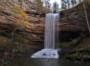
Hike to Piney Falls
5.01.5 mi / 500 ft gainThe gravel road heading to the trailhead is on the rougher side to take it slow. When you get to the trailhead it’s a small gravel pull off right off the road. There are no maps at the trailhead but there are only a few trails to take and they are marked with a blue marker. To get to the upper fa...Read more -
661-799 Stone Fort Drive, Tennessee
Hike Old Stone Fort Trail
5.02.9 mi / 265 ft gainThe main hiking trail at this small state park follows the wall of Old Stone Fort which was used by the Native Americans as a ceremonial gathering place. The trail threads through dramatic scenery where you can see the original entrance of the fort which was designed to face the exact spot on the...Read more -
Tullahoma, Tennessee
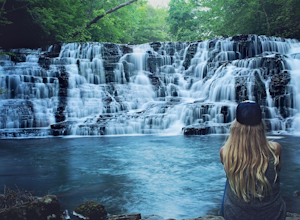
Hike to Rutledge Falls
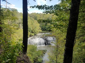
4.00.4 mi / 3 ft gainFind the trail parking area by following your GPS to “Rutledge Falls Baptist Church”. You will see a small parking area on the side of the road across the street from the church. The path to the falls is extremely short with a steep section to climb down to the base of the falls. This trail is on...Read more -
Ocoee, Tennessee
Whitewater Raft the Middle Ocoee River
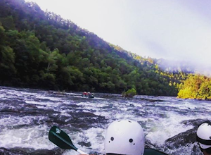
5.0The middle Ocoee River offers Class III and Class IV rapids through the southern Appalachian Mountains. Those with their own vessels can put into the river just below the Ocoee #2 TVA Dam. For those who do not have a vessel, there are numerous river guide companies who offer guided adventures. Th...Read more -
Tullahoma, Tennessee
Hike to Lower and Upper Busby Falls
4.82 mi / 275 ft gainShort Springs Natural Area is where these falls are located. There is a decent amount of hiking trails that are a nice getaway for a day to hang out at for waterfalls. Put into your gps "machine falls parking." The gps will take you to the exact parking area. The directions go as follows from Nas...Read more -
Tullahoma, Tennessee
Machine Falls Loop at Short Springs Natural Area
4.84.07 mi / 732 ft gainThe Machine Falls loop at Short Springs Natural Area is a 1.6 mile round trip hike easily followed by white blazes. It is rated moderate difficulty due to the short, steep descent into a gorge where the falls is located. The trail is sparsely trafficked; there are usually quite a few people han...Read more -
Smithville, Tennessee
Hike to Carmac Falls
5.01 mi / 90 ft gainIt is important to note that Carmac Falls is located on the private property of Evins Mill, a resort and special event venue that hosts weddings, conferences and other contractually exclusive events. As such, one must be a guest of the resort in order to access its property and enjoy its trails, ...Read more -
Sherwood, Tennessee
Walls of Jericho via Tennessee Trailhead
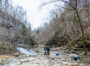
5.07.74 mi / 1667 ft gainWalls of Jericho via Tennessee Trailhead is an out-and-back trail that takes you by a waterfall located near Belvidere, Tennessee.Read more -
Benton, Tennessee
Watch the Sunset from Sugarloaf Overlook
The overlook is easily accessible from a parking circle located off Oswald Road. Follow U.S. Highway from Ocoee, Tennessee for 8 miles then turn left onto Oswald Road. Follow Oswald Road for 2.5 miles until you encounter the overlook on your left. The overlook will be clearly marked with signage....Read more -
Benton, Tennessee
Hike to Benton Falls
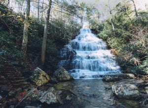
5.03.2 mi / 318 ft gainStart this hike from the parking lot of the Chilhowee Day Use Area (here you must remember to bring $3 cash to pay the day use fee). To begin, walk along the path to the left of the facilities until you come to the trailhead. Start here continuing along the left-side of the lake. After passing t...Read more -
Benton, Tennessee
Take in the View at Chilhowee Overlook
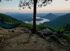
5.0Catch the sunset, bring friends and a picnic, or gaze at the stars from this classic Tennessee overlook! To reach Chilhowee Overlook, follow U.S. Highway from Ocoee, Tennessee for 8 miles then turn left onto Oswald Road. Follow Oswald Road for 3.75 miles until you encounter the overlook on your r...Read more -
Estillfork, Alabama
Walls of Jericho via Alabama Trailhead
4.55.8 mi / 1417 ft gainAround 5pm, we hiked down the only clearly marked trail that departs from the parking lot. The path begins with gentle switchbacks and great views of the forest, occasionally passing by small waterfalls, sinkholes, and caves; and arriving at the Hurricane Creek crossing (log with handrail) after ...Read more -
Sparta, Tennessee
Burgess Falls
4.51.56 mi / 95 ft gainIf you like waterfalls, this hike is for you. Along the way you'll pass by Falling Water Cascades (20 ft), Little Falls ( 30 ft), Middle Falls (80 ft) and finally the main event, Burgess Falls (136 ft). There are a few spots for swimming so bring your suit if it's a warm day. It's an easy hike s...Read more -
Rockwood, Tennessee
Ozone Falls
4.20.35 mi / 43 ft gainThis beautiful, 110-foot waterfall is an easy 15-minute walk from the parking area. Note that the walk down to the falls, although short, is steep and there isn’t a well-marked trail down. It’s more about choosing the path of least resistance. Also, it can get quite busy in the summer time espec...Read more -
Reliance, Tennessee
Hike the Scenic Spur Trail
5.03.9 mi / 426 ft gainVery little elevation gain leads to an easy hike along a river right outside of the Ocoee river region. First .7 miles is very flat, then leads to some slight elevation gain but nothing too serious. This trail traverses through the lush forest for a short distance when you come across a small cre...Read more

