Chattanooga, Tennessee
Looking for the best chillin in Chattanooga? We've got you covered with the top trails, trips, hiking, backpacking, camping and more around Chattanooga. The detailed guides, photos, and reviews are all submitted by the Outbound community.
Top Chillin Spots in and near Chattanooga
-
Chatsworth, Georgia
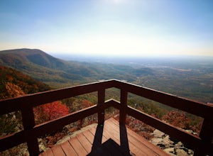
Hike the West Overlook Trail and CCC Stone Tower Trail Loop
4.71 mi / 200 ft gainFort Mountain State Park is filled with horse trails, biking trails, walking trails, camping sites, and a lake. Once you arrive at the park you pay a $5 entrance fee and will receive a park map. While visiting I walked the West Overlook Trail and came back down the CCC Tower Trail. This is a 1 mi...Read more -
Sewanee, Tennessee
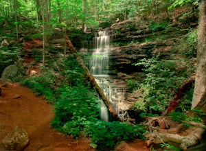
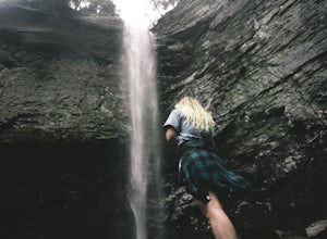
Hike to Bridal Veil Falls in Sewanee, TN
4.01.5 mi / 387 ft gainGreat short hike. Hard to find trail head, it is not marked at the parking area or where you leave the road. Put in your gps the coordinate spot tagged above off Clara Point Rd. To get to the trailhead, you have to cross the road from small parking area and go back 20 - 30 yards, where you will ...Read more -
Mentone, Alabama
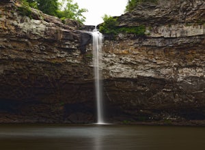
Hike to the Base of DeSoto Falls
4.80.7 mi / 285 ft gainThe main visitor entrance to DeSoto Falls in Mentone, AL provides easy, paved trails along the upper rim of the falls. For a more private an intimate view, there is a pull off on the side of the road and trail access. Heading south on AL Hwy 89, take a left turn on Dekalb Country Road 613. Afte...Read more -
Pikeville, Tennessee
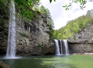
Hike to Rockhouse and Cane Creek Falls
5.01 mi / 500 ft gainFall Creek Falls State Park is home to multiple waterfalls. The main attraction and biggest waterfall, Fall Creek Falls, is often tourists' main destination, but I encourage you to visit the base of Rockhouse Falls and Cane Creek Falls to enjoy some quiet solitude and get away from the usual week...Read more -
Pikeville, Tennessee
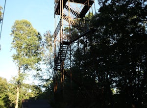
Hike to Fall Creek Falls Fire Tower
4.51 mi / 100 ft gainThe tower is located in the far northeast corner of Fall Creek Falls state park. The road to get there can be rough especially if it has rained recently but any 2 wheel drive vehicle should be able to make it. When you get to the trailhead it is a small gravel pull off with a gate. From the gate ...Read more -
Scenic Loop Road, Tennessee
Hike to the Base of Fall Creek Falls
5.00.86 mi / 299 ft gainFall Creek Falls State Park hosts a variety of large waterfalls which can easily become confusing. The park's main attraction is the 256 foot waterfall dubbed "Fall Creek Falls." Fall Creek Falls is observable from a viewing platform less than a five minute walk from the Scenic Loop Road parking ...Read more -
Pikeville, Tennessee
Photograph Buzzard's Roost Overlook
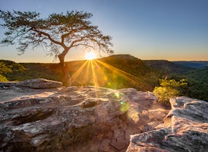
5.00.04 mi / 10 ft gainLocated in the beautiful state park of Fall Creek Falls, you'll find this overlook along with Millikan's Overlook. Both overlooks showcase the views shown in my photos, however, Buzzard's Roost is a short walk down the side trail that gives a more solitude experience that you may be looking for. ...Read more -
Copperhill, Tennessee
Explore Ocoee Whitewater Center
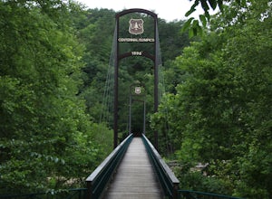
This location showcases the Ocoee river and the area used in the 1996 Olympics. This area is beautiful and has some amazing views. The drive to the whitewater center is called the Ocoee Scenic Byway and is the first national forest byway. The drive is gorgeous and features some amazing mountain v...Read more -
Estillfork, Alabama
Walls of Jericho via Alabama Trailhead
4.55.8 mi / 1417 ft gainAround 5pm, we hiked down the only clearly marked trail that departs from the parking lot. The path begins with gentle switchbacks and great views of the forest, occasionally passing by small waterfalls, sinkholes, and caves; and arriving at the Hurricane Creek crossing (log with handrail) after ...Read more -
Spring City, Tennessee
Hike to Stinging Fork Falls
3.53 mi / 400 ft gainThe trail begins on the right side of the parking lot. The first part is flat with no elevation change and easy walking. About half a mile in you will reach a trail split. The right trail will take you to the falls and the left trail will take you to an overlook of the gorge below. I was not able...Read more

