Burns, Tennessee
Looking for the best running in Burns? We've got you covered with the top trails, trips, hiking, backpacking, camping and more around Burns. The detailed guides, photos, and reviews are all submitted by the Outbound community.
Top Running Spots in and near Burns
-
Thompson's Station, Tennessee
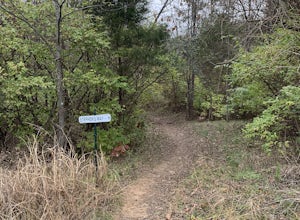
Stephen's Way Trail
1.94 mi / 377 ft gainStephen's Way Trail is a loop trail that takes you through a nice forest located near Thompson's Station, Tennessee.Read more -
Nashville, Tennessee
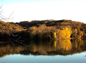
Hike around Radnor Lake
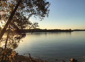
4.02.6 miIf you want a break from the city, take an early morning hike around Radnor Lake. Start this quiet trek by arriving at sunrise to snag a parking spot at the East Parking Lot. Walk down Otter Creek Road until you see the Lake Trail on the right. From there, enjoy a 1.4 mile scenic hike through the...Read more -
Nashville, Tennessee
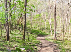
Hike the Trails at Fontanel
3.52.5 mi / 229 ft gainThe trailhead is located across from the Woods at Fontanel Music Venue, with the trail leading up and over the ridge behind the Fontanel Mansion and back down by the Woods at Fontanel VIP seating area. Keep in mind that the trails also connect to a mile of paved Metro Parks Greenway for foot and ...Read more -
Clarksville, Tennessee
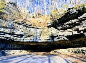
Explore Dunbar Cave State Park
5.00.5 mi / 16 ft gainDunbar Cave is located 60 minutes northwest of Nashville in Clarksville, TN. Dunbar Cave is the most prominent of several caves located in this designated natural area. In the entrance of the cave, square dances, radio shows, and big band era concerts were once held. Archeologists have found that...Read more -
Adams, Tennessee
Port Royal State Historic Park
0.5 miThe town of Port Royal was established in 1797, one year after Tennessee became a state. This was a major port for flat boats transporting of tobacco and other goods. The Red River was the life blood of the entire region. Today, the park encompassing 30 acres, preserves and provides recreation ...Read more -
Mount Pleasant, Tennessee
Stillhouse Falls
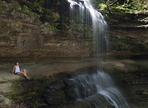
5.01.23 mi / 295 ft gainThis waterfall is a fun short hike that can be done quick, or a nice place to hangout for the day in your hammock to read a book! From Nashville, take I-65 south and take the Saturn Parkway toward Columbia. Turn right on Hwy 43 and proceed about 21 miles. The natural area parking area is on the ...Read more -
Springfield, Tennessee
Run the Springfield Greenway
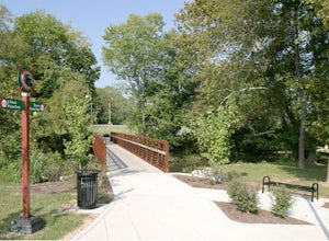
5.03 mi / 20 ft gainThe scenic Springfield Greenway meanders along a lush tree-lined creek in northern Springfield, just a half hour north of Nashville. The pathway is paved, flat and smooth, making for easy walking or riding, and has only one street crossing.Parks at either end (Garner Street Park on the west side ...Read more -
Nashville, Tennessee
Hike the Day Loop at Long Hunter State Park
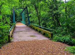
4.94 miPark at the Bakers Grove Area and take the newly wood chipped wood chip trail into the forest. Cross a small bridge, snake through a rock garden, and pass a sign indicating you are hiking the Day Loop Trail.There will be orange and white blazes. The orange blazes are for the Day Loop and the whit...Read more -
Dover, Tennessee
Hike the Fort Donelson Battlefield Loop Trail
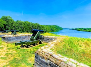
3.4 mi / 465 ft gainOn this relativity easy trail, you will travel along the hand made trenches dug by Confederate Soldiers that protected Fort Donelson and the lower Cumberland River. Then you will pass a monument for the veterans who fought a bloody battle here. Afterwards, the trail will head towards the shorelin...Read more

