Black Hawk, South Dakota
Looking for the best hiking in Black Hawk? We've got you covered with the top trails, trips, hiking, backpacking, camping and more around Black Hawk. The detailed guides, photos, and reviews are all submitted by the Outbound community.
Top Hiking Spots in and near Black Hawk
-
Custer, South Dakota
Hike the Stockade Lake Trail
1.2 mi / 500 ft gainThe trail starts near the East side of Stockade Lake just outside Custer, South Dakota. The trail is a 1.2 mile loop, and climbs up to 5,650 feet above sea level. The trail is easy to follow and is well worn. Also the trees have blue diamonds nailed to them for even easier route finding. Once you...Read more -
Custer, South Dakota
Hike the Custer Skywalk to Big Rock Observation Point
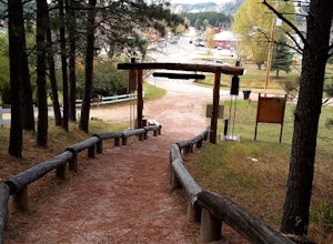
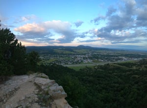
0.6 mi / 370 ft gainPark on the South end of 6th Street at Harbach Park in Custer, just 2 blocks off Main Street. The entrance to the trail is marked by an archway and a "Custer Skywalk" sign. The path is a dirt/small gravel trail that has stairs built into the hillside. To get to the first observation point it is a...Read more -
Custer, South Dakota
Fly Fish French Creek
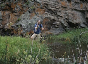
0.5 mi / 15 ft gainThe creek has two main sections, there is Upper French Creek and Lower French creek, the upper/lower refer to the section of creek above or below Stockade Lake. The better fishing is below Stockade Lake. There you can find numerous sections of the creek that are on public land and easily accessib...Read more -
North Lawrence, South Dakota
Spearfish Falls
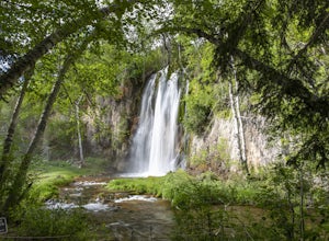
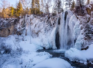
1.6 mi / 60 ft gainThis is a super short and very easy hike that has an incredible payoff. It is an out-and-back trail that is accessible for all skill levels. The trail slowly descends along a path that varies between paved sections and very well-groomed gravel leading to an observation deck of a super scenic wate...Read more -
Lead, South Dakota
Hike to Devil's Bathtub, Black Hills National Forest
5.01 miBefore you start this adventure, make sure you're wearing shoes that will not be ruined by crossing creeks. There are several stream crossings so wear waterproof boots or sturdy hiking sandals (I prefer my Original Universal Tevas or my KEEN Whisper Sandal). The pull off to start the hike is abo...Read more -
Lead, South Dakota
Hike the Roughlock Falls Trail
4.04.2 mi / 50 ft gainThe trailhead to Roughlock Falls is in the town of Savoy, SD in the Black Hills. From Spearfish on I-90, head south on Route 14 for 15 miles into Savoy. There is only one road to make a right onto in town, Roughlock Falls Road. You can cheat and drive this all the way up to the falls for a quick ...Read more -
Lead, South Dakota
76 Trail
1.24 mi / 499 ft gainThe '76 Trail is only 3/4 of a mile long but elevates 1,000 feet, making this hike difficult for many. Plan to take a couple breaks but admire the gorgeous surroundings! The hike is not a leisurely one but the views at the top are well worth the effort.Read more -
Spearfish Community Caves, South Dakota
Hike to the Community Caves
4.51 mi / 300 ft gainCommunity Caves is located in the scenic Spearfish Canyon, on Highway 14A, about 2.7 miles from Spearfish (once you turn off of Colorado Blvd). There is a large pull-off area on the right (west) side of the road and then the trail, which is not marked at all, is on the opposite side of the pull-...Read more -
Spearfish, South Dakota
Explore the Frozen Waterfalls of Spearfish Canyon
5.0There are a multitude of frozen waterfalls throughout Spearfish Canyon. Some require a short hike and others can be seen from the road. This adventure will describe how to access the three largest frozen falls.Take Spearfish Canyon Highway south out of the town of Spearfish SD. After roughly 6 mi...Read more -
Spearfish, South Dakota
Hike around Lookout Mountain
4.52.4 mi / 860 ft gainTo get to the trail for Lookout Mountain there are 2 trailheads. One trailhead is just a few blocks from downtown on Nevada St., the other trailhead is on the East side of town. This post is using the Nevada St. Trailhead as the starting point. From this trailhead to the top of Lookout Mountain i...Read more -
Custer, South Dakota
Tour Jewel Cave
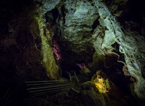
4.00.5 mi / 20 ft gainEstablished in 1908, Jewel Cave National Monument is home to over 179 miles of mapped cave passages. The cave features larger chambers and more interesting formations then nearby Wind Cave NP, and much of it is covered in spar crystals.A guided tour is the only way to see the cave system unless y...Read more -
Custer, South Dakota
Hike through Hell Canyon
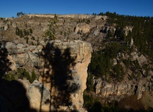
5.3 miThe Trailhead lies down in the canyon bottom, just one mile west of Jewel Cave National Monument and 13 miles west of Custer. Upon arrival, you are greeted by the parking lot, which is right off the highway and boasts a spacious gravel lot to park in. Since the trail is a loop, you can go either ...Read more -
Custer, South Dakota
Hike the Lookout Point Loop at Wind Cave National Park
3.54.5 miThe Lookout Point Loop actually combines parts of three trails to bring you through some of Wind Cave's best prairieland. Begin at the trailhead for Centennial and Lookout Point off of Hwy 87 and take Lookout Point trail east to Beaver Creek. At Beaver Creek, you'll catch the Highland Creek Trail...Read more -
Hot Springs, South Dakota
Tour Wind Cave
4.80.67 mi / 6 ft gainEstablished in 1903, Wind Cave National Park is home to over 140 miles of mapped cave passages. The cave features 95% of the world's known boxwork calcite formations and got its name from the sound of rushing wind created at its few small openings.A guided tour is the only way to see the cave sys...Read more -
Scenic, South Dakota
Explore Sheep Mountain Table
4 mi / 200 ft gainSheep Mountain Table is located in the Stronghold Unit that is in the Pine Ridge Indian Reservation of Badlands National Park. The area is prime for exploring. Once you get off Highway 27 for Sheep Mountain Table, you will travel about 4 miles on a well maintained gravel road, to an Overlook and ...Read more
Top Activities
Go Great Places in South Dakota
In the Mount Rushmore state, travels to South Dakota are full of one-of-a-kind adventure with wide-open spaces as endless as the horizons. Between legendary landscapes and scenic drives, you can always find space that shifts life into park. When you’re ready, go great places.
Learn More

