Mountain Rest, South Carolina
Top Spots in and near Mountain Rest
-
Highlands, North Carolina
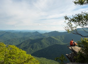
Whiteside Mountain is simply breathtaking, there is no way around it. Views of the mountain from the South expose its sheer granite face, which runs almost its entire length East-to-West. However, the views of the mountain are just the beginning, as this hike climbs to higher heights than just ...
Read more
-
Highlands, North Carolina
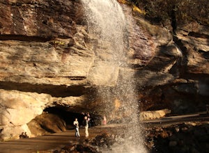
Bridal Veil Falls is located directly off of the road and is about a 100 feet tall in total. The falls makes for a great place to take pictures under the water falls. The falls itself is small and flows constant all year long getting to the bottom of the falls is not recommended because it is dan...
Read more
-
Clayton, Georgia
4.0
7.5 mi
/ 2378 ft gain
Black Rock Mountain State Park is Georgia's highest elevation State Park. It is adorned with several waterfalls, sweeping overlooks, blooming Rhododendron's, and plenty of miles of trail. The James E. Edmond trail is the longest and by far most challenging hike in the park. Its medium-long dis...
Read more
-
-
Tallulah Falls, Georgia
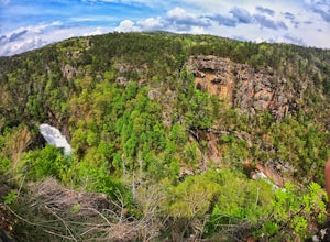
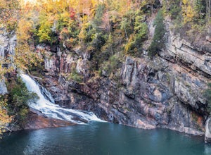
Tallulah Gorge is a must-see feature of Georgia. Campers can lay low and experience the gorge from its floor, engaging in river activities such as kayaking or swimming. Those seeking a thrill can hike the rim trails of the gorge, and even cross an 80' high suspension bridge. (Hikers who may be fe...
Read more
-
Tallulah Falls, Georgia
4.4
1.85 mi
/ 564 ft gain
The trail is located in Tallulah Gorge State Park which is about 1 ½ hours northeast of Atlanta, off of Highway 441. There is a $5 per car entry fee into the park and they prefer the use of cash. From there, follow the signs to the Jane Hurt Yarn Interpretive Center, where there is parking and pl...
Read more
-
Cashiers, North Carolina
3.3
1.7 mi
/ 1000 ft gain
Upon entering High Hampton Inn, follow the entrance road past the registration building, cart shed and parking lot. Take a right down a gravel road that follows alongside Hampton Lake. This gravel road continues for half a mile, even winding through part of the golf course and crossing over the c...
Read more
-
Highlands, North Carolina
This is an awesome waterfall that offers views from several different spots along the road as well as a quick hike down to the base!
The small pull-off area is located towards the top of the falls. There isn't much space (3 maybe 4 cars at a time), but there are additional pull-off areas further ...
Read more
-
Sunset, South Carolina
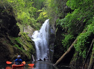
This stunning waterfall tumbles down 80 feet before spilling into Lake Jocassee between a slot of shear rock cliffs. However, the catch is not many people see this beautiful location unless you have a boat or are willing to hike a streneous 8-mile hike one-way along the Foothills Trail.But I am s...
Read more
-
Cullowhee, North Carolina
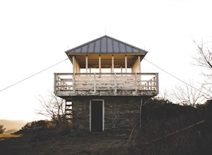
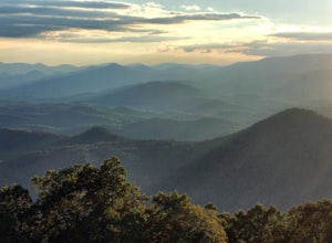
Yellow Mountain Fire Tower features some of the best views, looking out over both the Northern Georgia mountains as well as seeing the flat-lands of South Carolina past the mountain ranges. This hike is pretty well known for its 12-mile round trip trek, starting in Cashiers, NC, however, there's ...
Read more
-
Lake Toxaway, North Carolina
4.5
3.91 mi
/ 778 ft gain
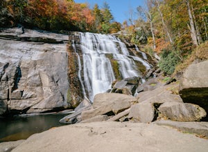
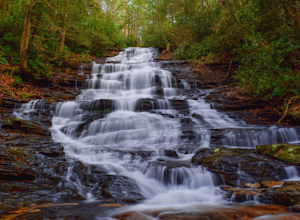
Rainbow Falls is one of the most scenic waterfalls in North Carolina's Blue Ridge Mountains. The Horsepasture River swells in the rainy season, dumping a cascade of water 150 feet. The plume of mist at the bottom creates a distinct rainbow effect, giving the falls its name. Hike to Rainbow Falls ...
Read more
-
Clarkesville, Georgia
3.7
7.27 mi
/ 659 ft gain
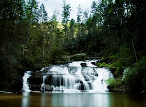
Park at the Panther Creek Recreation Area. The fee to park here is $4. There is extra parking alongside the road if the parking lot is full.
The trail begins opposite the parking area, noted by a wooden sign. The trail gains elevation here and there with several drop-offs secured by cable cord f...
Read more
-
Lakemont, Georgia
Despite their beauty, not many hikers know about Minnehaha Falls. Even more shocking, these are some of the most accessible falls in all of North Georgia. Round trip, the hike to the falls will only take about a half a mile. Hikers can park along the side of the road at the trailhead. Follow the ...
Read more
-
Tiger, Georgia
In order to find this hidden gem, you'll have to drive quite a ways up the mountain first, otherwise it is a very steep incline. There will be limited parking at the gate that stops you from driving the whole way up. You will turn onto a road called "Glassy Mountain Rd" and that will be the road ...
Read more
-
Otto, North Carolina
From the parking area (fits about 6 cars) follow the trail on the same side of the road up the ridge through dense rhododendron. Several spur trails branch off of the main trail and lead to rock outcroppings with excellent views. Getting to the parking area is slow. The narrow gravel road winds...
Read more
-
Sunset, South Carolina
Once you get to the destination there should be a small parking area. At the end of this parking area you will see the start of the Twin Falls trail that will be mostly a flat walk. Follow this trail approximately 0.5 miles to the falls. You will know you are in the right place if the creek is r...
Read more

