Greenville County, South Carolina
Looking for the best hiking in Greenville County? We've got you covered with the top trails, trips, hiking, backpacking, camping and more around Greenville County. The detailed guides, photos, and reviews are all submitted by the Outbound community.
Top Hiking Spots in and near Greenville County
-
Hendersonville, North Carolina
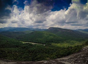
Hike along The World's Edge
0.7 mi / 40 ft gainPark at the end of The World's Edge Road, but be aware that parking is very limited. There is a private residence up to the right so do not block their driveway/gate. Begin your hike by going through the leftmost gate, and continue straight until you reach the first view less than half a mile in....Read more -
Walhalla, South Carolina
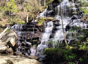
Hike to Issaqueena Falls and Stumphouse Tunnel
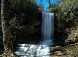
4.01.5 mi / 250 ft gainFrom Walhalla South Carolina, follow SC 28 westward 7 miles until you see Stumphouse Tunnel Park on the right-hand side of the road. Take this road halfway down, and park in the parking area on the right. From here, you can travel a short walk to the falls overlook, or, for the more adventurous ...Read more -
Walhalla, South Carolina
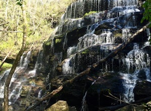
Hike to Yellow Branch Falls
5.03 miOnce you have turned into the picnic area off of Highway SC 28, you will see the open and easy parking area. The trail begins at 2 points on the southern end of the parking area. These 2 points form a small loop about 0.2 miles long, with a spur in the middle of the loop onto the main yellow bran...Read more -
Brevard, North Carolina
Looking Glass Rock
4.65.43 mi / 1572 ft gainThis is a really nice, moderately difficult hike along a cascading creek, up switchbacks, and through wildflower fields. A couple miles in, you'll reach a helipad that is used for rescuing injured rock climbers - Looking Glass Rock is a popular destination for world class climbing. There is a sma...Read more -
Brevard, North Carolina
Hike the Toxaway River Trail
5.01.25 miThis easy 1.25 mile hike is located within the Lake Toxaway community. The trail itself follows a small creek as it winds through the valley. Be warned - there are numerous stream crossings. Most of the crossings are fairly easy at normal water levels, but can be difficult if the water is high. S...Read more -
Brevard, North Carolina
Hike to John Rock
5.05 mi / 1000 ft gainThis 5 mile loop begins at the Pisgah Center for Wildlife Education and State Fish Hatchery near Brevard, NC. Ample parking is available adjacent to the trailhead with bathrooms and water accessible. Grab a map from inside as well. To start the hike, look at the education center, to the left is t...Read more -
Brevard, North Carolina
Moore Cove Falls
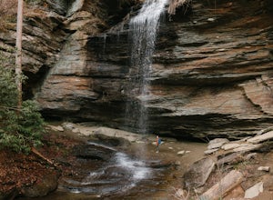
4.31.28 mi / 223 ft gainThe hike relatively quick and has minimal elevation gain, making it a great hike for the family or a quick stop off if you're planning to do another hike in the same day. This part of the Pisgah National Forest is filled with scenic hikes. Once you've parked your car, cross over the stream via a...Read more -
Lake Toxaway, North Carolina
Hike to Raven Rock Falls
0.5 miIf you want to see a great waterfall without hiking all day, this is the perfect trail for you. Getting there - The trailhead is about 2 miles from the intersection of Cold Mountain and Panther Ridge Road (exact coordinates: 35.1594, -82.9801). There is a small grassy pull out where you can park...Read more -
Mountain Rest, South Carolina
Hike to Kings Creek Falls
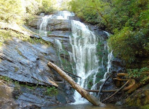
4.80.5 miThe trail to Kings Creek begins behind the bulletin board in the Burrells Ford primitive campground parking lot. It is an easy .5 mile trail to the falls. The falls are only 70ft high but they are beautiful, there is an area to the side of the falls with some nice sitting rocks and the area under...Read more -
Mountain Rest, South Carolina
Hike to King Creek Falls
0.6 miVery nice dog-friendly and family-friendly adventure! The hike is not long at all and the end result is a beautiful 70 ft waterfall with a pooled area at the bottom! Old logs are around for sitting on and relaxing while enjoying your lunch or snacks...Read more -
Mountain Rest, South Carolina
Hike along the Chattooga River to Spoonauger Falls
1 mi / 100 ft gainSpoonauger falls housed in Sumter National Forest, received its name after the Spoonauger family which historically lived above the falls. From Walhalla SC, drive north on Highway 28 until it meets SC 107 (right under 10 miles). Take a slight right onto SC 107 and drive another 10 miles until yo...Read more -
Mountain Rest, South Carolina
Hike to Big Bend Falls
5.06.5 miThe hike to Big Bend Falls begins on the Chattooga River Trail at the Burrell's Ford Campground. To get here you take Burrell's Ford Road off of SC 107. There will be a good sized gravel parking area off to the left about 3 miles down Burrell's Ford Road. When you park the car you can walk down t...Read more -
Cashiers, North Carolina
Hike to Silver Run Falls
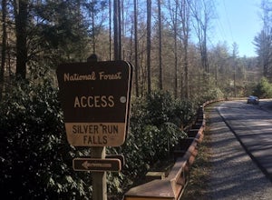
0.25 mi / 100 ft gainThe hike to this waterfall is very short and well worth it. The waterfall is about 40 feet tall and has a large volume of water. This makes for a great place to swim. The bottom of the pool is about 15 feet deep and offers cool mountain water. To get there it is just outside of Cashiers, North C...Read more -
Lake Toxaway, North Carolina
Hike to Schoolhouse Falls and Little Green
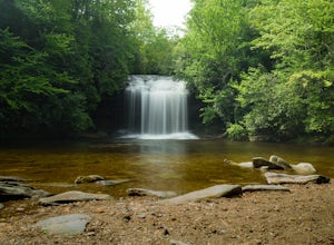
5.03 miTrail signs in Panthertown Valley are limited. Be sure to bring a map! Starting at the Cold Mountain parking lot, hike to Schoolhouse Falls. This is a nice waterfall with a pool at the bottom. In the summer, you are bound to run into other fellow hikers here. From Schoolhouse Falls, you have the...Read more -
Lake Toxaway, North Carolina
Hike to Warden, Jawbone, and Riding Ford Falls
4.5 miWarden, Jawbone, and Riding Ford Falls are three waterfalls located along the headwaters of the Tuckasegee River in Panthertown Valley. Not far from the Cold Mountain trailhead, these falls are quite popular in the summer. On a weekend, you will often find people playing in the pools below the fa...Read more -
Lake Lure, North Carolina
Explore Chimney Rock
4.00.5 miChimney rock is a beautiful slab of weather granite that is visible from miles around. To get to this hike you'll want to head to Lake Lure in North Carolina, a beautiful lake located in the mountains of western North Carolina. Follow the signs for Chimney Rock and take the switchback road up t...Read more

