Columbia, South Carolina
Looking for the best hiking in Columbia? We've got you covered with the top trails, trips, hiking, backpacking, camping and more around Columbia. The detailed guides, photos, and reviews are all submitted by the Outbound community.
Top Hiking Spots in and near Columbia
-
Columbia, South Carolina
Explore Columbia Riverfront Park
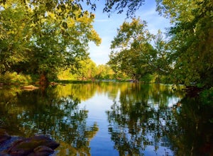
4.55 miThis park is located alongside of the Columbia Water Treatment Facility. You are able to walk on the paved path that has mile markers every 1/4 of a mile. Or, you can hike along one of the nature trails placed throughout the park that run right alongside the river. Bikes are allowed anywhere alon...Read more -
Cayce, South Carolina
Hike the Guinard Clay Quarry Loop
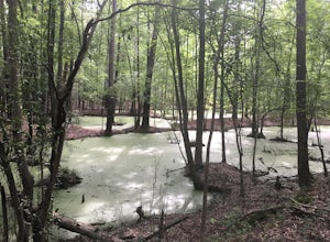
2.5 mi / 19 ft gainThis trail is a short 2.5 mile loop through what used to be the Guinard Clay Quarry in West Columbia, SC. The old pits from which clay used to be harvested have formed a bunch of ponds which attract wildlife. There are alligators in this area as well as deer, hogs, bobcats, snakes, turtles and bi...Read more -
Hopkins, South Carolina
Hike the Weston Lake Trail, Congaree NP
5.04.5 mi / 0 ft gainIf you're looking for a longer hike in Congaree National Park than just the Boardwalk Loop, try adding another 2.0 miles to the Boardwalk Loop by hiking the Weston Lake Trail. From the visitor's center, take the Boardwalk Trail and stay straight at the intersection with the Bluff Trail. The ele...Read more -
Hopkins, South Carolina
Boardwalk Loop
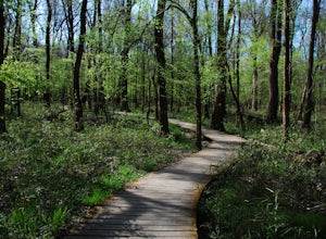
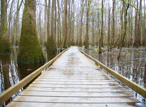
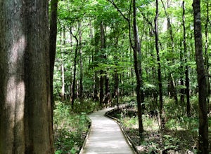
4.52.33 mi / 157 ft gainThe Boardwalk Loop begins at the Harry Hampton Visitor Center where you can get a Self-guided Boardwalk Tour brochure. There aren't any water refilling stations along this trail, so be sure to fill up your water bottles before you descend down an elevated platform that leads into the forest. Alon...Read more -
Hopkins, South Carolina
Hike the River Trail at Congaree National Park
5.010 miStart your adventure at the parking lot for Congaree National Park and make your way to the Harry Hampton Visitor Center. There you can find clean bathrooms, drinking fountains, a gift shop, and trail guides. When you're ready to begin your hike, begin on the boardwalk and follow the signs for th...Read more -
Lexington, South Carolina
Hike the Fourteen Mile Creek Trail
5.01.5 miThis tucked away trail is well-hidden. I actually needed air in my tire and this was the closest gas station. As I was circling the parking lot to see if they had an air pump, I saw there was a sign that read "14 Creek Mile Trail". As I'm an adventure lover, I immediately parked my car and follow...Read more -
Lexington, South Carolina
Explore Gibson Pond Park
3.70.4 miI started exploring this park when I was about 14 years old. My mom was a huge fan of the park and took us to it as kids. However, I did not realize that there was a path until I was roughly 20 years old. That path is beautiful. It is a paved loop that covers about 0.4 miles. There are smaller pa...Read more -
Little Mountain, South Carolina
Take a Stroll on the Palmetto Trail across the Broad River Trestle
4.51 mi / 0 ft gainThe Palmetto Trail is a mountains-to-sea trail in South Carolina that will stretch 425 miles across the state when completed. Currently there are sections of the the trail that are complete and can be hiked or biked on. One of these sections is in the Midlands of SC and is called the Peak to Pros...Read more -
Santee, South Carolina
Hike through Santee State Park
10 mi / 0 ft gainFrom Columbia SC, take I-26 South towards Orangeburg. Stay on this road for 31.5 miles and then take exit 136 to merge onto SC-6 E towards St. Matthews. Continue 28.3 miles along this road until you enter the small town of Elloree. Here you will turn left onto E Cleveland Street/ State Rd S-38-10...Read more -
Santee, South Carolina
Hike Santee National Wildlife Refuge
5.01.25 mi / 0 ft gainFrom Columbia SC, take I-26 South towards Orangeburg. Stay on this road for 31.5 miles and then take exit 136 to merge onto SC-6 E towards St. Matthews. Continue about 34 miles until you enter the town of Santee. Turn left onto I-95 Northbound and continue another 3 miles. You will see a large wo...Read more -
Kershaw, South Carolina
Forty Acre Rock and Beaver Pond Loop
3.23.76 mi / 430 ft gainThis 2,267 acre preserve is known for its hiking, birding, and a 14-acre granite flatrock with a variety of wildflowers to observe. This moderate hike will take you past the flatrock, as well as a small waterfall and pond. Start from the upper parking, where you'll follow Conservancy Rd for a sh...Read more -
Kershaw, South Carolina
Forty Acre Rock Loop
1.82 mi / 187 ft gainThis loop hike near Kershaw, SC is somewhat strenuous at some points, but altogether not too bad. The scenery is beautiful with great views and a waterfall! Be sure to pack plenty of water if you hike on a hot day.Read more

