Providence, Rhode Island
Looking for the best hiking in Providence? We've got you covered with the top trails, trips, hiking, backpacking, camping and more around Providence. The detailed guides, photos, and reviews are all submitted by the Outbound community.
Top Hiking Spots in and near Providence
-
Milton, Massachusetts
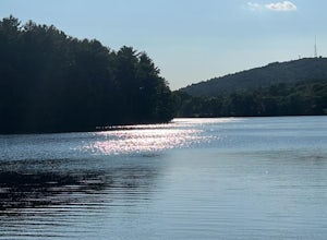
Houghton's Pond Recreation Area
1.2 mi / 79 ft gainHoughton's Pond Recreation Area is a loop trail that takes you by the lake located near Milton, Massachusetts.Read more -
South Kingstown, Rhode Island
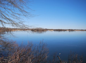
Hike the Osprey Point Loop on Trustom Pond
2 miCareful on the drive in for deer! From the parking lot head right around the Farm Field Loop Trail then continue to your right down Osprey Point Trail (0.8 miles). This is where you will most likely see the deer up close. Continue to your right to the Osprey Point Overlook, which will (on a clear...Read more -
Wellesley, Massachusetts
Walk along Lake Waban
3 miNote: The campus is currently closed due to COVID-19 restrictions. This is a lake on Wellesley College Campus. It is easy to get to from just about any direction. Just park and walk toward the lake, and there are paths that will take you there. The easiest place to park (pinned on the map) is ju...Read more -
North Stonington, Connecticut
Hike Wyassup Lake
5.02.4 mi / 278 ft gainWyassup Lake is a 2.4 mile out and back hike that takes you past great forest setting located near North Stonington, Connecticut.Read more -
Westerly, Rhode Island
Grills Preserve
4.04.27 mi / 351 ft gainGrills Preserve is a loop trail that takes you by a lake located near Bradford, Rhode Island.Read more -
Quincy, Massachusetts
Hike The Skyline Trail at Blue Hills
4.012.7 mi / 2542 ft gainPark in the lot across from Batterymarch Rd off of Willard St. Access the Skyline trail from here, it is marked blue. Follow the signs. The trails in Blue Hills are perfect for training for backpacking because they are so steep and rocky. I would fill up a big pack and take the skyline trail up t...Read more -
Boston, Massachusetts
Run the Arnold Arboretum Trail
5.02.6 mi / 150 ft gainPark in the lot off of Arborway to access the trail. This place is gorgeous year round. The winter offers a quiet solitude, fall boasts bright colors, spring is the most beautiful as the flowers start to burst and cherry blossoms take over, and summer is overwhelmingly green. There are dozens of ...Read more -
North Stonington, Connecticut
Hike Narragansett Trail
4.010.7 mi / 1 ft gainNarragansett Trail is a 10.7 mile point-to-point hike that takes you by a lake located near North Stonington, Connecticut.Read more -
Chaplin, Connecticut
Hike to Diana's Pool
4.01.3 mi / 45 ft gainThe drive to Diana's Pool is worth it in an of itself, taking you through the backroads of Eastern Connecticut. To begin the hike just simply enter the woodland path and follow the trail. In order to go under the bridge just simply take the first left in the path and there will be a stream that f...Read more -
Marlborough, Massachusetts
Hemingway Street Trail
1.73 mi / 197 ft gainHemingway Street Trail is an out-and-back trail that provides a good opportunity to view wildlife located near Marlborough, Massachusetts.Read more -
Franklin, Connecticut
Hike Baileys Ravine at Ayer's Gap Preserve
1.6 mi / 314 ft gainIt's steep and rocky in the beginning but it levels out after a while! When standing in the parking lot, the trailhead is hidden! Look to the right. The trail ends on Ayer's Road so you have to walk back a little ways on the road.Read more -
Norwell, Massachusetts
Hike the Norris Reservation Loop
2.4 mi / 60 ft gainChoose from multiple trails in Norris that offer beautiful views of the the North river and marshland. Great spot to do some trail running through the woods and see the river too. There is also a pond a short distance from the parking lot that offers a great fishing spot with a picnic table nearb...Read more -
Norwich, Connecticut
Explore Yantic Falls Historic District
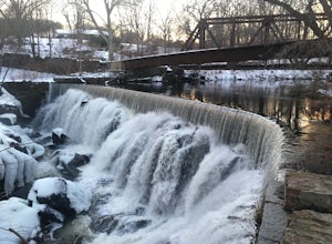
0.3 mi / 26 ft gainThe Yantic Falls Historic District encompasses a historic mill and associated worker housing on Yantic Street in Norwich, Connecticut. The 10 acre area includes a complex of mill buildings arrayed along the Yantic River, and a group of three brick mill worker houses. Today, Yantic Falls is part d...Read more -
Mansfield, Connecticut
Hike Nipmuck Trail
5.08.3 mi / 748 ft gainNipmuck Trail is a 8.3 mile out and back hike that takes you past wildlife located near Mansfield Center, Connecticut.Read more -
Stonington, Connecticut
Hike River Road
4.03.9 mi / 55 ft gainRiver Road is a 3.9 mile point-to-point hike that takes you by a river located near Mystic, Connecticut.Read more -
Boston, Massachusetts
Freedom Trail
4.72.9 mi / 121 ft gainPark along the trail and then hop on. The Freedom Trail allows you to not only see the most beautiful parts of Boston (which is an absolutely gorgeous city) but you can learn some history too! Head off the trail a bit to explore the Charles River, the waterfront near the aquarium and picturesque ...Read more

