Sweet Valley, Pennsylvania
Looking for the best hiking in Sweet Valley? We've got you covered with the top trails, trips, hiking, backpacking, camping and more around Sweet Valley. The detailed guides, photos, and reviews are all submitted by the Outbound community.
Top Hiking Spots in and near Sweet Valley
-
Hillsgrove, Pennsylvania
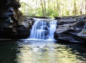
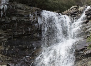
Hike to Mill Creek Falls in the Loyalsock State Forest
4.00.5 miThe Loyalsock State Forest is full of beautiful waterfalls and Mill Creek Falls is one of them. The 12 foot high falls is one of the smaller falls in the forest, but is still worth a visit as it sits in a beautiful grotto and contains a scenic plunge pool. I've also never seen another person in m...Read more -
Albrightsville, Pennsylvania
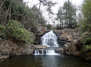
Hawk Falls in Hickory Run State Park
4.10.68 mi / 108 ft gainHawk Falls is located in Hickory Run State Park, Pennsylvania in the Poconos Mountains. The trail is mostly downhill, with some slippery sections so wear adequate shoes and take caution when you approach the falls. A rock outcrop at the top of the falls makes for a great lookout point. The 0.7 ou...Read more -
Williamsport, Pennsylvania
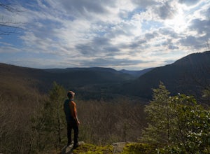
Rough Hill Trail
1.94 mi / 663 ft gainAccess to Rough Hill Trail is easy to locate, it is the same parking as Sandy Bottom Access to the Loyalsock Creek and there is a large sign at the turn off on route 87. Once you are in the parking area, there is clear signage for the trail and it is blazed yellow initially following back past ...Read more -
Penn Forest Township, Pennsylvania
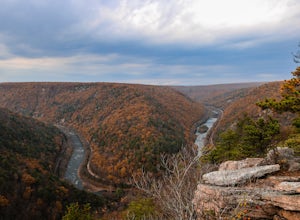
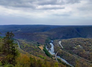
Tank Hollow Vista
4.03.33 mi / 272 ft gainThis is a simple, short hike to a fantastic vista looking out over the Lehigh River Gorge. The trailhead for the hike to Tank Hollow Vista is along Behrens Road just outside of Jim Thorpe, PA. Most of the hike is on state game lands. If the gate is open from the first lot, you can shorten this h...Read more -
Jim Thorpe, Pennsylvania
Hike to Glen Onoko Falls
4.64.1 mi / 987 ft gain*Again, this hike is CURRENTLY CLOSEDThere are several WRONG ways to do this trail. Follow these simple instructions to get the most out of all Glen Onoko has to offer: Parking: Parking in the correct location is the most important step to this trail. Beware: typing in Glen Onoko Falls in Google ...Read more -
Jim Thorpe, Pennsylvania
Bike the Switchback Trail around Mauch Chunk Lake Park
5.011 miThe trail entrance can be found by going up Broadway and taking Hill Road to the right at the Opera House. At the top of Hill Road will be the entrance to the trail; there is a nice little wooden sign so you don't miss it. This trail can be hiked or biked; we chose to do some mountain biking.Th...Read more -
Jim Thorpe, Pennsylvania
Bike the Lehigh Gorge Trail: Lock #2
4 miIt was a rainy day, which brings along mud (but I think mountain biking is better in the rain and mud anyways).Enter the trail by going through the county parking lot and to the left end under the bridge. The trail starts along the tracks and you can admire the restored old rail cars. Cross ove...Read more -
Williamsport, Pennsylvania
Hike Smith's Knob Hike via the Loyalsock Trail
5.08.3 mi / 1400 ft gainSmith's Knob is a short, but fairly challenging section of the overall Loyalsock Trail. Smith's Knob has a distinctively round peak, and viewed from Rider Park, sticks out to all very easily. The trail starts off very steep, and will require some effort right away. However, it soon becomes more o...Read more -
Trout Run, Pennsylvania
Old Loggers Path
4.027.24 mi / 3698 ft gainOld Loggers Path is a loop trail that takes you by a waterfall located near Ralston, Pennsylvania.Read more -
Williamsport, Pennsylvania
Backpack the Old Logger's Path
5.027 miThe Old Logger's Path follows abandoned logging roads in a loop through the Loyalsock State Forest. There are multiple places to join the trail, but most people start in the ghost town of Masten, PA.Highlights include Rock Run, noted by many as the most beautiful steam in Pennsylvania. Vistas alo...Read more -
Lehighton, Pennsylvania
Hike the Falls Trail at Beltzville State Park
4.05.5 miAt the Christman Trailhead, hike a quick, flat 2.5 miles following the yellow trail markers through farm meadows and birch forests to the Falls Trail loop/intersection. Here hike the Falls trail which is a 0.5 mile loop that links back to the 2.5 mile section back to the parking area. Bridges and...Read more -
Montoursville, Pennsylvania
Hike to Jacoby Run Falls
4.03.3 mi / 341 ft gainThe trailhead is at a large gravel parking area off of Wallis Run Road. The trail begins on a boardwalk over a wetland that leads into hemlock forest and mixed hardwoods.The yellow blazed trail follows Jacoby Hollow at a steady slight incline and leads to the 45 foot Jacoby Falls. Best times to...Read more -
Trout Run, Pennsylvania
Jacoby Hollow
5.03.2 mi / 545 ft gainJacoby Hollow is an out-and-back trail that takes you by a waterfall located near Trout Run, Pennsylvania.Read more -
Trout Run, Pennsylvania
Hike the Katy Jane Trail in Rider Park
4 mi / 560 ft gainHiking, trail running, mountain bike riding, cross country skiing and other low impact recreational activities are all part of what Rider Park has to offer. My personal favorite is the 3.6 mile Katy Jane Trail with a 560 vertical rise. It begins on the right side of the parking area. The trails a...Read more -
Jim Thorpe, Pennsylvania
Hike to Bake Oven Knob
5.00.76 miThe trail is VERY rocky and stepping up the rocks requires proper footwear. From the beginning of the trail, hike until you reach an opening filled with rocks and boulders. Stay to the left of this and you will see the unmarked trail continue. After climbing up this, there is an overlook to the N...Read more -
Montgomery, Pennsylvania
Hike through SGL 252
4.76 mi / 400 ft gainWhat was once known as the town of Alvira PA, is now known as State Game Lands number 252. During WWII the land was seized by the army and used as an army ordnance. Because of its past, while you are exploring, be on the lookout for old ammunition bunkers that have succumb to years of neglect, an...Read more

