South Sterling, Pennsylvania
Top Spots in and near South Sterling
-
Jim Thorpe, Pennsylvania
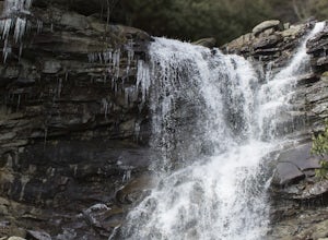
*Again, this hike is CURRENTLY CLOSEDThere are several WRONG ways to do this trail. Follow these simple instructions to get the most out of all Glen Onoko has to offer:
Parking: Parking in the correct location is the most important step to this trail. Beware: typing in Glen Onoko Falls in Google ...
Read more
-
Jim Thorpe, Pennsylvania
It was a rainy day, which brings along mud (but I think mountain biking is better in the rain and mud anyways).Enter the trail by going through the county parking lot and to the left end under the bridge. The trail starts along the tracks and you can admire the restored old rail cars. Cross ove...
Read more
-
Jim Thorpe, Pennsylvania
The trail entrance can be found by going up Broadway and taking Hill Road to the right at the Opera House. At the top of Hill Road will be the entrance to the trail; there is a nice little wooden sign so you don't miss it. This trail can be hiked or biked; we chose to do some mountain biking.Th...
Read more
-
Wantage, New Jersey
Start this hike from the Appalachian Trail parking area off route 23, south bound side, south of the park office. Follow the Blue Dot trail until is intersects with the Iris Trail. The Iris Trail (marked with red blazes) is a through hike that is about 5 miles long. It parallels the Appalachian T...
Read more
-
Sussex, New Jersey
You'll need at least a weekend to sample all that High Point State Park has to offer.
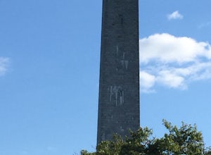
One of the park's must-do hikes is to High Point Monument (1,803 ft), where you have panoramic views of the Pocono and Catskill Mountains, and the Wallkill River Valley. Additionally, there are 50 total miles of...
Read more
-
Walnutport, Pennsylvania
4.5
2.15 mi
/ 817 ft gain
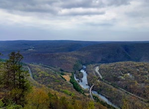
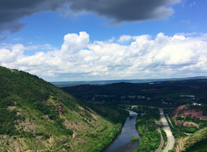
Lehigh Gap was formed by the Lehigh River carving a large hole in the foothills of the Appalachian Mountains. One side is owned and operated by the Lehigh Gap Nature Center and has some great hikes, but this side is government-owned. Parking for this portion of the Appalachian Travel is up a litt...
Read more
-
Washington, New Jersey
4.0
5.33 mi
/ 371 ft gain
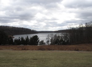
Merrill Creek Reservoir Perimeter Trail is a loop trail that takes you by a lake located near Stewartsville, New Jersey.
Read more
-
Phillipsburg, New Jersey
3.0
1.89 mi
/ 371 ft gain
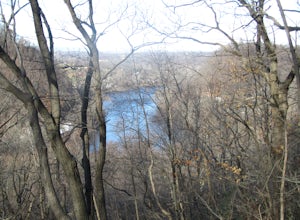
Marble Hill Ice Cave via Warren-Highlands Trail is a loop trail that takes you by a river located near Phillipsburg, New Jersey.
Read more
-
Jim Thorpe, Pennsylvania
The trail is VERY rocky and stepping up the rocks requires proper footwear. From the beginning of the trail, hike until you reach an opening filled with rocks and boulders. Stay to the left of this and you will see the unmarked trail continue. After climbing up this, there is an overlook to the N...
Read more
-
Vernon Township, New Jersey
4.8
6.8 mi
/ 1089 ft gain
This popular hike starts out on the Appalachian Trail (AT, white blazes). You begin on a boardwalk that crosses over a marsh, then you leave the boardwalk and enter a forested area. At around 1.4 miles, follow a bicycle path, Canal Road, then turn right, cross over a bridge, and take a left throu...
Read more
-
Bloomsbury, New Jersey
Start out on Ridge Trail (yellow blazes), found at the rear of the parking lot. Shortly, you will come to a stream crossing, followed by a set of wooden steps. Just before the next stream, turn left following the white blazes. This section of the trail makes a moderately rocky descent, as it foll...
Read more
-
Califon, New Jersey
There are multiple places to pick up the Columbia Trail (High Bridge, Califon, Long Valley, Flanders) but this post is for biking or running from Califon to High Bridge and back. The best place to park is at the old town railroad station on, of course, Railroad Ave. You will be able to see the en...
Read more
-
Califon, New Jersey
One of New Jerseys best kept secrets has to be the Ken Lockwood Gorge. If you are looking for a relaxing, beautiful, and nature packs place then this area is perfect for you. You can access the gorge from two different points, either by driving down Raritan River Rd. and parking right before you ...
Read more
-
Washington Township, New Jersey
This is a relatively easy hike through Hacklebarney State Park that is great for families with younger children, rock scrambling, photography, and just hanging out in nature. There are two different ways to explore Hacklebarney, either by staying on the packed gravel path or by following the bank...
Read more
-
Benton, Pennsylvania
4.9
6.29 mi
/ 938 ft gain
Ricketts Glen State Park in Pennsylvania sprawls over 13,050 acres in the Luzerne, Sullivan and Columbia counties. The park boasts a lake, 21 named waterfalls, diverse wildlife and old growth timber. There are two Falls Trails alternatives – a long and short loop.
The long loop is 7.2 miles long...
Read more
-
89 Van Orden Road, New Jersey
Hank's Pond loop can be accessed from the south at the corner of Clinton road and Van Orden road or from the north, parking at the lot on Stephens road. I hiked from the south on this trip. Follow the wide trail known as Hank's East trail marked with white blazes. Soon you will reach a trail c...
Read more

