Marysville, Pennsylvania
Looking for the best photography in Marysville? We've got you covered with the top trails, trips, hiking, backpacking, camping and more around Marysville. The detailed guides, photos, and reviews are all submitted by the Outbound community.
Top Photography Spots in and near Marysville
-
Marietta, Pennsylvania
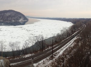
Climb At Chickies Rock
From parking at the fairly new lot on Furnace Road, head down river on the walking trail about a half mile to an obvious large face next to the train tracks. From here you choose from a variety of routes including some two pitch routes like Witches’ Brew 5.4 to Main Street 5.5 over to some of the...Read more -
Newville, Pennsylvania
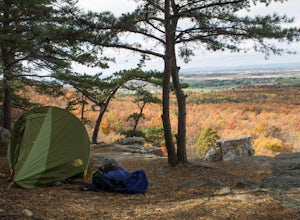
Camp at Tom's Run Shelter
3 mi / 85 ft gainStarting from the small parking area on Bunkerhill Rd, head north (turn right) onto Michaux Rd. After about 1/3 of a mile you will reach the Appalachian Trail where you will want to head west (turn left).This will lead you on a leisurely hike through the woods (follow the white blazes). It won't ...Read more -
Chambersburg, Pennsylvania
Rock Climb at White Rocks
White Rocks, a segment of the slightly larger Pond Bank area, is a single pitch top rope or traditional climbing area. To get there, follow 30 until you are a few miles west of Caledonia State park and reach an intersection of 997. You can then head south on 997 until you reach White Rock Road. ...Read more -
Freeland, Maryland
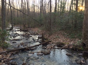
Hike Hemlock Gorge
5.03.5 mi / 300 ft gainThis is one of Baltimore's little known gems. The area contains an ecosystem which is essentially non-existent outside of the Appalachian mountain regions. It has also been seemingly under-appreciated and abused by locals. I am trusting that the Outbound Collective community will do its part to e...Read more -
Mifflinburg, Pennsylvania
Stroll along the Rapid Run Nature Trail
1.09 miThere are multiple ways to access and start the trail, there is a small parking area near the intersection of McCall Dam Road and Route 192 or you can access from the other end near the beach at Halfway Lake. The trail is well marked with yellow blazes and easy to fall. This is a simple hike, b...Read more -
Airville, Pennsylvania
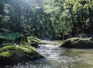
Explore Mill Creek Falls
It's not too hard to find the Mill Creek Falls; you can see it from the parking lot. This is an ideal spot if you just need a quick fix of something beautiful. From the road, follow the blue blazes of the Mason-Dixon Trail up the hill. After you admire and photograph the falls, consider hiking t...Read more -
Airville, Pennsylvania
Hike the Mason-Dixon Trail to Peavine Island
2 miThe Mason-Dixon Trail is a 200-mile trail that begins and ends in Pennsylvania, passing through Maryland and Delaware along the way. The trail connects the AT to the Brandywine Trail and spends considerable time adjacent to the wide and wondrous Susquehanna River. One of the Mason-Dixon trail's m...Read more

