Marietta, Pennsylvania
Looking for the best chillin in Marietta? We've got you covered with the top trails, trips, hiking, backpacking, camping and more around Marietta. The detailed guides, photos, and reviews are all submitted by the Outbound community.
Top Chillin Spots in and near Marietta
-
Marietta, Pennsylvania
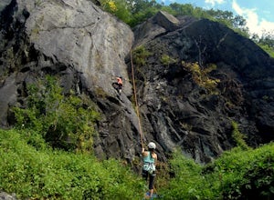
Climb At Chickies Rock
From parking at the fairly new lot on Furnace Road, head down river on the walking trail about a half mile to an obvious large face next to the train tracks. From here you choose from a variety of routes including some two pitch routes like Witches’ Brew 5.4 to Main Street 5.5 over to some of the...Read more -
Conestoga, Pennsylvania
Climb at Safe Harbor
3.3Directions: Drive to Safe Harbor. From Safe Harbor, take River Road south to Green Hill Road--this road is very windy. Drive towards Shenk's Ferry Wildflower Preserve. When you reach the tunnel, park on either side of the tunnel. There isn't too much parking here so I'd suggest carpooling.The tra...Read more -
Freeland, Maryland
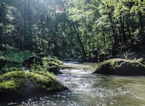
Hike Hemlock Gorge
5.03.5 mi / 300 ft gainThis is one of Baltimore's little known gems. The area contains an ecosystem which is essentially non-existent outside of the Appalachian mountain regions. It has also been seemingly under-appreciated and abused by locals. I am trusting that the Outbound Collective community will do its part to e...Read more -
Bel Air, Maryland
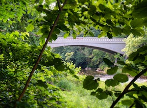
Hike the Deer Creek Trail
5.02 miBecause Palmer State Park is still under development (with no timeline given for its completion), there are only a few trails that meander through this 555-acre reserve. Palmer's official website offers a not-so-helpful topographical map, but the easiest way into the park that I could find was ne...Read more -
Birdsboro, Pennsylvania
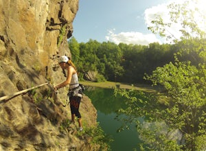
Climb at Birdsboro Quarry
To get there follow back roads to the parking lot that is tagged in the description. From here, follow the trail/road paralleling Hay Creek until you reach a few large buildings. There is an obvious sign here on the regulations of the area. Do not go through the fence to the right and instead ...Read more -
Owings Mills, Maryland
Soldiers Delight Loop
4.75.33 mi / 466 ft gainFrom Deer Park Road, parking is available at the nature center or the scenic overlook (about 100 yards up the road). I typically park at the overlook as this affords the ability to hike trails on either side of the road, and always finish the hike back at the car. From the parking area you are ju...Read more -
Kempton, Pennsylvania
Hike the Pinnacles and Pulpit Rock
4.29 mi / 1200 ft gainPark in the lot near the Hamburg Reservoir and hike around the barrier and up the gravel road. Shortly on your right the Appalachian Trail branches off the road. Follow the white blazes of the AT for around 2 miles to the Pulpit Rocks, just before the trail passes the Lehigh Valley Astronomical S...Read more -
Baltimore, Maryland
Paddle Dundee Creek
1.5 miFollow the main entrance road down and to the right of the nature center to a turn around loop, where a car can be temporarily parked to unload/load boats onto the pier. You can launch canoes and kayaks on the end of the pier which goes directly out to Dundee Creek. From the launch site, paddlers...Read more

