Kempton, Pennsylvania
Looking for the best photography in Kempton? We've got you covered with the top trails, trips, hiking, backpacking, camping and more around Kempton. The detailed guides, photos, and reviews are all submitted by the Outbound community.
Top Photography Spots in and near Kempton
-
Tinicum Township, Pennsylvania
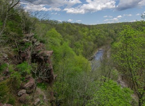
Hike the High Rocks State Park Loop
4.61.5 miHigh Rocks State Park, a section of Ralph Stover State Park, offers visitors some of the best views in Eastern Pennsylvania. Across from the parking lot on Tory Road, you will find the main trailhead. This will lead you to several different trail options, all varying in length, and all bringing y...Read more -
Malvern, Pennsylvania
Hike Valley Forge
3.92.5 miThere are many trails to choose from on Mt. Misery and a good place to start is at the parking lot located at the intersection of Yellow Springs Road and Library Lane (off of the main Valley Creek Road).The Mt. Misery Trail starts there, heads up through the trees about 0.75 miles and meets up wi...Read more -
Frenchtown, New Jersey
Hike to the Devil's Tea Table
3.00.5 mi / 20 ft gainApart from the rock, there's more trail to follow for a stunning overview and a great spot to hang out and relax. The view is a must-see, it is so much better in person. The hike is not challenging at all, it is basically a straight trail. Climbing some medium sized rocks might be required, but i...Read more -
Stockton, New Jersey
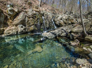
Explore Kugler Woods Waterfall
4.00.5 miDrive 5.2 miles north on Route 29 from the center of Stockton, NJ and you will come across a very small parking lot on the left side of the road. If you park your car there, walk back south on Route 29 about 50 feet, and cross over to the woods-side of the road. There you will find the trailhea...Read more -
Bangor, Pennsylvania
Hike Mount Minsi
3.6This is a great 5.5 mile hike at the Delaware Water Gap. You follow the Appalachian Trail the entire time (white marked trail) as it climbs to the top on Mt Minsi. There are multiple viewpoints on your way up that provide a great view of the water gap as well as some very picturesque trail points...Read more -
Columbia, New Jersey
Hike to Sunfish Pond
4.57.9 mi / 1150 ft gainAt the end of the parking lot, cross over the bridge and follow the Appalachian Trail (AT, white blazes) to a V-intersection. Turn right onto Dunnfield Creek Trail (green blazes), which will take you past a few cascades and up to Sunfish Pond. Relax and eat lunch at the pond. When you're ready, t...Read more -
Columbia, New Jersey
Hike Mt. Tammany via Red Dot Trail
4.62.3 mi / 1115 ft gainThis is a short but strenuous hike to a bluff overlooking the Delaware River and surrounding mountains and hills. The summit makes a good spot for a picnic or just for relaxing and watching the sunset. The entire hike also has plenty of beautiful photo ops, especially in the Fall. Find the trailh...Read more -
Columbia, New Jersey
Hike Mount Tammany's Red Dot and Blue Dot Loop
4.53.3 mi / 1197 ft gainMount Tammany located in the Delaware Water Gap is a very exciting hike. Short in length but with steep, rocky uphill portions this becomes more of a challenging trek. This hike allows for amazing views of the Delaware River, Route 80, and Mount Minsi on the other side. The summit makes for an aw...Read more -
Stockton, New Jersey
Hike to the Hidden Lockatong Waterfall
3.72 miIf you're on Kingwood Stockton Road, there will be a dirt road with a Lockatong Nature Preserve sign before it (going north on Kingwood Stockton Road, the sign will be on your left. If you're driving south, the sign will be on your right). Just drive all the way until the end of the dirt road and...Read more -
Columbia, New Jersey
Hike the Mount Mohican-Raccoon Ridge Traverse
7.5 mi / 1500 ft gainThis point to point hike can be done in either direction. There is parking at the entrance to Worthington Campground. Cross Old Mine Road and start up the Garvey Spring Trail (orange markers). The trail passes Laurel Falls on the right then ascends steeply until you reach an old forest road. The...Read more

