Woodburn, Oregon
Looking for the best hiking in Woodburn? We've got you covered with the top trails, trips, hiking, backpacking, camping and more around Woodburn. The detailed guides, photos, and reviews are all submitted by the Outbound community.
Top Hiking Spots in and near Woodburn
-
Beaver, Oregon
Hike to Niagara Falls, OR
4.04 mi / 800 ft gainGetting There Get onto Highway 101. Between Tillamook and Lincoln City at the town of Beaver, turn east near mile marker 80 onto a paved road toward upper Nestucca River. Follow this scenic road 6.7 miles to the town of Blaine. Stay to the right and drive another 4.8 miles; between mile markers 1...Read more -
Camas, Washington
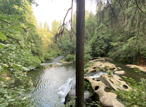
Explore Camas Pothole Falls
4.00.5 mi / 0 ft gainThis is on the Round Lake Loop trail and there’s a free parking area. It’s a relatively in and out hike that is family friendly but does have some downhill scrambles. Be careful when jumping as there has been fatalities in the past but as long as you’re practicing safe swimming you’ll be okay.Read more -
Gates, Oregon
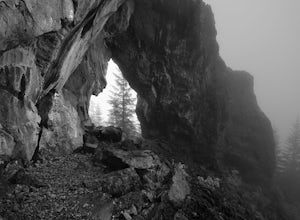
Natural Rock Arch
5.00.68 mi / 449 ft gainThe Santiam Forest is well known for its many beautiful spots, but this one is fairly uncommon. It's likely you will be the only person out here. Since it's such a short hike, just about a mile round trip, you could easily make it a pit stop on your way to or from someplace else and not have to w...Read more -
Camas, Washington
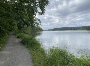
Hike Lacamas Heritage Trail
5.03.5 mi / 139 ft gainUsed often for cross country practice, the Lacamas Heritage Trail is a popular gem in Camas, Washington for all citizens. It is family and dog friendly and comes with endless scenic views of the beautiful Lacamas Lake. Parking is free and there are bathrooms at the entrance.Read more -
Gaston, Oregon
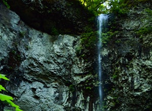
University Falls
4.00.61 mi / 138 ft gainThe 0.3 mile hike to University Falls seems longer than it is because you'll be stopping to take pictures every step of the way. No, you're not in an enchanted forest, you're in the Tillamook National Forest. The waterfall you're about to find, however, certainly is enchanting. From Portland, he...Read more -
Detroit, Oregon
Dome Rock via the Upper Trailhead
2.36 mi / 479 ft gainFrom Highway 22 at the Breitenbush River Bridge, in Detroit, turn north on to French Creek Rd. Drive up French Creek about 7.7 miles to the Upper TH #3379/3381 to Dome Rock and Tumble Lake. The trail can be found on the left side of the road and is easily seen after you pass it. It's best to pass...Read more -
Corvallis, Oregon
Vineyard Mountain Loop
3.36 mi / 505 ft gainVineyard Mountain Loop is a loop trail located near Corvallis, Oregon.Read more -
Corvallis, Oregon
Lewisburg Saddle Upper Horse Trail Loop
4.53.17 mi / 630 ft gainLewisburg Saddle Upper Horse Trail Loop is a loop trail in McDonald-Dunn Forest located near Adair Village, Oregon. The trail is dog, horse, and Mountain Bike friendly. If bringing your pup, please be sure to keep in on-leash with horses and other wildlife potentially on the trail. The loop sin...Read more -
Corvallis, Oregon
Dimple Hill Via Patterson Road 600
4.86 mi / 715 ft gainDimple Hill Via Patterson Road 600 is a loop trail where you may see local wildlife located near Corvallis, Oregon.Read more -
Corvallis, Oregon
Baker Creek Loop
9.42 mi / 1936 ft gainBaker Creek Loop is a loop trail that takes you by a river located near Adair Village, Oregon.Read more -
Corbett, Oregon
Latourell Falls Loop
4.72.02 mi / 820 ft gainLatourell Falls is a beautiful and unique waterfall in the Columbia River Gorge in Oregon. This amazing waterfall is just a few hundred yards from the road and parking lot. Once you park, there is a viewpoint for the falls that is straight ahead. The view from there isn't that great compared to ...Read more -
Clackamas County, Oregon
Tumala (Squaw) Mountain
4.74.51 mi / 1099 ft gainOn a clear day, this short, secluded hike offers breath-taking views of Mt. St. Helens, Mt. Rainier, Mt. Adams, Mt. Hood, and Mt. Jefferson, as well as of downtown Portland, Coast Range, and the Roaring River Wilderness. Begin the hike from the Twin Springs Trailhead and immediately take your fi...Read more -
Detroit, Oregon
Battle Ax Mountain
5.05.09 mi / 1594 ft gainWith no officially marked trailhead, this hike begins slightly west of Elk Lake in Marion County. Take Highway 22 to Detroit, OR. East of the bridge over Breitenbush River, turn onto (FR) Forest Road 46, with signs pointing to Breitenbush River. After 4.5 miles turn left at a sign for Elk Lake, a...Read more -
Ridgefield, Washington
Hike Whipple Creek
3 mi / 200 ft gainEach trail is well maintained and easy to navigate through the area. All trails are either packed dirt or gravel depending on which trail you’re on. The Douglas-firs, hemlocks, ferns, Oregon grape and many other native tree and plant varieties grow in the area that make the area abound with wild...Read more -
Corbett, Oregon
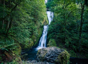
Bridal Veil Falls
4.10.54 mi / 144 ft gainThe trailhead for this short hike is right off of the Columbia River Highway just west of Multnomah Falls. You can't miss the parking lot for it; there is a sign for Bridal Veil and the parking lot is visible from the road. The hike is only 0.6 miles and has hardly any elevation gain (70 feet). ...Read more -
Marion County, Oregon
Gold Butte Fire Lookout
4.32.44 mi / 741 ft gainGold Butte Fire Lookout is a real gem in the Willamette National Forest. At 4618 feet elevation, the nearby Cascade Mountain views are nothing short of spectacular! At the summit, sits a L-4 Ground Structure Type Fire Lookout that was built in1934 to be used as a Fire Lookout. Additionally, durin...Read more

