West Linn, Oregon
Looking for the best photography in West Linn? We've got you covered with the top trails, trips, hiking, backpacking, camping and more around West Linn. The detailed guides, photos, and reviews are all submitted by the Outbound community.
Top Photography Spots in and near West Linn
-
Tillamook, Oregon
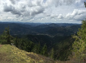
King's Mountain
4.54.47 mi / 2461 ft gainKing's Mountain may be one of the most consistent hikes in the greater Portland area gaining 2,500 vertical-feet over 2.5 miles almost evenly the entire time. The trail starts out at a marked trailhead just west of the Elk Mountain campground (stop there for water and more restrooms in summer &a...Read more -
Mount Hood, Oregon
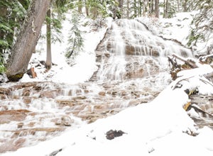
Snowshoe to Umbrella Falls
0.5 mi / 100 ft gainJust 66 miles east of Portland, and 35 miles south of Hood River the infamous Mt Hood breaks through the clouds for all to see. The highest peak of Oregon is the ultimate explorer's paradise offering something for every season... and in this case we mean snow shoeing and hiking!!Our trek begins ...Read more -
Detroit, Oregon
Dome Rock via the Upper Trailhead
2.36 mi / 479 ft gainFrom Highway 22 at the Breitenbush River Bridge, in Detroit, turn north on to French Creek Rd. Drive up French Creek about 7.7 miles to the Upper TH #3379/3381 to Dome Rock and Tumble Lake. The trail can be found on the left side of the road and is easily seen after you pass it. It's best to pass...Read more -
Cascade Locks, Oregon
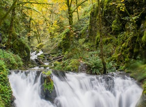
Emerald Falls
2.00.65 mi / 308 ft gainStart at the Wyreth Campground day-use area. If it's closed, park on the side of the road and walk in from the roadway. You'll see an intersection with a wooden bridge crossing the river. Take a few pictures and continue straight on the trail. You'll go about 1/2 mile on the trail until you rea...Read more -
Cascade Locks, Oregon
North Lake via Wyeth Trail
1.012.36 mi / 4505 ft gainPark at the Wyeth Trailhead parking lot and start hiking south along the old road bed. At the junction with the Gorge-Wyeth Trail, bear left and follow the Wyeth Trail as it goes beneath several power lines. Follow the trail as it goes back into the woods and crosses Harphan Creek. Continue on an...Read more -
Cascade Locks, Oregon
Gorton Creek Falls
4.71.01 mi / 361 ft gainThe Gorton Creek Falls hike provides an excellent challenge for those who are searching for a bit of adventure. The trailhead starts at the Wyeth Campground day use area, and continues straight at the intersection. The first 2/3rds of the trail are relatively easy to traverse (depsite being rough...Read more -
Mount Hood, Oregon
Kayak Laurance Lake
5.0This lake is found about 25 miles south of Hood River, Or. $5 for day use and now other passes are accepted, just keep that in mind. There are camping sites all over the lake as well, so if you are thinking of making a weekend out of it. It wasn't very crowded on a weekend during the summer so y...Read more -
Mount Hood, Oregon
Cooper Spur
5.06.87 mi / 3097 ft gainCooper Spur is located on the north east side of Mount Hood. This is the hike to do if you want to get up close and personal with the mountain. To get there you have to drive around 10 miles up a bumpy dirt road, once off the main road. Low-clearance vehicles can make it but high clearance vehic...Read more -
Hood River County, Oregon
Camp at Elk Meadows
4.54.5 mi / 1200 ft gainThis is a great trip for those who are new to backpacking. The hike to the quiet, peaceful Elk Meadows is relatively short, but the Newton Creek crossing presents enough difficulty to make this a fun and challenging adventure.Start at the Hood River Meadows Trailhead parking lot. Though there are...Read more -
Ariel, Washington
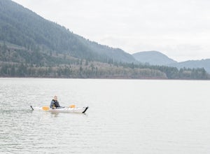
Kayak at Yale Lake
5.0Just 55 miles northeast of Portland lies a body of water so pure you have to see it to believe it...that's right, we're talking about Yale Lake. One of three lakes beneath Washington's ever rumbling Mount St Helens, Yale offers the outdoor lover just about everything they could ask for: calm wat...Read more -
Stevenson, Washington
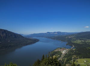
Wind Mountain
5.02.5 mi / 1037 ft gainOnce you reach the parking lot, walk down the hill and find the trail head, which is easily seen as it is marked. Begin your trek up the trail. The way up is pretty much all uphill, and is a great workout for the legs. You will walk through forests and over many rocks on the way up. As soon as y...Read more -
Mount Hood, Oregon
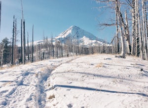
Snowshoe to the Tilly Jane A-Frame
5.02.7 mi / 1900 ft gainBuilt in the 1930's, the Tilly Jane A-Frame sits on the North side of Mount Hood at around 6,000ft. The cabin is very popular during winter months as it is located only 1,000ft below the tree line and offers beautiful snowshoeing, hiking, skiing and snowboarding opportunities, yet is also a popul...Read more -
Stevenson, Washington
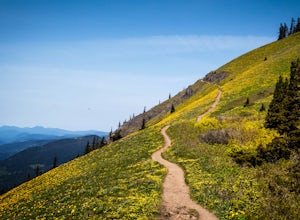
Dog Mountain via Dog Mountain Trail
4.56.53 mi / 2858 ft gainThe Dog Mountain trailhead is located halfway between Stevenson and Bingen. Look for the big signed parking area just after milepost 53 (Eastbound). The parking lot fills up quickly, especially during peak wildflower season, so if you can go on a weekday that would be better. There are 3 trails ...Read more -
Stevenson, Washington
Dog Mountain: The Steeper Route
4.55.55 mi / 2858 ft gainIf you know the Columbia Gorge, you know Dog Mountain. It's the ever-rewarding, incredibly challenging, insanely popular, calf-burning 6.5-mile hike that attracts hundreds of people every weekend, especially during May and June when the wildflowers are in full bloom. If you're like me and you h...Read more -
Carson, Washington
Falls Creek Falls
4.85.82 mi / 1512 ft gainThe trail to Falls Creek Falls is well maintained with a few short moderately steep areas. The trail hugs the creek for the first mile, and takes you through old growth trees for the second mile. Once the falls are in sight, make sure to stop and look up to see the top tier through the trees. It'...Read more -
Cascade Locks, Oregon
Mount Defiance
3.712.55 mi / 5167 ft gainThis hike starts at the Starvation Creek Rest Area. After parking, head west back along the shoulder of the freeway, where you’ll see a wooden sign stating “Mt. Defiance Trail.” Continue heading west along the abandoned Columbia River Highway. Keep going west as you pass the junction with the Sta...Read more

