Tidewater, Oregon
Top Spots in and near Tidewater
-
Polk County, Oregon
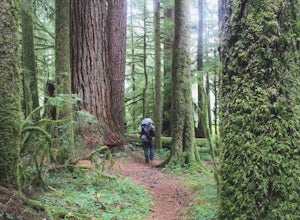
Walk the Valley of the Giants
5.0From the parking area, the Valley of the Giants trail crosses the Siletz River and passes a tranquil picnic spot before beginning a 1.3 miles loop trail through some of Oregon's oldest and largest Doug Fir trees. Many reach 500 years in age and heights exceeding 200 feet. In fall, vine maples exp...Read more -
Falls City, Oregon
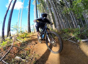
Ride Black Rock Mountain Bike Trails
5.010 mi / 2000 ft gainBlack Rock Mountain Bike area is the perfect place to hone your MTB skills and take your riding to the next level. Black Rock offers clearly marked single track trails riddled with wooden ramps, berms and dirt features. There are trails ranging from "green" to "double black diamond", ensuring the...Read more -
Lincoln City, Oregon
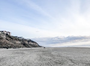
Explore the Oregon Coast at Wecoma Beach
3.0Wecoma Beach is a district of Lincoln City and the beach actually stretches along all of the districts in Lincoln City. This means you can access the beach from practically anywhere, but the beach by Wecoma offers a bit more solitude. The beach is dog-friendly, so take your four-legged-friend ou...Read more -
Lincoln City, Oregon
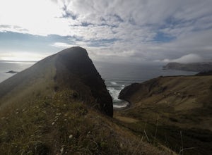
Hike to God's Thumb
4.02 mi / 800 ft gainFrom Road's End State Park, map your way to the end of NE Port Street and park on a pull off next to the described gate: on your right you'll see the gate with three skinny trees to the right of it. You'll want to park as close to this gate as possible, this will be in between some houses on a hi...Read more -
Otis, Oregon
Hike to Cascade Head
4.56.8 mi / 1200 ft gainCascade Head on the Oregon Coast sits a top a 270 acre preserve protected by the Nature Conservancy and is a National Scenic Research Area and a United Nations Biosphere Reserve. From the south trail head at Knight Park the trail winds through an old growth coastal forest before climbing 1200 ver...Read more -
Otis, Oregon
Hike Hart's Cove Trail
5.05 mi / 900 ft gainThe trail starts at the end of Forest Service Road 1861 which is closed January 1st through July 15th for wildlife conservation. This trail descends about 900 feet in elevation through a Sitka Spruce-Western Hemlock rain forest. You will cross two seasonal creeks and end at a prairie headland o...Read more -
Eugene, Oregon
Wild Iris Ridge Loop from Summit Sky Boulevard
5.01.58 mi / 220 ft gainWild Iris Ridge Loop from Summit Sky Boulevard is a loop trail where you may see beautiful wildflowers located near Eugene, Oregon.Read more -
Eugene, Oregon
Spencer Butte Loop
4.51.6 mi / 564 ft gainGetting There Searching Spencer Butte Trailhead Parking Lot on Google Maps will direct you to exactly where you need to go. From downtown Eugene/ UO you'll drive south on Willamette St. until you see an official park sign for Spencer Butte Park. Take a left on the gated road (will be locked duri...Read more

