Sunriver, Oregon
Top Spots in and near Sunriver
-
Bend, Oregon
Hike to Lucky Lake
5.02.5 mi / 405 ft gainLocated just 4.36 miles past the popular Elk Lake Day Use turnoff, the trailhead is on the right side of the highway, marked by a small 'trailhead' sign. The hike begins at the Senoj Lake Trailhead and climbs up to the lake for 1.26 miles. Once you reach the lake, you can choose to go left or rig...Read more -
Bend, Oregon
Sparks Lake Loop
5.01.41 mi / 49 ft gainSparks Lake is the perfect place to bring the whole family for a hike and to see the beauty of the Cascade Mountains reflecting on the water. This spot is slightly typicaly less crowded than nearby lakes and this trail tends to be less popular than other trails around Sparks Lake. Don't expect to...Read more -
Bend, Oregon
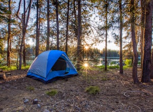
Camp Along the Shore at Sparks Lake
4.5Just a quick 26-mile drive from Bend you'll find Sparks Lake, where shallow water, amazing lakeside camping grounds, and the possibility of catching a glimpse of the Aurora Borealis make for some of the best weekend camping in Oregon.Pay for a site or park along the road before you come to the "C...Read more -
Bend, Oregon
Boat-In Camping at Sparks Lake
5.0Looking for the beauty and serenity of a backcountry campsite, but with the convenience of car camping? These 20+ secluded paddle-in campsites along the shoreline of Sparks Lake are just for you. Park your car, load up your watercraft of choice with all of your camping supplies, and paddle out to...Read more -
Bend, Oregon
Hike Tam McArthur Rim Trail
5.05.2 mi / 1500 ft gainThe Tam McArthur Rim Trail is a day hike in the Three Sisters Wilderness that will have you gaining about 1,500' of elevation for beautiful views of Three Creek Lake and the surrounding Three Sisters Mountains. On a clear day you can also catch a peak of Mt. Bachelor Ski Area. The trail is less ...Read more -
Bend, Oregon
Tam McArthur Rim, Green Lakes, Park Meadow Tie Loop
3.322.58 mi / 3675 ft gainThis loop trip around Broken Top is one of the premier backpacking loops in Oregon. The trail winds past numerous alpine lakes, including the popular Green Lakes area, and offers near-constant views of Broken Top, the Three Sisters, and Mount Bachelor. To top it all off, the clear skies typical o...Read more -
Bend, Oregon
Green Lakes Trail
4.79.19 mi / 1240 ft gainThis 8.5 mile roundtrip hike to Green Lakes basecamp gains elevation gradually as it meanders along beautiful Fall Creek with numerous small cascades. Depending on the season (expect significant snow on the trail through early-to-mid June) the stark contrast of the snow with creek is beautiful, t...Read more -
Deschutes County, Oregon
Hike to Moraine Lake Beneath South Sister
5.05 mi / 1476 ft gainThe lake is less than 3 miles from Devils Lake. Starting from the Trail head along Cascade Lakes Highway you gain 1,476 feet of elevation. You will follow the South Sisters Climbers trail, it is well traveled, and well marked. The majority of the elevation gain occurs in the first two miles, as y...Read more -
Deschutes County, Oregon
South Sister via Devil's Lake Trailhead
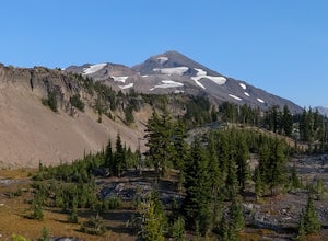
5.011.8 mi / 4900 ft gainNot only is South Sister a stunning image and visible from hundreds of miles throughout Central Oregon, but it is a great beginner climb to introduce hikers to high altitude mountain life. As long as you’re mentally prepared, have good physical endurance, and pack right, there’s no reason why thi...Read more -
Deschutes County, Oregon
Camp and Fish at Crane Prairie Reservoir
3.0Crane Prairie Reservoir is one of the top-producing rainbow trout fisheries in Central Oregon. The record rainbow to date weighed just over 19 pounds, so there is a good chance of catching some lunkers while visiting here.The lake is located on the Deschutes National Forest, approximately 30 mile...Read more -
Deschutes County, Oregon
Chush Falls
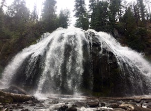
3.35.75 mi / 823 ft gainJust outside of Sisters, Oregon, near Bend, is a beautiful hike to a picturesque waterfall. It is rarely crowded thanks (and no thanks) to the Pole Creek Fire, which ravaged the area several years ago. Because of the fire, the hike and landscape have been drastically altered. What used to be a 2-...Read more -
Sisters, Oregon
Mountain Bike the Peterson Ridge Trail
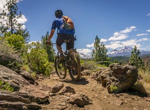
1.016.1 mi / 1167 ft gainBend, Oregon has a deserved reputation as one of the top mountain bike destinations in the country. Unless you are from the area, you might not be familiar with nearby Sisters. Sisters is a sleepy western-themed town of 3,000 better known for it's annual rodeo and quilt festival but the locals ha...Read more -
Sisters, Oregon
The Sisters to Smith Rock Ride
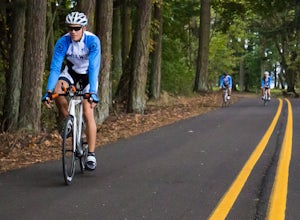
5.036.6 mi / 597 ft gainStarting in the "Old West" town of Sisters, Oregon and ending at Smith Rock State Park outside the small town of Terrebonne, this route takes riders past a variety of historical sites, shows the gentle curves of the Deschutes River and frames spectacular views of the Cascade Mountains, and ends w...Read more -
Crescent, Oregon
Fly Fish on Davis Lake
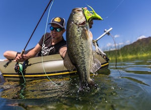
About 50 miles southwest of Bend, Davis Lake is one of the major fishing destinations among the cluster of lakes in central Oregon. The lake was once known as a go-to spot for really big rainbow trout, but largemouth bass were illegally introduced to the Davis Lake in the 90s and they have now ta...Read more -
Lane County, Oregon
Kayak Camping at Waldo Lake
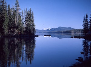
5.0Waldo Lake is at the top of most Oregon paddler’s lists for a late-summertime adventure. Not only is the lake perfectly set up for days of exploration, but the visibility of the water is staggering…and record setting. It’s been measured over 150 feet. It’s important to note that the future sereni...Read more -
Lane County, United States
Backpack the Obsidian Area
4.46 mi / 1800 ft gainThe Obsidian area is at least six miles from the closest trail head and 1800 feet of elevation gain. The best way to see the area is to plan a multi-day backpacking adventure. It is limited entry which is strictly enforced by the Forest Service. Only 30 day hikers and 40 overnight hikers are al...Read more

