Scotts Mills, Oregon
Looking for the best hiking in Scotts Mills? We've got you covered with the top trails, trips, hiking, backpacking, camping and more around Scotts Mills. The detailed guides, photos, and reviews are all submitted by the Outbound community.
Top Hiking Spots in and near Scotts Mills
-
Clackamas County, Oregon
Bike the Timothy Lake Trail
4.515 miLocated about 2 hours outside of Portland, Timothy lake is a great home base to adventure from. It has many campgrounds, lots of lake access and great loop around the lake that is open to both hiking and Mt biking. While the hiking loop is 13 miles, the Mt. bike loop is 15 since you need to make ...Read more -
Corbett, Oregon
Bridal Veil Falls
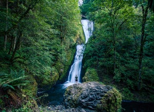
4.10.54 mi / 144 ft gainThe trailhead for this short hike is right off of the Columbia River Highway just west of Multnomah Falls. You can't miss the parking lot for it; there is a sign for Bridal Veil and the parking lot is visible from the road. The hike is only 0.6 miles and has hardly any elevation gain (70 feet). ...Read more -
Linn County, Oregon
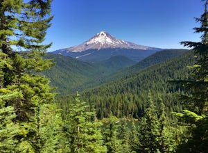
Coffin Mountain Fire Lookout
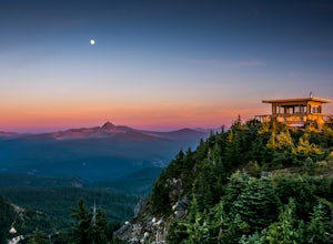
5.02.67 mi / 873 ft gainCoffin Mountain Fire Lookout is a beautiful day hike that takes you to its summit at 5771 feet elevation, covering roughly 1070 feet elevation gain. To get to the Coffin Mt. trailhead from Detroit OR, travel east on Highway 22 for approximately 19.5 miles to Forest Road 11 (Straight Creek Road)....Read more -
Bridal Veil, Oregon
Angel's Rest
4.34.45 mi / 1568 ft gainThe Columbia River Gorge is absolutely full of incredible hikes - that said, this is one of the best and requires less time and energy than some of the others. Starting at a paved parking lot right off the Historic Columbia River Gorge Highway (note: it's a very popular trail so arrive early or ...Read more -
Bridal Veil, Oregon
Devil's Rest-Wahkeena Falls Loop
4.09.82 mi / 2779 ft gainThis loop takes advantage of the western Columbia River Gorge's vast network of trails - hidden behind the roadside waterfalls - to allow you to visit several popular attractions without fighting traffic along the historic highway. All told, the loop hits 3 named waterfalls (Coopey Falls, Fairy F...Read more -
Corbett, Oregon
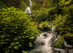
Hike to Upper Bridal Veil Falls
5.00.5 miAt the parking lot for Angel's Rest, turn left uphill on to Palmer Mill Road. Drive for about a mile, and park right past a tributary stream/small waterfall (pictured above) on your left that flows through a small pipe under the road. You will see a small space to park on the right. Park here and...Read more -
Corvallis, Oregon
Hike Woodland Meadow Park Loop
0.5 mi / 59 ft gainThis trail is perfect for jogging or walking, with your pup! The loop is located near a popular dog park in Corvallis, and so can get crowded in the evenings after work. There is ample room for you dog and you to get out and enjoy nature.Read more -
Corvallis, Oregon
McCulloch Peak Loop
5.07.17 mi / 1719 ft gainMcCulloch Peak Loop is a loop trail where you may see local wildlife located near Corvallis, Oregon.Read more -
Washougal, Washington
Cape Horn Trail
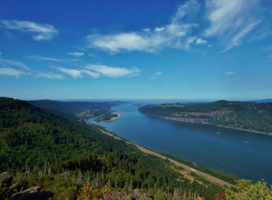
4.36.76 mi / 1795 ft gainThe Cape Horn Trail is great for those who are short on time, but still want to get outside for something close by with great views. Located just 35 min east of Portland, the Cape Horn Trail offers a few different possibilities for you to hike. The whole loop (lower section is closed from Feb 1s...Read more -
Corbett, Oregon
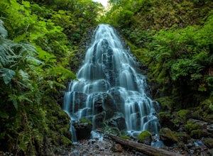
Fairy Falls
4.82.02 mi / 1293 ft gainFairy Falls sits in the heart of the Columbia River Gorge, not much more than a mile from the Wahkeena Trailhead. The parking lot is right off the Old Columbia River Highway and will be packed with cars in the summer. Head up the trail towards Wahkeena Falls, which is not far up the hill. This f...Read more -
Government Camp, Oregon
Veda Lake Trail
4.02.5 mi / 748 ft gainThis hike starts at the Fir Tree Trailhead and is an out and back 2.8 mile round trip. It's short, but there's 660 feet of elevation gain. To start, you climb steeply then it's an easy hike to a beautiful viewpoint overlooking the lake. The trail descends via switchbacks down to the lake for the ...Read more -
Corbett, Oregon
Wahkeena Falls
4.00.48 mi / 427 ft gainThis Waterfall is located along the Colombia River Gorge and is surrounded by many other, much more trafficked waterfalls so it gets a lot fewer visitors. This is a beautiful spot to relax at, take photos, and get away from some of the crowds. The bottom of the falls end right at the parking lot ...Read more -
Detroit, Oregon
Russell Lake via Whitewater Creek Trailhead
4.811.4 mi / 1926 ft gainThis hike begins 7.5 miles down Whitewater Road at the Whitewater Trailhead, about 10 miles east of Detroit Lake. The road is bumpy, but can be navigated at slow speeds, even without four-wheel drive. Make sure to fill out a wilderness pass once you arrive at the trailhead. The trail is very wel...Read more -
National Forest Development Road 4220, Oregon
Hike to Gifford Lake
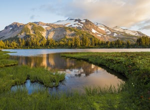
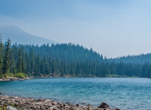
3 mi / 500 ft gainSet out at the Lower Lake trailhead along trail #717. After only half a mile the trail opens up to Lower Lake, with views of Olallie Butte. The trail winds around the north east side of the lake and you come to a junctions with trail #706. From here take the left onto #706 and continue about .6 o...Read more -
National Forest Development Road 4220, Oregon
Olallie Lake North Basin Loop
12.05 mi / 2021 ft gainBegin at the Lower Lake Campground and take the Lower Lake trailhead. The best direction to hike is counter clockwise, however you can do either. Continue along Trail #717 and very shortly you come out to Lower Lake featuring Mt. Jefferson as the backdrop. From here keep hiking and you reach yo...Read more -
Cascadia, Oregon
Hike to Soda Creek Falls
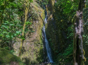
5.01.5 mi / 370 ft gainSoda Creek Falls flows 150 feet down a curvy basalt rock groove at Cascadia State Park. The trail follows Soda Creek through a lush Oregon rain forest. The site was a former hotel and health spa with the mineral water from the creek as the main attraction. The park has a small campground, and pic...Read more

