Rockaway Beach, Oregon
Top Spots in and near Rockaway Beach
-
Beaver, Oregon
Hebo Lake to South Lake via Pioneer Indian Trail
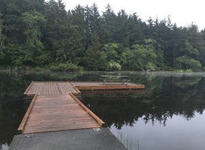
14.07 mi / 2697 ft gainHebo Lake to South Lake via Pioneer Indian Trail is an out-and-back trail that takes you by a lake located near Beaver, Oregon.Read more -
Cloverdale, Oregon
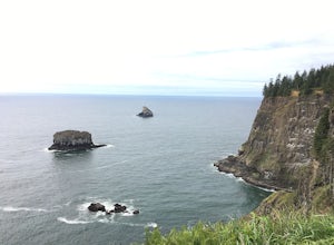
Cape Kiwanda State Natural Area
4.01.04 mi / 171 ft gainCape Kiwanda State Natural Area is a loop trail that takes you past scenic surroundings located near Cloverdale, Oregon.Read more -
Cloverdale, Oregon
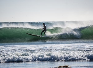
Surf Pacific City
4.5From Pacific City, drive into the Pelican Brew Pub parking lot and right out on the beach to park (4x4 recommended, but not required). Suit up, and head out into the water. Sandy, cold water will greet you with occasional perfect swells to catch back to shore! Perfect for surfing, boogie boarding...Read more -
Seaside, Oregon
Del Rey Beach
5.0Less than 2 hours from Portland, set the GPS to Gearhart, and drive out onto Del Ray Beach for the sunset with your significant other. This is the only beach in the state of Oregon that you are allowed to drive on. If you have four wheel drive, take a little drive through the incoming waves and ...Read more -
Beaver, Oregon
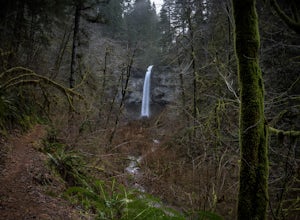
Hike to Niagara Falls, OR
4.04 mi / 800 ft gainGetting There Get onto Highway 101. Between Tillamook and Lincoln City at the town of Beaver, turn east near mile marker 80 onto a paved road toward upper Nestucca River. Follow this scenic road 6.7 miles to the town of Blaine. Stay to the right and drive another 4.8 miles; between mile markers 1...Read more -
Beaver, Oregon
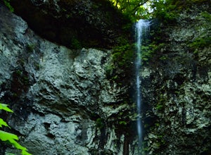
Hike to Pheasant Creek Falls
4.04 mi / 800 ft gainHike: The hike to Pheasant Creek Falls is just short continuation of nearby Niagara Falls. After reaching Niagara Falls, continue on the trail for about another 300 feet and you'll reach the more impressive, Pheasant Creek Falls.For more detailed information including a trail map and directions ...Read more -
Astoria, Oregon
Youngs River Falls
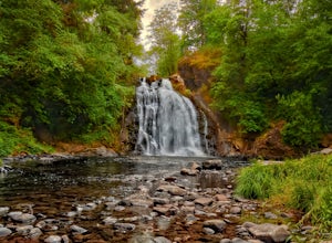
4.50.33 mi / 59 ft gainYoungs River Falls is a scenic 50-foot waterfall on Youngs River, about 15 minutes outside of Astoria. The falls are somewhat unique in that the base is located only about 10 feet above sea level From Astoria. The falls have been featured in several movies, most notably Free Willy 2 and Teenage M...Read more -
Warrenton, Oregon
Fort Clatsop
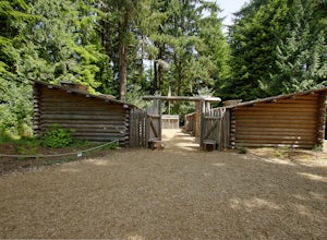
4.0Tucked in a forest within a few minutes drive of Astoria and along the Columbia River, Lewis and Clark National Historic Park is small in size but rich in history. If you're a wanderluster who appreciates learning about the early explorers that came before you this is a can't miss spot. My own...Read more -
Astoria, Oregon
Airport Dike Trail
3.04.11 mi / 79 ft gainParking for this hike can be found at either end of the trail. It starts at the west end of the Lewis & Clark Bridge from a small access road that is used as a parking lot. From here it is a flat walk along an old grassy road that is well maintained. If you forgot to bring along bags to pi...Read more -
Otis, Oregon
Hike Hart's Cove Trail
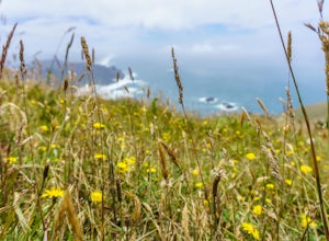
5.05 mi / 900 ft gainThe trail starts at the end of Forest Service Road 1861 which is closed January 1st through July 15th for wildlife conservation. This trail descends about 900 feet in elevation through a Sitka Spruce-Western Hemlock rain forest. You will cross two seasonal creeks and end at a prairie headland o...Read more -
Warrenton, Oregon
Coffenbury Lake Trail
4.02.55 mi / 43 ft gainCoffenbury Lake Trail is a loop trail that takes you by a lake located near Warrenton, Oregon.Read more -
Warrenton, Oregon
Peter Iredale Shipwreck, Fort Stevens SP
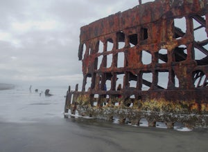
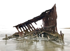
4.50.2 mi / 0 ft gainAt the northwestern-most point of Oregon sits Fort Stevens State Park. Located 3 ½ hrs from Seattle and 2 hrs from Portland, the park sits closest to the city of Astoria. The park itself has over 4300 acres to explore, with day use and camping open year round. However, the most well-known and mos...Read more -
Otis, Oregon
Hike to Cascade Head
4.56.8 mi / 1200 ft gainCascade Head on the Oregon Coast sits a top a 270 acre preserve protected by the Nature Conservancy and is a National Scenic Research Area and a United Nations Biosphere Reserve. From the south trail head at Knight Park the trail winds through an old growth coastal forest before climbing 1200 ver...Read more -
Warrenton, Oregon
Fort Stevens State Park Trails
5.09.15 mi / 200 ft gainFort Stevens State Park Trails is a loop trail where you may see local wildlife located near Hammond, Oregon.Read more -
Astoria, Oregon
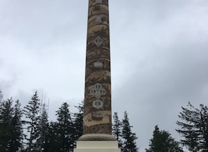
Cathedral Tree to Astoria Column
4.01.67 mi / 276 ft gainCathedral Tree to Astoria Column is an out-and-back trail where you may see beautiful wildflowers located near Astoria, Oregon.Read more -
McMinnville, Oregon
Miller Woods
5.03.63 mi / 735 ft gainMiller Woods Trail is a loop trail where you may see beautiful wildflowers located near McMinnville, Oregon.Read more


