Polk County, Oregon
Looking for the best hiking in Polk County? We've got you covered with the top trails, trips, hiking, backpacking, camping and more around Polk County. The detailed guides, photos, and reviews are all submitted by the Outbound community.
Top Hiking Spots in and near Polk County
-
Stayton, Oregon
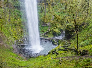
Shellburg Falls
3.23.7 mi / 520 ft gainThis hike is currently closed due to fire damage. Please check the Oregon.gov website or the call the Oregon Department of Forestry (503-859-4344) for updates. The hike, including the initial 1.25 mile gravel road to the trailhead, is easy to complete within 1-2 hours and only requires a modera...Read more -
Oceanside, Oregon
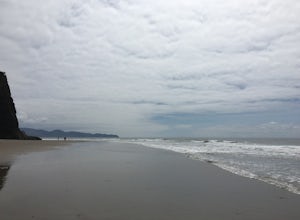
Tunnel Beach
5.00.47 mi / 75 ft gainThe main beach is located adjacent to Oceanside Beach State Park, which can be accessed via Cape Meares Loop/Netarts Oceanside Hwy. Once you arrive at the park, head down towards the beach and start walking North. You'll notice a little hole-in-the-wall past a small group of rocks which you'll h...Read more -
Oceanside, Oregon
Oceanside Beach Trail
4.00.86 mi / 144 ft gainOceanside Beach Trail is an out-and-back trail that provides a good opportunity to view wildlife located near Tillamook, Oregon.Read more -
Tillamook, Oregon
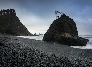
Hike along Short Beach, Oregon
5.00.25 mi / 200 ft gainHike: The trail is basically a handmade wooden staircase that takes you all the way down to the beach, so once you locate it, just keep following the stairs all the way down until you've reached the beach.Directions: Drive North along Cape Meares Loop Rd just past Oceanside until you reach the po...Read more -
Tillamook, Oregon
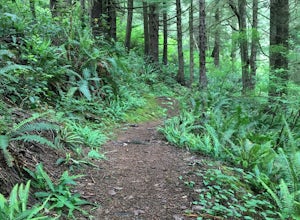
Big Spruce Trail
5.00.29 mi / 3 ft gainBig Spruce Trail is an out-and-back trail where you may see beautiful wildflowers located near Tillamook, Oregon.Read more -
Scotts Mills, Oregon
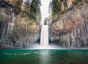
Abiqua Falls
4.90.69 mi / 115 ft gainThis trail is unmarked and a little rough and rugged. The land is privately owned by Mount Angel Abbey, but they don't appear to have problems with courteous hikers. Walking out of the parking area back up the road in the direction you came from, you’ll pass one dirt trail right at the ending of ...Read more -
Tillamook, Oregon
King's Mountain
4.54.47 mi / 2461 ft gainKing's Mountain may be one of the most consistent hikes in the greater Portland area gaining 2,500 vertical-feet over 2.5 miles almost evenly the entire time. The trail starts out at a marked trailhead just west of the Elk Mountain campground (stop there for water and more restrooms in summer &a...Read more -
Tillamook, Oregon
Explore Bayocean Peninsula Park
5.08 mi / 100 ft gainLocated just west of Tillamook on the way to Cape Meares is an expansive forested park that juts out into Tillamook Bay. The main "trail" is an old unpaved narrow road called Bayocean Dike Road that stretches 4 miles down to the point. It's perfect for a long run, leisurely hike or mountain bikin...Read more -
Gaston, Oregon
University Falls
4.00.61 mi / 138 ft gainThe 0.3 mile hike to University Falls seems longer than it is because you'll be stopping to take pictures every step of the way. No, you're not in an enchanted forest, you're in the Tillamook National Forest. The waterfall you're about to find, however, certainly is enchanting. From Portland, he...Read more -
Tillamook, Oregon
Wilson River Trail
3.018.58 mi / 4879 ft gainThis long trail provides hikers with great views of the corridor in the Coast Range. As the trail follows public land for the most part, there are a couple sections with steady elevation gains to avoid private land: near Lees Camp and Ryan Creek. Although the trail receives some of the most rain...Read more -
Scotts Mills, Oregon
Upper Butte Creek Falls
4.00.73 mi / 308 ft gainFrom Scott Mills Follow Crooked Finger RD NE for 13.3 Miles to the Upper Butte Creek Trailhead. The last 2-3 miles or so is gravel road with some potholes but most cars shouldn't have a problem. The path down to the falls starts near the bathrooms. A short .3 mile walk on a few switchbacks and...Read more -
Molalla, Oregon
Huckleberry, Mark's and Looney's Gate Loop
4.03.72 mi / 702 ft gainHuckleberry, Mark's and Looney's Gate Loop is a loop trail that takes you through a nice forest located near Molalla, Oregon.Read more

