Oregon
Looking for the best photography in Oregon? We've got you covered with the top trails, trips, hiking, backpacking, camping and more around Oregon. The detailed guides, photos, and reviews are all submitted by the Outbound community.
Top Photography Spots in and near Oregon
-
Marion Forks, Oregon
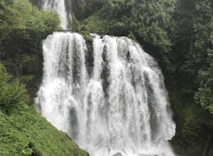
Marion Falls
4.14.12 mi / 968 ft gainThis hike explores an off-trail trip to one of my favorite waterfalls in Oregon. To kick off this hike, you'll start at the Marion Lake trailhead. The road to this trailhead is Marion Creek Road at mile point 66.5 off Highway 22. It's 4.3 miles until you reach the parking lot and start your journ...Read more -
Detroit, Oregon
Battle Ax Mountain
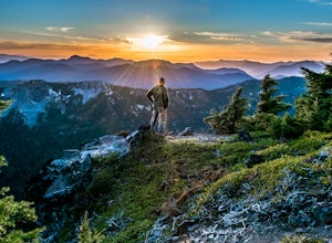
5.05.09 mi / 1594 ft gainWith no officially marked trailhead, this hike begins slightly west of Elk Lake in Marion County. Take Highway 22 to Detroit, OR. East of the bridge over Breitenbush River, turn onto (FR) Forest Road 46, with signs pointing to Breitenbush River. After 4.5 miles turn left at a sign for Elk Lake, a...Read more -
Cascade Locks, Oregon
Horsetail Falls Loop
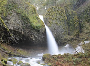
4.52.56 mi / 610 ft gainStart off on this loop from Horsetail Falls Trailhead. It never hurts to start a hike with a view of Horsetail Falls. This 2.5 mile loop will start you off on Gorge trail #400 up Horsetail Falls Trail. You’ll encounter a few switchbacks before the trail flattens out and leads you into the valley ...Read more -
Portland, Oregon
Mount Tabor Park
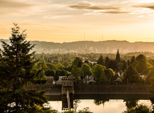
4.3Sitting 400 feet above the city with views of Mt. Hood and Portland doesn't sound to bad right?? Mount Tabor is located in Southeast Portland and is a once active volcano. There are 196 acres of park for you to explore. In order to photograph the best pictures of Mt. Hood I highly suggest gettin...Read more -
Douglas County, Oregon
Umpqua Hot Springs
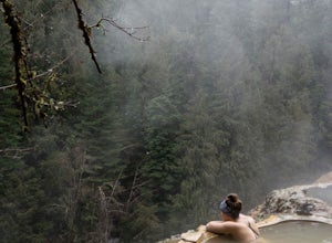
3.70.52 mi / 108 ft gainWhen you arrive at the hot springs you'll see a bathroom and large dumpster in a small gravel parking lot. From the parking lot you'll see a bridge which leads to the trail up to the springs. Its a 0.25 mile walk up to seven different pools, sitting 150ft. above the North Umpqua River. All the ho...Read more -
Cloverdale, Oregon
Explore Cape Kiwanda
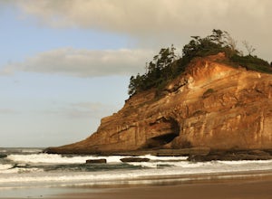
4.8Cape Kiwanda is part of the Three Capes Scenic Route. It offers sea stack rock formations, beautiful beaches, sand stone cliffs, and if you are lucky enough, amazing wildlife. It is the home of the Pacific Dory Fleet.If you are early enough, you can catch the fisherman coming and going in the mys...Read more -
Detroit, Oregon
Boca Cave & Triangulation Peak
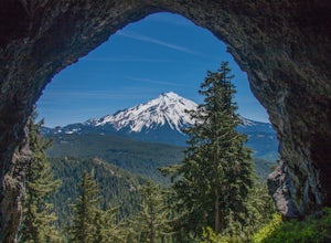
4.04.75 mi / 1053 ft gainTriangulation Peak, Spire Rock and Boca Cave TH #3372 The trail starts on level ground where you travel east along the top of the ridge. There are multiple trees that have fallen across the trail making the hike quite adventurous. Some trees you'll go over and some you will need to go under. Dep...Read more -
Brookings, Oregon
Explore Natural Bridges at Samuel H. Boardman State Scenic Corridor
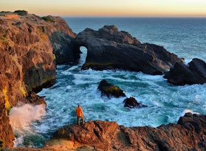
4.86 mi / 0 ft gainThe Samuel H. Boardman Scenic Corridor is 12 miles of rugged, steep coastline with many hidden & secluded beaches and coves, and the Natural Bridges section is one of the most iconic (and most photographed) along the entire Corridor.There are several hikes above and around the natural bridges...Read more -
Paisley, Oregon
Soak in the Summer Lake Hot Springs
5.0From Bend drive 32 miles south on Highway 97, through La Pine to Highway 31 (2 miles south of La Pine). Turn left (east) on Highway 31 and continue for 92 miles. Summer Lake Hot Springs is on the left side of the road at mile marker 92.This is a very rustic area, with old barns and farm equipment...Read more -
Otis, Oregon
Hike to Drift Creek Falls
4.93.5 mi / 490 ft gainThis hike down to Drift Creek Falls is more of an easy stroll. But before you reach the trail head, if coming from the north, make sure to stop at Oregon's oldest covered bridge off Bear Creek Rd.The trail head to Drift Creek Falls will be farther south on Bear Creek Rd where you will branch off ...Read more -
Rhododendron, Oregon
Ramona Falls Loop
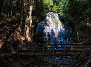
4.77.17 mi / 1148 ft gainI'd been wanting to do this hike for quite a while, and when I found work taking me to Portland, I made my return trip through the Mt. Hood wilderness area. I started this Hike from the Ramona Falls trailhead, which is the most popular starting point. The easiest way to find the trailhead, is t...Read more -
Terrebonne, Oregon
Hike to Steelhead Falls
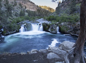
4.81 mi / 120 ft gainFollowing along the Dechutes river for half a mile you will see where the river progressively gets more aggressive. On both sides of the trail you will see beautiful mountain inclines and jagged cliffs. If your lucky you might just see a bald eagle soaring high above! Along with Steel Head being ...Read more -
Government Camp, Oregon
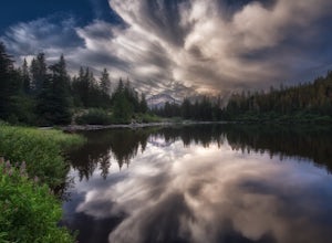
Mirror Lake Trail
4.54.09 mi / 810 ft gainI was out doing the Ramona Falls hike, and I decided that I needed to find a lake that provided me with a great view of Mt Hood. My first stop was Trillium Lake, but with that being a “drive up” lake, there were tons of people. Tons of people only means one thing…turbulent waters! As I was dr...Read more -
Government Camp, Oregon
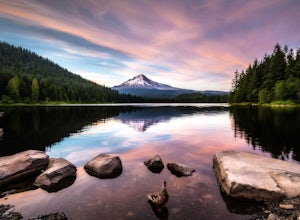
Trillium Lake
4.91.89 mi / 108 ft gainTrillium Lake is a popular camp spot at the base of Mount Hood. It's known for it's scenery, abundant recreational activities, and is family friendly. Boating, swimming and fishing are quite popular on the 63 acre lake. There is a small boat ramp within the campground and a larger ramp available ...Read more -
Bend, Oregon
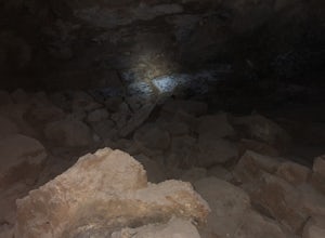
Boyd Cave
5.00.69 mi / 66 ft gainLocated 20 miles southeast of Bend, Boyd Cave is a well preserved lava tube stretching close to a mile. To get there, take Highway 97 South through Bend and turn left on China Hat Road. Go straight for exactly 9 miles. Turn left at mile 9 onto the trail at FS242. You will know it has been 9 miles...Read more -
Silverton, Oregon
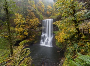
Camp in Silver Falls State Park
4.68.7 mi / 1300 ft gainIf you're thinking of hiking the Trail of Ten Falls Loop and staying overnight, there are 42 tent campsites (available from April – Oct) as well as 14 rustic cabins. With multiple beds, heat, electricity, a covered porch, and a small fridge, they provide the perfect respite after a long day of ex...Read more

