Philomath, Oregon
Looking for the best photography in Philomath? We've got you covered with the top trails, trips, hiking, backpacking, camping and more around Philomath. The detailed guides, photos, and reviews are all submitted by the Outbound community.
Top Photography Spots in and near Philomath
-
Lincoln City, Oregon
Relax at Siletz Bay
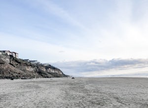
3 mi / 0 ft gainThe Siletz Bay region of Lincoln City offers a wide variety of activities. With miles of public beach, there is a lot to see and explore. Despite being the "quiet" part of town, getting here and finding parking will be your biggest issue this whole trip. Parking although free, is very limited, s...Read more -
Drake Crossing, Oregon
Trail of Ten Falls Loop
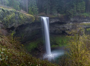
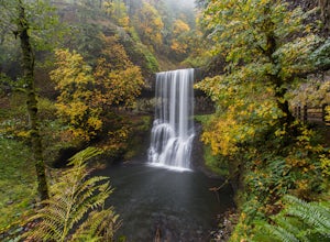
4.77.16 mi / 1178 ft gainThe unique feature of South Falls, Lower South Falls, and Middle North Falls are the paths that pass behind the falls providing an amazing visual and auditory experience; however, be sure to have a good bag for your equipment to avoid water damage and a decent jacket (preferably water-resistant)....Read more -
Silverton, Oregon
Camp in Silver Falls State Park
4.68.7 mi / 1300 ft gainIf you're thinking of hiking the Trail of Ten Falls Loop and staying overnight, there are 42 tent campsites (available from April – Oct) as well as 14 rustic cabins. With multiple beds, heat, electricity, a covered porch, and a small fridge, they provide the perfect respite after a long day of ex...Read more -
Lincoln City, Oregon
Explore the Oregon Coast at Wecoma Beach
3.0Wecoma Beach is a district of Lincoln City and the beach actually stretches along all of the districts in Lincoln City. This means you can access the beach from practically anywhere, but the beach by Wecoma offers a bit more solitude. The beach is dog-friendly, so take your four-legged-friend ou...Read more -
Cascadia, Oregon
Hike to Soda Creek Falls
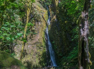
5.01.5 mi / 370 ft gainSoda Creek Falls flows 150 feet down a curvy basalt rock groove at Cascadia State Park. The trail follows Soda Creek through a lush Oregon rain forest. The site was a former hotel and health spa with the mineral water from the creek as the main attraction. The park has a small campground, and pic...Read more -
Lincoln City, Oregon
Hike to God's Thumb
4.02 mi / 800 ft gainFrom Road's End State Park, map your way to the end of NE Port Street and park on a pull off next to the described gate: on your right you'll see the gate with three skinny trees to the right of it. You'll want to park as close to this gate as possible, this will be in between some houses on a hi...Read more -
Otis, Oregon
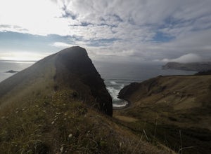
Hike to Cascade Head
4.56.8 mi / 1200 ft gainCascade Head on the Oregon Coast sits a top a 270 acre preserve protected by the Nature Conservancy and is a National Scenic Research Area and a United Nations Biosphere Reserve. From the south trail head at Knight Park the trail winds through an old growth coastal forest before climbing 1200 ver...Read more -
Florence, Oregon
Explore Heceta Head Lighthouse State Scenic Viewpoint
5.01 mi / 150 ft gainAt the mouth of Cape Creek sits a beautiful cove with one of the best views in Oregon. Above the sandy beach and sea stacks, rises the Heceta Head Lighthouse, a 100-year-old+ structure that's been laboriously restored and kept in working condition. At night, this quiet piece of the Oregon coast g...Read more -
Otis, Oregon
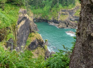
Hike Hart's Cove Trail
5.05 mi / 900 ft gainThe trail starts at the end of Forest Service Road 1861 which is closed January 1st through July 15th for wildlife conservation. This trail descends about 900 feet in elevation through a Sitka Spruce-Western Hemlock rain forest. You will cross two seasonal creeks and end at a prairie headland o...Read more -
Scotts Mills, Oregon
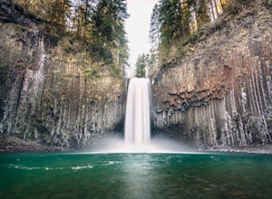
Abiqua Falls
4.90.69 mi / 115 ft gainThis trail is unmarked and a little rough and rugged. The land is privately owned by Mount Angel Abbey, but they don't appear to have problems with courteous hikers. Walking out of the parking area back up the road in the direction you came from, you’ll pass one dirt trail right at the ending of ...Read more -
Mapleton, Oregon
Hike to Sweet Creek Waterfall
4.82.2 mi / 100 ft gainMake sure you add this hidden gem to your waterfall chasing plans on your road trip to Oregon. This underrated Oregon waterfall is the perfect hike for the entire family. The trail offers four different falls from 10-30 feet high. The trail slowly climbs 2.2 miles through a beautiful thick forest...Read more -
Beaver, Oregon
Hike to Pheasant Creek Falls
4.04 mi / 800 ft gainHike: The hike to Pheasant Creek Falls is just short continuation of nearby Niagara Falls. After reaching Niagara Falls, continue on the trail for about another 300 feet and you'll reach the more impressive, Pheasant Creek Falls.For more detailed information including a trail map and directions ...Read more -
McMinnville, Oregon
Hike the Red Trail in Miller Woods
4.04 mi / 400 ft gainLocated three miles west of McMinnville and available for public hiking and activities, Miller Woods is owned and operated by Yamhill SWCD. You may choose different trails to take.From the parking lot the trails are marked by colors to go on the 4.0 mile loop go to the meadow and follow the red m...Read more -
Scotts Mills, Oregon
Upper Butte Creek Falls
4.00.73 mi / 308 ft gainFrom Scott Mills Follow Crooked Finger RD NE for 13.3 Miles to the Upper Butte Creek Trailhead. The last 2-3 miles or so is gravel road with some potholes but most cars shouldn't have a problem. The path down to the falls starts near the bathrooms. A short .3 mile walk on a few switchbacks and...Read more


