Mount Hood, Oregon
Looking for the best photography in Mount Hood? We've got you covered with the top trails, trips, hiking, backpacking, camping and more around Mount Hood. The detailed guides, photos, and reviews are all submitted by the Outbound community.
Top Photography Spots in and near Mount Hood
-
Cascade Locks, Oregon
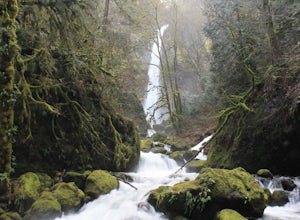
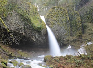
Elowah Falls
4.81.36 mi / 512 ft gainMultnomah Falls, which is about 5 miles from Elowah [along the Historic Columbia River Highway] takes a large portion of the crowd due to its visibility from the highway. With that said, you may get a much more deserted Elowah Falls if you decide to take the short but steep 15-minute hike to it...Read more -
Cascade Locks, Oregon
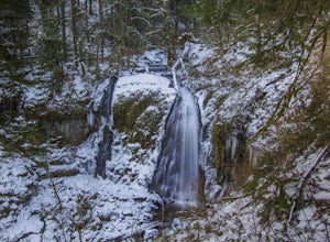
Upper McCord Creek Falls
4.71.98 mi / 617 ft gainStarting at the John B Yeon Trailhead parking lot, begin to walk into the forest. After a little more than a quarter mile, you will see a fork in the road, with one way leading to Elowah Falls, and the other way leading to Upper McCord Creek Falls. Take the trail leading to Upper McCord Creek. Th...Read more -
Stevenson, Washington
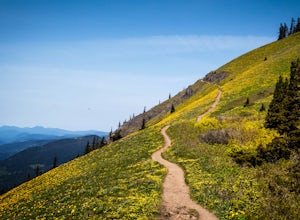
Dog Mountain via Dog Mountain Trail
4.56.53 mi / 2858 ft gainThe Dog Mountain trailhead is located halfway between Stevenson and Bingen. Look for the big signed parking area just after milepost 53 (Eastbound). The parking lot fills up quickly, especially during peak wildflower season, so if you can go on a weekday that would be better. There are 3 trails ...Read more -
Stevenson, Washington
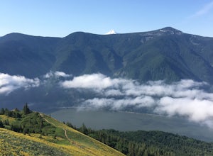
Dog Mountain: The Steeper Route
4.55.55 mi / 2858 ft gainIf you know the Columbia Gorge, you know Dog Mountain. It's the ever-rewarding, incredibly challenging, insanely popular, calf-burning 6.5-mile hike that attracts hundreds of people every weekend, especially during May and June when the wildflowers are in full bloom. If you're like me and you h...Read more -
Cascade Locks, Oregon
Indian Point via Herman Creek Trailhead
5.08.08 mi / 3658 ft gainPark at the Herman Creek Trailhead in Cascade Locks 2 miles from the exit. Remember to bring your Northwest Forest pass or a $5 payment to park. Start ascending on the Herman Creek trail a little over a mile until you hit a three-way junction for Gorton Creek Trail #408, Trail #400, and Herman ...Read more -
Cascade Locks, Oregon
Explore Government Cove
4.7From downtown Portland follow I-84 East for about 50 miles until you reach mile marker 51. Get back on the highway but Westbound until you reach mile marker 47 pull off and take a right over the train tracks and you're there.Beautiful scenery all around and if you get there early enough, you can...Read more -
North Bonneville, Washington
Table Mountain via Aldrich Butte Trailhead
4.716 mi / 3350 ft gainHike up into the forest (take the right path, not the one going left), and follow it all the way until you get to "Carpenter Lake" (which always seems to be just an empty, marshy field). Keep going and do not take the right path at the first Y split off. Instead, stay left, until you come to anot...Read more -
Cascade Locks, Oregon
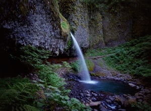
Ponytail Falls
4.60.85 mi / 463 ft gainPonytail Falls is an easy 0.8 mile hike located in the gorge that begins at Horsetail Falls. After hiking up mild switchbacks, continue to your right at the first trailhead intersection. The path levels out before coming around the mountain and opening up to the waterfall. This is the easiest wa...Read more -
Cascade Locks, Oregon
Horsetail Falls Loop
4.52.56 mi / 610 ft gainStart off on this loop from Horsetail Falls Trailhead. It never hurts to start a hike with a view of Horsetail Falls. This 2.5 mile loop will start you off on Gorge trail #400 up Horsetail Falls Trail. You’ll encounter a few switchbacks before the trail flattens out and leads you into the valley ...Read more -
Cascade Locks, Oregon
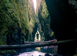
Oneonta Gorge
4.80.92 mi / 531 ft gain*Currently closed (except a small portion of the upper trail between Multnomah Spur and Trail #444 on Larch Mountain)...here This hike is very short (1 mile roundtrip) but does take some time to do. The trail leads down from the road into a stream bed. You follow the stream bed upstream through ...Read more -
Stevenson, Washington
Wind Mountain
5.02.5 mi / 1037 ft gainOnce you reach the parking lot, walk down the hill and find the trail head, which is easily seen as it is marked. Begin your trek up the trail. The way up is pretty much all uphill, and is a great workout for the legs. You will walk through forests and over many rocks on the way up. As soon as y...Read more -
Corbett, Oregon
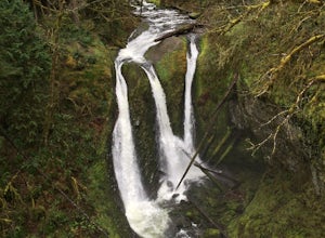
Triple Falls
4.53.4 mi / 1168 ft gainAccess to Triple Falls is currently closed. Learn more on the Forest Service Site. This hike, starting at the Oneonta Trailhead is a 3.2 mile roundtrip. You will gain approximately 600 feet in elevation as the trail often switches from moderate flat easy hiking to more difficult elevation gain a...Read more -
Stevenson, Washington
Hardy and Rodney Falls
4.02.17 mi / 699 ft gainLocated along the Hamilton Mountain Trail, the Hardy and Rodney falls out and back hike is a good alternative for those looking for a shorter hike compared to the 7.6-mile hike to the top of Hamilton Mountain. From the Hamilton Mountain Trailhead, you will follow the trail through thick trees fo...Read more -
Cook, Washington
Spirit Falls
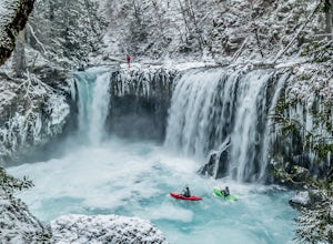
4.01.5 mi / 516 ft gainNOTE: Access to this hike is currently closed. A Part of this hike goes through private land. At this time, the landowner is not granting access to hikers. There are no signs or trail head for the falls, but it's a popular spot for kayakers and photographers, so look for a faint boot path direct...Read more -
Corbett, Oregon
Hike to Upper Bridal Veil Falls
5.00.5 miAt the parking lot for Angel's Rest, turn left uphill on to Palmer Mill Road. Drive for about a mile, and park right past a tributary stream/small waterfall (pictured above) on your left that flows through a small pipe under the road. You will see a small space to park on the right. Park here and...Read more -
Cascade Locks, Oregon
Multnomah-Wahkeena Loop
4.35.11 mi / 2162 ft gainThe Multnomah-Wahkeena loop is a classic hike in the Columbia Gorge. Few hikes take you by as many waterfalls, and the tree cover makes it a great hike in the rain. Starting at the Multnomah Falls Parking Area, head to the main viewing area of Multnomah Falls. If you get there early in the morn...Read more

