Marion Forks, Oregon
Looking for the best hiking in Marion Forks? We've got you covered with the top trails, trips, hiking, backpacking, camping and more around Marion Forks. The detailed guides, photos, and reviews are all submitted by the Outbound community.
Top Hiking Spots in and near Marion Forks
-
Deschutes County, Oregon
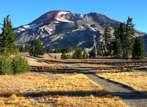
Hike to Moraine Lake Beneath South Sister
5.05 mi / 1476 ft gainThe lake is less than 3 miles from Devils Lake. Starting from the Trail head along Cascade Lakes Highway you gain 1,476 feet of elevation. You will follow the South Sisters Climbers trail, it is well traveled, and well marked. The majority of the elevation gain occurs in the first two miles, as y...Read more -
Deschutes County, Oregon
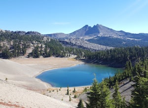
Broken Top Trail to No Name Lake
4.74.84 mi / 1198 ft gainThe hike takes you along a glacial lake and to unbeatable mountain views at the end. It’s a hidden gem! The trail isn’t marked and the best way to get there is know someone that’s been before. The lake is unbelievably beautiful with deep blue glacial water and the view of the mountains at the end...Read more -
Deschutes County, Oregon
South Sister via Devil's Lake Trailhead
5.011.8 mi / 4900 ft gainNot only is South Sister a stunning image and visible from hundreds of miles throughout Central Oregon, but it is a great beginner climb to introduce hikers to high altitude mountain life. As long as you’re mentally prepared, have good physical endurance, and pack right, there’s no reason why thi...Read more -
Bend, Oregon
Green Lakes Trail
4.79.19 mi / 1240 ft gainThis 8.5 mile roundtrip hike to Green Lakes basecamp gains elevation gradually as it meanders along beautiful Fall Creek with numerous small cascades. Depending on the season (expect significant snow on the trail through early-to-mid June) the stark contrast of the snow with creek is beautiful, t...Read more -
Clackamas County, Oregon
Tumala (Squaw) Mountain
4.74.51 mi / 1099 ft gainOn a clear day, this short, secluded hike offers breath-taking views of Mt. St. Helens, Mt. Rainier, Mt. Adams, Mt. Hood, and Mt. Jefferson, as well as of downtown Portland, Coast Range, and the Roaring River Wilderness. Begin the hike from the Twin Springs Trailhead and immediately take your fi...Read more -
Bend, Oregon
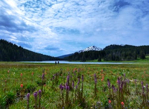
Camp at Todd Lake
4.0Todd Lake is a beautiful yet small lake just 24 miles West of Bend. Its location is perfect for accessing Broken Top Mountain, and even better for the view of Mount Bachelor.Spend a day at Todd Lake and enjoy fishing (mostly rainbow trout), swimming, and free access to three different locations o...Read more -
Bend, Oregon
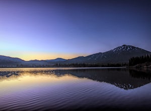
Sparks Lake Loop
5.01.41 mi / 49 ft gainSparks Lake is the perfect place to bring the whole family for a hike and to see the beauty of the Cascade Mountains reflecting on the water. This spot is slightly typicaly less crowded than nearby lakes and this trail tends to be less popular than other trails around Sparks Lake. Don't expect to...Read more -
Bend, Oregon
Camp Along the Shore at Sparks Lake
4.5Just a quick 26-mile drive from Bend you'll find Sparks Lake, where shallow water, amazing lakeside camping grounds, and the possibility of catching a glimpse of the Aurora Borealis make for some of the best weekend camping in Oregon.Pay for a site or park along the road before you come to the "C...Read more -
Terrebonne, Oregon
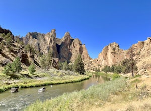
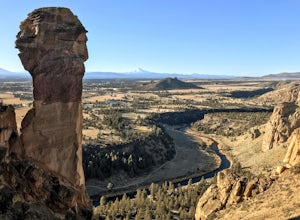
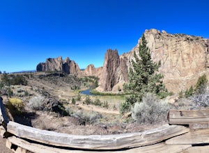
Smith Rock State Park Loop
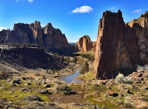
4.95.55 mi / 1325 ft gainPark your vehicle in the bivouac parking area and hike 200 yards west to the tent campsites. Set up your home away from home at one of the undesignated cliff side campsites overlooking the park. Although it is famous for rock climbing, Smith Rock also boasts an extensive trail system. The best h...Read more -
Terrebonne, Oregon
Smith Rock State Park Canyon Trail
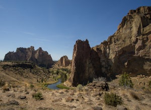
5.03.27 mi / 587 ft gainSmith Rock State Park Canyon Trail is an out-and-back trail that takes you past scenic surroundings located near Terrebonne, Oregon.Read more -
Terrebonne, Oregon
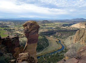
Misery Ridge Trail
5.02.58 mi / 919 ft gainMisery Ridge Trail is an out-and-back trail that takes you past scenic surroundings located near Terrebonne, Oregon.Read more -
Terrebonne, Oregon
North Point Loop
5.00.43 mi / 13 ft gainNorth Point Loop is a loop trail that takes you by a river located near Terrebonne, Oregon.Read more -
Terrebonne, Oregon
Misery Ridge Loop
5.02.57 mi / 774 ft gainThis hike takes you on a tour of the park, starting out with a steep climb up to the top of the formations and then back down past Monkey Face and to the canyon floor. It's a very popular place so if you're hoping for solitude start early -- the light on the rock walls will be worth rising earl...Read more -
Terrebonne, Oregon
Summit Trail Loop at Smith Rock
4.66.87 mi / 1506 ft gainSmith Rock State Park is an iconic PNW canyon that's become one of the rock climbing capitals of the country, and known worldwide for its sport climbing routes. And while climbing draws crowds year-round, adventurers also visit for its trail system boasting sweeping Central Oregon volcano views. ...Read more -
Terrebonne, Oregon
Snow Camp at Smith Rock
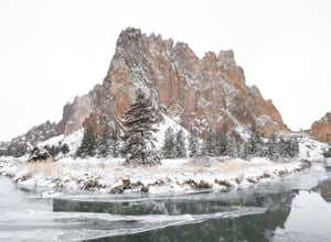
5.03 mi / 350 ft gainJust 140 miles southeast of Portland, and 27 miles north of Bend, lies a clustering of rocks more prominently referred to as Smith Rock.This intricate rock formation is a mecca for climbers during the warm summer months, however the landmark unveils a new face during the snowy season that few eve...Read more -
Terrebonne, Oregon
Canyon Trail and Homestead Trail
2.38 mi / 466 ft gainCanyon Trail and Homestead Trail is an out-and-back trail that takes you by a river located near Terrebonne, Oregon.Read more

