Jefferson County, Oregon
Looking for the best hiking in Jefferson County? We've got you covered with the top trails, trips, hiking, backpacking, camping and more around Jefferson County. The detailed guides, photos, and reviews are all submitted by the Outbound community.
Top Hiking Spots in and near Jefferson County
-
Deschutes County, Oregon
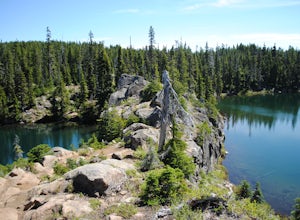
Matthieu Lakes via Lava Camp Lake Trail
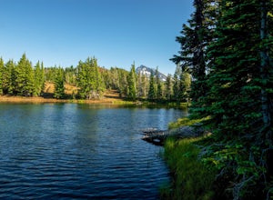
2.06 mi / 922 ft gainBegin your hike at the Lava Camp Lake Trailhead. The trail winds through a forest flush with hemlock and fir while opening up into black lava flows. Continue for a little over two miles until you reach North Matthieu Lake. This is your first stop. Go for a swim out to the little island and have a...Read more -
Rhododendron, Oregon
Burnt Lake and Zigzag Mountain
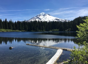
5.012.27 mi / 3225 ft gainAfter getting your back country permit from a park ranger, you can park your car and head up Zigzag Mountain. There's a tiny 'parking lot' (lot of dirt) where you park that's right by the trailhead. The hike up to the campsites is roughly 4 miles, and it is all uphill. Not only are you surrounde...Read more -
Scotts Mills, Oregon
Abiqua Falls
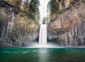
4.90.69 mi / 115 ft gainThis trail is unmarked and a little rough and rugged. The land is privately owned by Mount Angel Abbey, but they don't appear to have problems with courteous hikers. Walking out of the parking area back up the road in the direction you came from, you’ll pass one dirt trail right at the ending of ...Read more -
High Prairie Trailhead, Oregon
Lookout Mountain via High Prairie Trailhead
2.69 mi / 531 ft gainLookout Mountain should be the most popular destination in Oregon given its views to effort ratio. Mount Hood seems close enough to reach out and touch from the open, rocky summit, and views extend from the Three Sisters in the south to Mount Rainier to the north. While the hike is popular in the...Read more -
Rhododendron, Oregon
Ramona Falls Loop
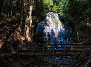
4.77.17 mi / 1148 ft gainI'd been wanting to do this hike for quite a while, and when I found work taking me to Portland, I made my return trip through the Mt. Hood wilderness area. I started this Hike from the Ramona Falls trailhead, which is the most popular starting point. The easiest way to find the trailhead, is t...Read more -
Mount Hood, Oregon
McNeil Point via Top Spur Trailhead
4.97.17 mi / 2428 ft gainThe hike to McNeil Point begins at Top Spur Trailhead, in the Mt. Hood National Wilderness. Follow signs for McNeil Point along the Pacific Crest and Timberline Trails heading north. Though there are numerous camping opportunities along the way (most of the route follows the PCT), an old stone s...Read more -
Mount Hood, Oregon
Hike to Sandy Glacier Caves
4.512.5 mi / 2800 ft gainThe hike to the caves begins at Top Spur Trailhead. The hike to McNeil Point is 5.4 miles one way, and 2200 feet of elevation gain. The trail starts in the forest, but will eventually open up to views of Mt Hood, as well as St. Helens, Adams and Rainier on a clear day.There is a shortcut up to Mc...Read more -
Mount Hood, Oregon
Timberline Loop Trail via the Top Spur Trail
4.02.26 mi / 627 ft gainStarting at the parking area, cross the dirt road to start hiking up from the Top Spur Trailhead. In 0.4 miles you will reach the Pacific Crest Trail intersection, take a right onto the Pacific Crest Trail. In a couple hundred feet you will reach a larger intersection of a bunch of different trai...Read more -
Stayton, Oregon
Shellburg Falls
3.23.7 mi / 520 ft gainThis hike is currently closed due to fire damage. Please check the Oregon.gov website or the call the Oregon Department of Forestry (503-859-4344) for updates. The hike, including the initial 1.25 mile gravel road to the trailhead, is easy to complete within 1-2 hours and only requires a modera...Read more -
Mount Hood, Oregon
Cooper Spur
5.06.87 mi / 3097 ft gainCooper Spur is located on the north east side of Mount Hood. This is the hike to do if you want to get up close and personal with the mountain. To get there you have to drive around 10 miles up a bumpy dirt road, once off the main road. Low-clearance vehicles can make it but high clearance vehic...Read more -
Mount Hood, Oregon
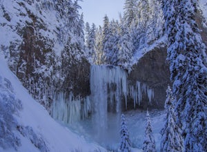
Snowshoe to Tamanawas Falls
4.53.6 mi / 590 ft gainStarting at the Sherwood Trailhead, follow the sign towards Tamanwas Falls. You will walk through the woods towards the river, and cross it on the log bridge. After crossing the creek, you will begin to head uphill. Keep going this way through the woods for nearly 2 miles, and you will reach the ...Read more -
Mount Hood, Oregon
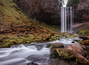
Tamanawas Falls
4.43.37 mi / 722 ft gainThis easy trail in the Mt Hood National Forest has a journey just as lovely as the destination. The hike follows closely along the banks of Cold Spring Creek, up through a massive boulder field, and finally arrives at the 150ft tall Tamanawas Hiking directions: Starting at the East Fork- Tamanaw...Read more -
Lane County, Oregon
Tenas Lakes via Benson Lake Trail
3.54.93 mi / 755 ft gainStarting from Scott Lake in the Willamette National Forest, take the Benson Lake Trail head that starts at the end of the road. This climbs gradually up to Benson Lake, a large, deep, cold lake. From there follow the trail up until you see a junction and a sign to Tenas Lakes. Follow this trail u...Read more -
Lane County, Oregon
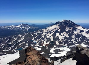
Summit Middle Sister via Renfrew Glacier
20 mi / 6000 ft gainIf you’ve been anywhere near Central Oregon, you’ve seen the Three Sisters Mountains dominate the skyline. Each of these volcanoes exceeds 10,000 ft. and are some of the highest peaks in the state of Oregon. Though they are truly considered sister peaks to one another, each has unique climbing ro...Read more -
Silverton, Oregon
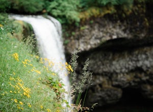
South Silver Falls
5.02.14 mi / 361 ft gainSouth Silver Falls is a loop trail that takes you by a river located near Silverton, Oregon.Read more -
Lane County, United States
Backpack the Obsidian Area
4.46 mi / 1800 ft gainThe Obsidian area is at least six miles from the closest trail head and 1800 feet of elevation gain. The best way to see the area is to plan a multi-day backpacking adventure. It is limited entry which is strictly enforced by the Forest Service. Only 30 day hikers and 40 overnight hikers are al...Read more

