Hood River, Oregon
Looking for the best photography in Hood River? We've got you covered with the top trails, trips, hiking, backpacking, camping and more around Hood River. The detailed guides, photos, and reviews are all submitted by the Outbound community.
Top Photography Spots in and near Hood River
-
Mount Hood, Oregon
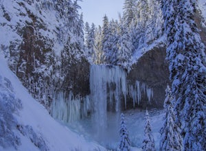
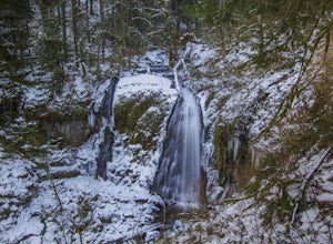
Snowshoe to Tamanawas Falls
4.53.6 mi / 590 ft gainStarting at the Sherwood Trailhead, follow the sign towards Tamanwas Falls. You will walk through the woods towards the river, and cross it on the log bridge. After crossing the creek, you will begin to head uphill. Keep going this way through the woods for nearly 2 miles, and you will reach the ...Read more -
Cascade Locks, Oregon
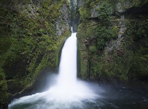
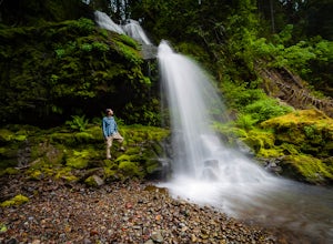
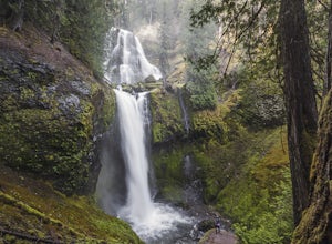
Wahclella Falls
4.71.74 mi / 410 ft gainThis is a very short and fairly easy, 1 mile in – 1 mile out, hike with a little bit of elevation gain. I took my time hiking and enjoying the scenery with the intention of this being a photo heavy trip. When I got to the end I spent at least an hour shooting from every angle I saw fit. Once you ...Read more -
Cascade Locks, Oregon
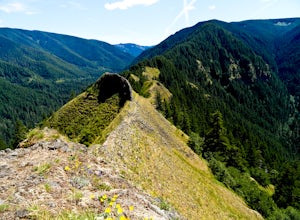
Munra Point
4.94.12 mi / 1870 ft gainThis trail is temporarily closed. Please visit the Forest Service website for updates to trails in the Columbia River Gorge. This hike starts at the Wahclella Falls trailhead, but does not use that trail. Instead, walk back towards the freeway and take a left onto the Columbia River Highway Tr...Read more -
Cascade Locks, Oregon
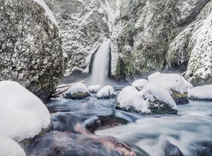
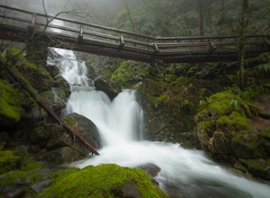
Snow Hike to Wahclella Falls
4.02 miThe wooden bridges, Munra Falls, beautiful canyon walls, and the mossy grotto at the end of the canyon itself would be enough of a draw for this hike, but you round the last corner and 65 foot Wahclella Falls comes in full view.The big snow covered river rocks looked like giant marshmallows, and ...Read more -
Mount Hood, Oregon
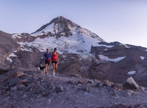
Cooper Spur
5.06.87 mi / 3097 ft gainCooper Spur is located on the north east side of Mount Hood. This is the hike to do if you want to get up close and personal with the mountain. To get there you have to drive around 10 miles up a bumpy dirt road, once off the main road. Low-clearance vehicles can make it but high clearance vehic...Read more -
North Bonneville, Washington
Table Mountain via Aldrich Butte Trailhead
4.716 mi / 3350 ft gainHike up into the forest (take the right path, not the one going left), and follow it all the way until you get to "Carpenter Lake" (which always seems to be just an empty, marshy field). Keep going and do not take the right path at the first Y split off. Instead, stay left, until you come to anot...Read more -
Carson, Washington
Steep Creek Falls
5.0Steep Creek Falls is located about 5 miles from the small town of Stevenson. Take Highway 14 one mile west of Stevenson to Rock Creek Drive and turn north, passing the Skamania Lodge and Resort. Turn left onto Ryan Allen Road and follow it for about a mile, then turn left onto Red Bluff Road. Fo...Read more -
Cascade Locks, Oregon
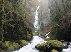
Elowah Falls
4.81.36 mi / 512 ft gainMultnomah Falls, which is about 5 miles from Elowah [along the Historic Columbia River Highway] takes a large portion of the crowd due to its visibility from the highway. With that said, you may get a much more deserted Elowah Falls if you decide to take the short but steep 15-minute hike to it...Read more -
Cascade Locks, Oregon
Upper McCord Creek Falls
4.71.98 mi / 617 ft gainStarting at the John B Yeon Trailhead parking lot, begin to walk into the forest. After a little more than a quarter mile, you will see a fork in the road, with one way leading to Elowah Falls, and the other way leading to Upper McCord Creek Falls. Take the trail leading to Upper McCord Creek. Th...Read more -
Mount Hood, Oregon
McNeil Point via Top Spur Trailhead
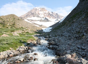
4.97.17 mi / 2428 ft gainThe hike to McNeil Point begins at Top Spur Trailhead, in the Mt. Hood National Wilderness. Follow signs for McNeil Point along the Pacific Crest and Timberline Trails heading north. Though there are numerous camping opportunities along the way (most of the route follows the PCT), an old stone s...Read more -
Mount Hood, Oregon
Hike to Sandy Glacier Caves
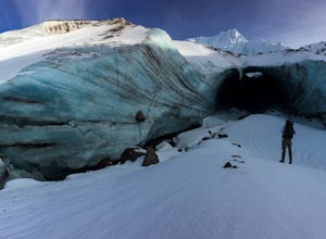
4.512.5 mi / 2800 ft gainThe hike to the caves begins at Top Spur Trailhead. The hike to McNeil Point is 5.4 miles one way, and 2200 feet of elevation gain. The trail starts in the forest, but will eventually open up to views of Mt Hood, as well as St. Helens, Adams and Rainier on a clear day.There is a shortcut up to Mc...Read more -
High Prairie Trailhead, Oregon
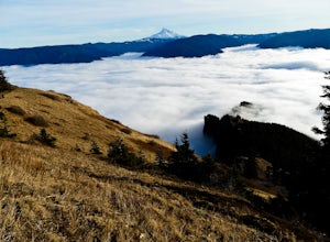
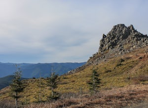
Lookout Mountain via High Prairie Trailhead
2.69 mi / 531 ft gainLookout Mountain should be the most popular destination in Oregon given its views to effort ratio. Mount Hood seems close enough to reach out and touch from the open, rocky summit, and views extend from the Three Sisters in the south to Mount Rainier to the north. While the hike is popular in the...Read more -
Carson, Washington
Falls Creek Falls
4.85.82 mi / 1512 ft gainThe trail to Falls Creek Falls is well maintained with a few short moderately steep areas. The trail hugs the creek for the first mile, and takes you through old growth trees for the second mile. Once the falls are in sight, make sure to stop and look up to see the top tier through the trees. It'...Read more -
Stevenson, Washington
Hardy and Rodney Falls
4.02.17 mi / 699 ft gainLocated along the Hamilton Mountain Trail, the Hardy and Rodney falls out and back hike is a good alternative for those looking for a shorter hike compared to the 7.6-mile hike to the top of Hamilton Mountain. From the Hamilton Mountain Trailhead, you will follow the trail through thick trees fo...Read more -
Stevenson, Washington
Three Corner Rock
4.03.86 mi / 1093 ft gainFrom the Rock Creek Pass Trailhead, begin the short hike to Three Corner Rock by heading south on the Pacific Crest Trail from its crossing of Road CG 2090. After a steady 1.5-mile climb of roughly 600 feet, look for a large fallen sign marking the junction to Three Corner Rock. Shortly after, an...Read more -
Mount Hood, Oregon
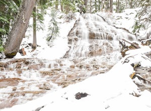
Snowshoe to Umbrella Falls
0.5 mi / 100 ft gainJust 66 miles east of Portland, and 35 miles south of Hood River the infamous Mt Hood breaks through the clouds for all to see. The highest peak of Oregon is the ultimate explorer's paradise offering something for every season... and in this case we mean snow shoeing and hiking!!Our trek begins ...Read more

