Hillsboro, Oregon
Looking for the best photography in Hillsboro? We've got you covered with the top trails, trips, hiking, backpacking, camping and more around Hillsboro. The detailed guides, photos, and reviews are all submitted by the Outbound community.
Top Photography Spots in and near Hillsboro
-
Tillamook, Oregon
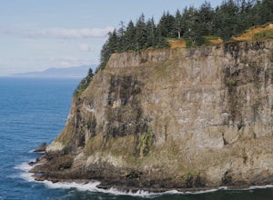
Cape Meares Lighthouse
4.3This historic site served as a major lighthouse for years and was turned into a scenic viewpoint offering some rad views of the Oregon Coast. The park is located only about 10 miles west of Tillamook. The parking lot has limited space so get there as early as you can. The Cape Meares lighthous...Read more -
Nehalem, Oregon
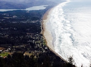
Neahkahnie Mountain via South Trailhead
5.02.92 mi / 860 ft gainYou have a couple different options on how to access this hike (North and South trailhead) also if you would like to hike the loop trail or out-and-back option. Driving directions for this hike isn't to difficult, heading south on highway 101 drive 16.6 miles past the exists for Cannon Beach and ...Read more -
Cascade Locks, Oregon
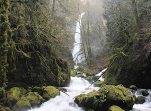
Elowah Falls
4.81.36 mi / 512 ft gainMultnomah Falls, which is about 5 miles from Elowah [along the Historic Columbia River Highway] takes a large portion of the crowd due to its visibility from the highway. With that said, you may get a much more deserted Elowah Falls if you decide to take the short but steep 15-minute hike to it...Read more -
Cascade Locks, Oregon
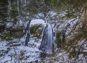
Upper McCord Creek Falls
4.71.98 mi / 617 ft gainStarting at the John B Yeon Trailhead parking lot, begin to walk into the forest. After a little more than a quarter mile, you will see a fork in the road, with one way leading to Elowah Falls, and the other way leading to Upper McCord Creek Falls. Take the trail leading to Upper McCord Creek. Th...Read more -
Stevenson, Washington
Three Corner Rock
4.03.86 mi / 1093 ft gainFrom the Rock Creek Pass Trailhead, begin the short hike to Three Corner Rock by heading south on the Pacific Crest Trail from its crossing of Road CG 2090. After a steady 1.5-mile climb of roughly 600 feet, look for a large fallen sign marking the junction to Three Corner Rock. Shortly after, an...Read more -
Cloverdale, Oregon
Cape Lookout
4.54.74 mi / 1135 ft gainCape Lookout is a two-mile long peninsula that juts into the Pacific Ocean from Oregon's rugged coastline. The park features more than 170 campsites, yurts, rustic cabins, and a day-use area, all located a short walk from the beach. There are roughly 10 miles of trails ranging from easy to mode...Read more -
Arch Cape, Oregon
Cape Falcon Trail
5.04.67 mi / 561 ft gainCape Falcon is one of two major hikes within Oswald West State Park, fifteen minutes south of Canon Beach on the Oregon Coast. Park in the lot at the trailhead off Highway 101 and head in. After a half a mile or so you’ll come to a junction with options for “The Beach” or “Cape Falcon”. Go right ...Read more -
Nehalem, Oregon
Surf Smuggler Cove
5.0The beach in Oswald West State Park is one of the more secluded beaches on the Oregon coast. Most tourists tend to stay by Canon Beach and Seaside, Oregon, so this little gem gets much less traffic.The parking lot is right on the highway with plenty of parking, a bathroom, and a drinking fountai...Read more -
Nehalem, Oregon
Short Sands Beach
5.01.16 mi / 184 ft gainIt is located just off the side of highway 101 north of Manzanita and south of Cannon Beach. To get here, you need to just pull off into the Oswald West parking lot on the ocean side of the freeway. From here, It is just a short walk through the old growth forrest covered in dense green moss wher...Read more -
North Bonneville, Washington
Table Mountain via Aldrich Butte Trailhead
4.716 mi / 3350 ft gainHike up into the forest (take the right path, not the one going left), and follow it all the way until you get to "Carpenter Lake" (which always seems to be just an empty, marshy field). Keep going and do not take the right path at the first Y split off. Instead, stay left, until you come to anot...Read more

