Government Camp, Oregon
Top Spots in and near Government Camp
-
National Forest Development Road 3550, Oregon
Snowshoe/Ski Bennett Pass Sno Park
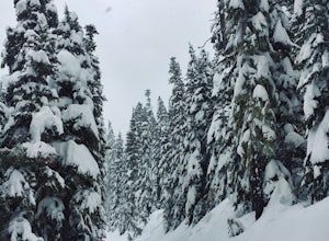
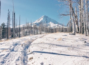
5.1 mi / 900 ft gainWith easy parking right off Hwy 35 on the east side of Mt Hood, Bennett Pass is a perfect destination for a straightforward lap on cross country skis, snowshoes or accessing easy backcountry terrain for skiers and boarders. Bennett Pass Road is a well-graded 5.1 mile out-and-back with several tr...Read more -
Rhododendron, Oregon
Burnt Lake and Zigzag Mountain
5.012.27 mi / 3225 ft gainAfter getting your back country permit from a park ranger, you can park your car and head up Zigzag Mountain. There's a tiny 'parking lot' (lot of dirt) where you park that's right by the trailhead. The hike up to the campsites is roughly 4 miles, and it is all uphill. Not only are you surrounde...Read more -
Hood River County, Oregon
Camp at Elk Meadows
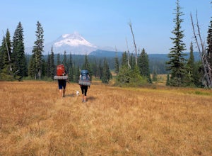
4.54.5 mi / 1200 ft gainThis is a great trip for those who are new to backpacking. The hike to the quiet, peaceful Elk Meadows is relatively short, but the Newton Creek crossing presents enough difficulty to make this a fun and challenging adventure.Start at the Hood River Meadows Trailhead parking lot. Though there are...Read more -
Rhododendron, Oregon
Devil's Peak Lookout
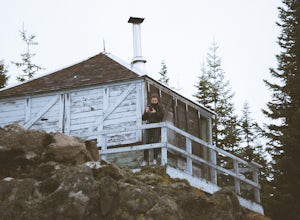
3.02.62 mi / 600 ft gainThe Trail: This hike is one of the 2 routes that lead to the lookout, and the shorter of the two. It requires more driving to get to the trailhead than the other, but less walking, so if that sounds appealing to you, you have come to the right place! First, you'll be greeted by a dense forest w...Read more -
Rhododendron, Oregon
Ramona Falls Loop
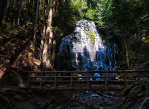
4.77.17 mi / 1148 ft gainI'd been wanting to do this hike for quite a while, and when I found work taking me to Portland, I made my return trip through the Mt. Hood wilderness area. I started this Hike from the Ramona Falls trailhead, which is the most popular starting point. The easiest way to find the trailhead, is t...Read more -
Mount Hood, Oregon
McNeil Point via Top Spur Trailhead
4.97.17 mi / 2428 ft gainThe hike to McNeil Point begins at Top Spur Trailhead, in the Mt. Hood National Wilderness. Follow signs for McNeil Point along the Pacific Crest and Timberline Trails heading north. Though there are numerous camping opportunities along the way (most of the route follows the PCT), an old stone s...Read more -
Mount Hood, Oregon
Hike to Sandy Glacier Caves
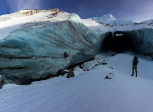
4.512.5 mi / 2800 ft gainThe hike to the caves begins at Top Spur Trailhead. The hike to McNeil Point is 5.4 miles one way, and 2200 feet of elevation gain. The trail starts in the forest, but will eventually open up to views of Mt Hood, as well as St. Helens, Adams and Rainier on a clear day.There is a shortcut up to Mc...Read more -
Mount Hood, Oregon
Timberline Loop Trail via the Top Spur Trail
4.02.26 mi / 627 ft gainStarting at the parking area, cross the dirt road to start hiking up from the Top Spur Trailhead. In 0.4 miles you will reach the Pacific Crest Trail intersection, take a right onto the Pacific Crest Trail. In a couple hundred feet you will reach a larger intersection of a bunch of different trai...Read more -
Mount Hood, Oregon
Cooper Spur
5.06.87 mi / 3097 ft gainCooper Spur is located on the north east side of Mount Hood. This is the hike to do if you want to get up close and personal with the mountain. To get there you have to drive around 10 miles up a bumpy dirt road, once off the main road. Low-clearance vehicles can make it but high clearance vehic...Read more -
Government Camp, Oregon
Camp at Clear Lake
4.0Located just 1.5 Hours from Portland and on the east side of clear lake, this campground offers multiple water activities such as Kayaking, SUP, Fishing, and Swimming. What's great about this campground is that the sites are large and are shaded by the old growth trees which makes it feel more s...Read more -
Rhododendron, Oregon
Frustration Falls
3.08.26 mi / 1854 ft gainThe hike and possible rappel to Frustration Falls begins at the Salmon River trailhead right outside of Welches, Oregon. From the trailhead you follow the trail for about 4 miles at which point you reach Canyon View (Shown in pictures 5-6 above). From the main trail this is the only view of Frust...Read more -
Clackamas County, Oregon
Salmon River Trail
4.54.4 mi / 50 ft gainLargely Flat Trail4.4 Miles roundtripOld Growth ForestRiver Scouting Opportunities There are seven trailheads all off to the right of E. Salmon River Road. All are easily accessible under normal conditions. The hike meanders alongside the river, providing ample opportunities to scout the river's...Read more -
Mount Hood, Oregon
Snowshoe to the Tilly Jane A-Frame
5.02.7 mi / 1900 ft gainBuilt in the 1930's, the Tilly Jane A-Frame sits on the North side of Mount Hood at around 6,000ft. The cabin is very popular during winter months as it is located only 1,000ft below the tree line and offers beautiful snowshoeing, hiking, skiing and snowboarding opportunities, yet is also a popul...Read more -
Clackamas County, Oregon
Little Crater Lake to Timothy Lake Campground
3.42 mi / 338 ft gainLittle Crater Lake to Timothy Lake Campground is an out-and-back trail that takes you by a lake located near Government Camp, Oregon.Read more -
Mount Hood, Oregon
Snowshoe to Tamanawas Falls
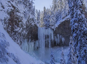
4.53.6 mi / 590 ft gainStarting at the Sherwood Trailhead, follow the sign towards Tamanwas Falls. You will walk through the woods towards the river, and cross it on the log bridge. After crossing the creek, you will begin to head uphill. Keep going this way through the woods for nearly 2 miles, and you will reach the ...Read more -
Mount Hood, Oregon
Tamanawas Falls
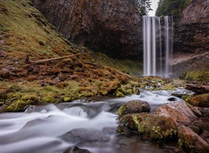
4.43.37 mi / 722 ft gainThis easy trail in the Mt Hood National Forest has a journey just as lovely as the destination. The hike follows closely along the banks of Cold Spring Creek, up through a massive boulder field, and finally arrives at the 150ft tall Tamanawas Hiking directions: Starting at the East Fork- Tamanaw...Read more

