Gladstone, Oregon
Looking for the best photography in Gladstone? We've got you covered with the top trails, trips, hiking, backpacking, camping and more around Gladstone. The detailed guides, photos, and reviews are all submitted by the Outbound community.
Top Photography Spots in and near Gladstone
-
Cascade Locks, Oregon
Lower Starvation Ridge Loop
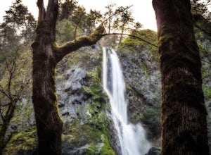
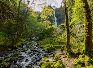
3.72.69 mi / 1001 ft gainStarvation Creek Falls is an impressive 190 ft. waterfall just a few feet from the parking lot. If you don't know it's there, you'll miss it. Keep walking past the restrooms, away from the trail head to see this beautiful two-tiered waterfall. There are a couple of picnic tables near the creek to...Read more -
Cascade Locks, Oregon
Starvation Creek Falls
3.5The Starvation Creek Falls drops 141ft down into a naturally formed bowl, cascading past a wooded picnic area and onto the Columbia River. The falls are one of the easiest falls to access in the Columbia River Gorge along with Multnomah Falls, but are far less Crowded. The short 300ft walk from t...Read more -
Cascade Locks, Oregon
Warren and Lancaster Falls
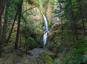
4.51.89 mi / 571 ft gainThe hike along Mt. Defiance Trail to Warren and Lancaster Falls is great if you want to get away from some of the more crowded destinations in the gorge, or just want to catch some shade during the summer. The trail is fairly easygoing, though the last 1/4th of a mile to Lancaster Falls is a bit ...Read more -
Mount Hood, Oregon
Tamanawas Falls
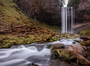
4.43.37 mi / 722 ft gainThis easy trail in the Mt Hood National Forest has a journey just as lovely as the destination. The hike follows closely along the banks of Cold Spring Creek, up through a massive boulder field, and finally arrives at the 150ft tall Tamanawas Hiking directions: Starting at the East Fork- Tamanaw...Read more -
Mount Hood, Oregon
Snowshoe to Tamanawas Falls
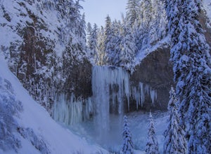
4.53.6 mi / 590 ft gainStarting at the Sherwood Trailhead, follow the sign towards Tamanwas Falls. You will walk through the woods towards the river, and cross it on the log bridge. After crossing the creek, you will begin to head uphill. Keep going this way through the woods for nearly 2 miles, and you will reach the ...Read more -
Mount Hood, Oregon
Explore Lavender Valley
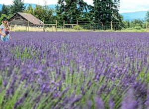
4.0Lavender Valley is a beautiful 6 acre hidden gem just 30 minutes south of Hood River, Oregon. Drive south on Hwy 35 for 12.6 miles to Woodworth Rd. Turn right/west onto Woodworth Rd. Take Woodworth Rd for 1.5 miles to Alexander Rd. Turn right/north onto Alexander Rd. Take Alexander Rd for 1 mile ...Read more

