Foster, Oregon
Top Spots in and near Foster
-
Bend, Oregon
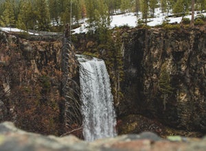
Tumalo Falls Loop
6.87 mi / 1237 ft gainTumalo Falls Loop is a loop trail with stunning scenery including the adventure titled, Tumalo Falls. This trail is located near Bend, Oregon.Read more -
Bend, Oregon
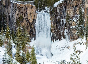
Tumalo Falls and Double Falls
5.02.01 mi / 318 ft gainTumalo Falls and Double Falls is an out-and-back trail that takes you by two stunning waterfalls located near Bend, Oregon. This trail is dog friendly on-leash.Read more -
Bend, Oregon
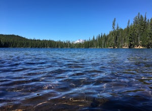
Hike to Lucky Lake
5.02.5 mi / 405 ft gainLocated just 4.36 miles past the popular Elk Lake Day Use turnoff, the trailhead is on the right side of the highway, marked by a small 'trailhead' sign. The hike begins at the Senoj Lake Trailhead and climbs up to the lake for 1.26 miles. Once you reach the lake, you can choose to go left or rig...Read more -
Clackamas County, Oregon
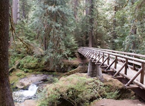
Bagby Hot Springs
4.32.91 mi / 397 ft gainBagby Hot Springs is actually a set of amazing bathhouses nestled in the forest outside of Estacada. They are one of Oregon’s most poplar hot springs, and for good reason. The hike into the hot springs is easy and quite scenic. You’ll cross a bridge over Nohorn Creek and follow the Hot Springs Fo...Read more -
Scotts Mills, Oregon
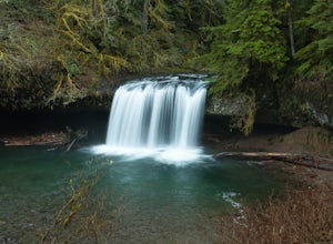
Upper Butte Creek Falls
4.00.73 mi / 308 ft gainFrom Scott Mills Follow Crooked Finger RD NE for 13.3 Miles to the Upper Butte Creek Trailhead. The last 2-3 miles or so is gravel road with some potholes but most cars shouldn't have a problem. The path down to the falls starts near the bathrooms. A short .3 mile walk on a few switchbacks and...Read more -
Silverton, Oregon
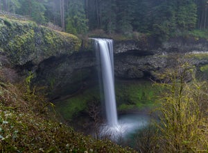
South Silver Falls
5.02.14 mi / 361 ft gainSouth Silver Falls is a loop trail that takes you by a river located near Silverton, Oregon.Read more -
Drake Crossing, Oregon
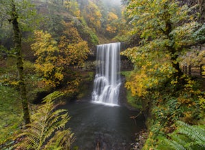
Trail of Ten Falls Loop
4.77.16 mi / 1178 ft gainThe unique feature of South Falls, Lower South Falls, and Middle North Falls are the paths that pass behind the falls providing an amazing visual and auditory experience; however, be sure to have a good bag for your equipment to avoid water damage and a decent jacket (preferably water-resistant)....Read more -
Silverton, Oregon
Camp in Silver Falls State Park
4.68.7 mi / 1300 ft gainIf you're thinking of hiking the Trail of Ten Falls Loop and staying overnight, there are 42 tent campsites (available from April – Oct) as well as 14 rustic cabins. With multiple beds, heat, electricity, a covered porch, and a small fridge, they provide the perfect respite after a long day of ex...Read more -
Terrebonne, Oregon
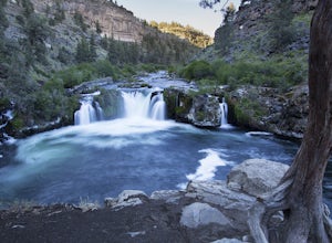
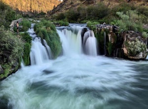
Hike to Steelhead Falls
4.81 mi / 120 ft gainFollowing along the Dechutes river for half a mile you will see where the river progressively gets more aggressive. On both sides of the trail you will see beautiful mountain inclines and jagged cliffs. If your lucky you might just see a bald eagle soaring high above! Along with Steel Head being ...Read more -
Terrebonne, Oregon
Steelhead Falls
1.98 mi / 148 ft gainSteelhead Falls is an out-and-back trail that takes you by a waterfall located near Terrebonne, Oregon.Read more -
Scotts Mills, Oregon
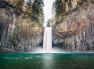
Abiqua Falls
4.90.69 mi / 115 ft gainThis trail is unmarked and a little rough and rugged. The land is privately owned by Mount Angel Abbey, but they don't appear to have problems with courteous hikers. Walking out of the parking area back up the road in the direction you came from, you’ll pass one dirt trail right at the ending of ...Read more -
Lane County, Oregon
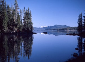
Kayak Camping at Waldo Lake
5.0Waldo Lake is at the top of most Oregon paddler’s lists for a late-summertime adventure. Not only is the lake perfectly set up for days of exploration, but the visibility of the water is staggering…and record setting. It’s been measured over 150 feet. It’s important to note that the future sereni...Read more -
Bend, Oregon
MTB on Phil's Trail Single Track
5.0The Phil's Area Trail System is the go-to trail system for mountain biking in Bend. Even the other trails in the region that aren't actually part of the Phil's Trail System feed into or connect to trails that feed into Phil's.According to the locals, the boundaries of the Phil's Area Trail System...Read more -
Deschutes County, Oregon
Camp and Fish at Crane Prairie Reservoir
3.0Crane Prairie Reservoir is one of the top-producing rainbow trout fisheries in Central Oregon. The record rainbow to date weighed just over 19 pounds, so there is a good chance of catching some lunkers while visiting here.The lake is located on the Deschutes National Forest, approximately 30 mile...Read more -
Bend, Oregon
Deschutes River Trail: Lava Island Trailhead to Benham Falls
13.13 mi / 673 ft gainDeschutes River Trail: Lava Island Trailhead to Benham Falls is an out-and-back trail that takes you by a river located near La Pine, Oregon.Read more -
Bend, Oregon
Deschutes River Trail: Meadow Day Use Area
5.06.6 mi / 279 ft gainDeschutes River Trail: Meadow Day Use Area is an out-and-back trail that takes you by a river located near Bend, Oregon.Read more

