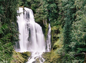
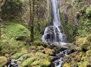
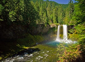
Fall Creek, Oregon
Top Spots in and near Fall Creek
-
Lane County, Oregon
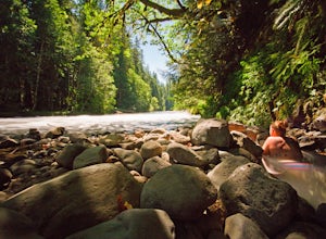
Bigelow Hot Springs
2.0Unlike many other springs you'll find, this pool has basically no barriers to entry – it is accessible via a short hike, has no fee, and is available year-round. While the temperature is less than 100 degrees, the scenic surroundings make up for the slightly less than hot water.Read more -
Lane County, Oregon
Ski or Snowshoe to Fuji Shelter
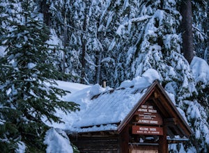
8 mi / 1400 ft gainThis is a great and relatively easy winter overnight trip for cross-country skiiers and snowshoers alike into the crest of the Oregon Cascades. The route offers tremendous views of Diamond Peak, Willamette Pass, and the western Oregon Cascades. While it can be done in a day, take advantage of th...Read more -
Lane County, Oregon
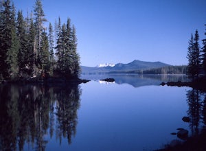
Kayak Camping at Waldo Lake
5.0Waldo Lake is at the top of most Oregon paddler’s lists for a late-summertime adventure. Not only is the lake perfectly set up for days of exploration, but the visibility of the water is staggering…and record setting. It’s been measured over 150 feet. It’s important to note that the future sereni...Read more -
Lane County, Oregon
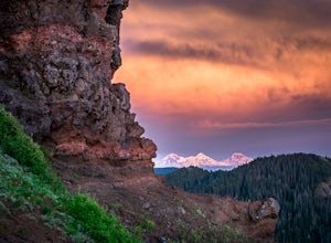
Summit Diamond Peak
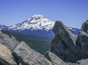
9 mi / 3600 ft gainAt 8,743 feet, Diamond Peak is almost as tall as the other iconic volcanoes of the Oregon Cascades, but sees just a fraction of the people. Outside the range of casual Portland day hikes and hard to see from the highway and from other peaks, Diamond Peak and the spectacular wilderness surrounding...Read more -
Crescent, Oregon
Fuji Mountain Summit via Waldo Road
11.3 mi / 2329 ft gainBackground Fuji Mountain has been known by mountain bikers for years, since it sits just off the circuit of popular biking routes around Waldo Lake and makes for a notoriously difficult climb on a bike. Word hasn't spread to the hiking community yet, despite the spectacular views from the summit...Read more -
Foster, Oregon
Iron Mountain
4.71.79 mi / 610 ft gainGetting There There are a couple of different routes to the summit of Iron Mountain. This adventure article focuses on the shorter but more strenuous hike to the summit of Iron Mountain. To get there, drive to the upper trailhead (Trail # 3389) via Highway 20. Take Forest Service Road (FSR) 035 ...Read more -
Douglas County, Oregon
Hike to Susan Creek Falls
4.01.9 mi / 434 ft gainThis hike starts at the main parking lot about a mile away from the falls. The falls are accessed via a very easy, well graded trail developed and maintained by the Oregon BLM.The hike through the forest and pine trees make it for a fantastic and fairy tale-like hike. When you arrive at Susan Cre...Read more -
Linn County, Oregon
Tamolitch Blue Pool
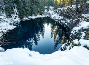
5.03.56 mi / 253 ft gainThe hike out to Tamolitch Pool, or "Blue Pool," is 2 miles each way and follows the McKenzie River to a lava flow pool. Off Highway 126 14 miles east of McKenzie Bridge, turning into the Trailbridge Campground, drive right 1/3 of a mile to the trailhead. The trail is relatively flat, which gives ...Read more -
Lane County, Oregon
Substitute Point via Foley Ridge Trail
9.75 mi / 1900 ft gainThis is a viewless hike until you reach Substitute Point. You are then rewarded with an amazing view. From the trailhead (#3511) you will travel 4.3 miles on an unmaintained trail into the Three Sisters Wilderness to the junction of Substitute Point. The trail has lots of fallen trees you must c...Read more -
Crescent, Oregon
Ski or Snowshoe to Midnight Lake
6.2 mi / 600 ft gainThe trip to Midnight Lake is a great way to spend a winter day and explore an otherwise overlooked lake in the central Oregon Cascades. Although the lake does see winter visitors, it is often empty and very few people bother to hike to the far end of the lake. The route to the lake is through be...Read more -
Lane County, Oregon
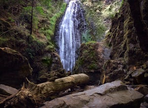
Proxy Falls
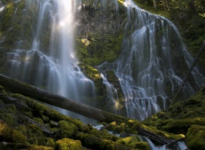
5.01.51 mi / 374 ft gainThis is one of the most amazing waterfalls in Oregon. The size is unbelievable – especially when you’re standing right underneath it, which I would recommend anyone to do (just be prepared for a misty shower) The hike is Easy! It’s only about 2 miles round trip. I remember going here when I was ...Read more -
Crescent, Oregon
Diamond View Lake via Trapper Creek
9.88 mi / 1070 ft gainDiamond View Lake is relatively unknown compared to many of the other lakes in the Oregon Cascades, yet the views it delivers of Diamond Peak are top-notch. While it can also be done as a summer backpack, winter brings out the best aspects of the scenery - low-angle light on Diamond Peak, long n...Read more -
Corvallis, Oregon
Mary's Peak
4.452 mi / 4020 ft gainThis ride takes you from the banks of the Willamette River at the Corvallis waterfront to the top of Mary's Peak, 26 miles and 4,000 vertical feet away. While it starts out with a warm-up through the flats of the Willamette Valley, it quickly starts climbing up around the west side of Mary's Pea...Read more -
Lane County, Oregon
Linton Falls
4.54 mi / 900 ft gainNOTE: There is no development of viewing areas or trails, which makes for more of a wilderness experience than other waterfalls in the region. There may also be fallen trees blocking the trail, making this adventure more challenging. Hiking to Linton Falls accounts for the two larger waterfalls...Read more -
Reedsport, Oregon
Kentucky Falls Trail
5.03.72 mi / 778 ft gainKentucky Falls Trail is an out-and-back trail that takes you by a waterfall located near Mapleton, Oregon.Read more -
Linn County, Oregon
Koosah Falls Trail
5.00.86 mi / 180 ft gainKoosah Falls Trail is an out-and-back trail that takes you by a waterfall located near Sisters, Oregon.Read more

