Camp Sherman, Oregon
Top Spots in and near Camp Sherman
-
Bend, Oregon
Hike Mt. Bachelor Sunrise to Summit
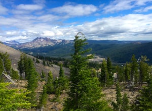
4.56 mi / 2615 ft gainThe Sunrise to Summit Trail on Mt. Bachelor is the easiest and most straightforward way for peakbaggers to reach the summit of one of Central Oregon’s classic volcano climbs. The top boasts views of Broken Top, the Three Sisters, and even Mt. Jefferson beyond. Mt. Bachelor’s official Sunrise to S...Read more -
Bend, Oregon
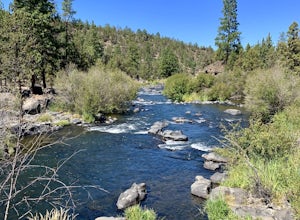
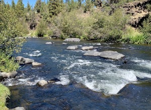
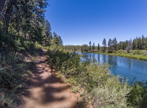
Deschutes River Trail Loop
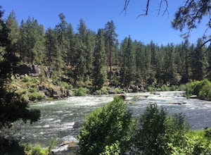
4.73.18 mi / 203 ft gainThere are quite a few urban trails along the Deschutes River, but my favorite runs just South of the Old Mill District near the Farewell Bend Park. Here you will find a gravel loop trail that is private and relaxing, but also very convenient to other amenities such as restrooms, shops, and resta...Read more -
Marion County, Oregon
Gold Butte Fire Lookout
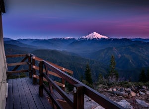
4.32.44 mi / 741 ft gainGold Butte Fire Lookout is a real gem in the Willamette National Forest. At 4618 feet elevation, the nearby Cascade Mountain views are nothing short of spectacular! At the summit, sits a L-4 Ground Structure Type Fire Lookout that was built in1934 to be used as a Fire Lookout. Additionally, durin...Read more -
Bend, Oregon
Float or Paddle The Deschutes River
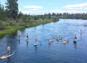
4.7Looking for something fun to do in Bend when the weather gets warm? Look no further. The easiest way to make this happen is to take your crew down to Riverbend Park. There's ample parking, on-site rentals of all kinds, and a beach for launching. The park also features a lot of nice grass areas fo...Read more -
Bend, Oregon
Deschutes River Loop via Farewell Bend Park
1.14 mi / 62 ft gainDeschutes River Loop via Farewell Bend Park is a loop trail that takes you by a river located near Bend, Oregon.Read more -
Bend, Oregon
Deschutes River Trail: Meadow Day Use Area
5.06.6 mi / 279 ft gainDeschutes River Trail: Meadow Day Use Area is an out-and-back trail that takes you by a river located near Bend, Oregon.Read more -
Detroit, Oregon
Battle Ax Mountain
5.05.09 mi / 1594 ft gainWith no officially marked trailhead, this hike begins slightly west of Elk Lake in Marion County. Take Highway 22 to Detroit, OR. East of the bridge over Breitenbush River, turn onto (FR) Forest Road 46, with signs pointing to Breitenbush River. After 4.5 miles turn left at a sign for Elk Lake, a...Read more -
Bend, Oregon
Deschutes River Trail: Lava Island Trailhead to Benham Falls
13.13 mi / 673 ft gainDeschutes River Trail: Lava Island Trailhead to Benham Falls is an out-and-back trail that takes you by a river located near La Pine, Oregon.Read more -
Detroit, Oregon
Dome Rock via the Upper Trailhead
2.36 mi / 479 ft gainFrom Highway 22 at the Breitenbush River Bridge, in Detroit, turn north on to French Creek Rd. Drive up French Creek about 7.7 miles to the Upper TH #3379/3381 to Dome Rock and Tumble Lake. The trail can be found on the left side of the road and is easily seen after you pass it. It's best to pass...Read more -
Gates, Oregon
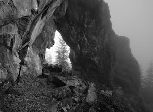
Natural Rock Arch
5.00.68 mi / 449 ft gainThe Santiam Forest is well known for its many beautiful spots, but this one is fairly uncommon. It's likely you will be the only person out here. Since it's such a short hike, just about a mile round trip, you could easily make it a pit stop on your way to or from someplace else and not have to w...Read more -
Bend, Oregon
Deschutes River Trail: Benham Falls to Slough Meadow
5.04.51 mi / 364 ft gainDeschutes River Trail: Benham Falls to Slough Meadow is an out-and-back trail that takes you by a river located near Bend, Oregon.Read more -
Bend, Oregon
Bike or Hike The Deschutes River Trail
22 mi / 1280 ft gainThe Deschutes River Trail is a must do mountain bike ride or hike in between Sunriver and Bend, Oregon. The river varies from calm water to waterfalls. The trail follows along the river and goes through pine forests, meadows, and lava flows. Most of the single track is smooth with a few more tech...Read more -
Bend, Oregon
Hike to Lucky Lake
5.02.5 mi / 405 ft gainLocated just 4.36 miles past the popular Elk Lake Day Use turnoff, the trailhead is on the right side of the highway, marked by a small 'trailhead' sign. The hike begins at the Senoj Lake Trailhead and climbs up to the lake for 1.26 miles. Once you reach the lake, you can choose to go left or rig...Read more -
Lane County, Oregon
Terwilliger (Cougar) Hot Springs
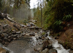
4.20.9 mi / 249 ft gainSoaking in Terwilliger (otherwise known as "Cougar") hot springs is a great way to relax and wind back while exploring the Cascades. A spring flows from a small cave and cascades into multiple pools leading down a small gully, creating pools which have varying temperatures from hot (closer to the...Read more -
Bend, Oregon
Hike Bessie Butte
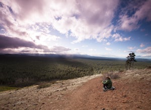
4.41.5 mi / 500 ft gainJust a mere 15 minutes outside of Bend, Oregon the Bessie Butte Trail is a wonderfully scenic hike to overlook Bend on one side and the Deschutes National Forest on the other. The butte provides an excellent view of the surrounding mountains of which there are many: Mount Bachelor, The South Sist...Read more -
Bend, Oregon
Mountain Bike Lava Lands Blackrock Trail to Benham Falls
Blackrock Trail starts at the Lava Lands Visitor Center, which is about a 5-mile drive south of Bend on Highway 97. You can park at the Lava Lands Visitor Center and then take the trail marked Sun-Lava Trail. This will take you to Blackrock Trail, which you will see as a turn-off to the right abo...Read more

