Camp Sherman, Oregon
Top Spots in and near Camp Sherman
-
Terrebonne, Oregon
Smith Rock State Park Loop
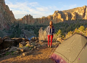
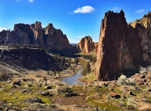
4.95.55 mi / 1325 ft gainPark your vehicle in the bivouac parking area and hike 200 yards west to the tent campsites. Set up your home away from home at one of the undesignated cliff side campsites overlooking the park. Although it is famous for rock climbing, Smith Rock also boasts an extensive trail system. The best h...Read more -
Terrebonne, Oregon
Smith Rock State Park Canyon Trail
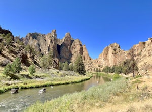
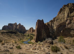
5.03.27 mi / 587 ft gainSmith Rock State Park Canyon Trail is an out-and-back trail that takes you past scenic surroundings located near Terrebonne, Oregon.Read more -
Terrebonne, Oregon
Misery Ridge Trail
5.02.58 mi / 919 ft gainMisery Ridge Trail is an out-and-back trail that takes you past scenic surroundings located near Terrebonne, Oregon.Read more -
Terrebonne, Oregon
Misery Ridge Loop
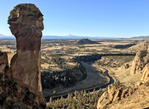
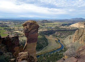
5.02.57 mi / 774 ft gainThis hike takes you on a tour of the park, starting out with a steep climb up to the top of the formations and then back down past Monkey Face and to the canyon floor. It's a very popular place so if you're hoping for solitude start early -- the light on the rock walls will be worth rising earl...Read more -
Terrebonne, Oregon
Summit Trail Loop at Smith Rock
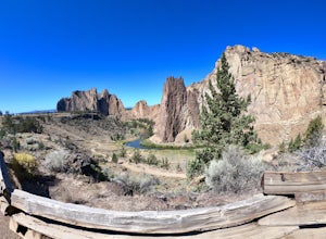
4.66.87 mi / 1506 ft gainSmith Rock State Park is an iconic PNW canyon that's become one of the rock climbing capitals of the country, and known worldwide for its sport climbing routes. And while climbing draws crowds year-round, adventurers also visit for its trail system boasting sweeping Central Oregon volcano views. ...Read more -
Terrebonne, Oregon
Snow Camp at Smith Rock
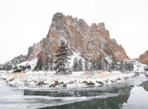
5.03 mi / 350 ft gainJust 140 miles southeast of Portland, and 27 miles north of Bend, lies a clustering of rocks more prominently referred to as Smith Rock.This intricate rock formation is a mecca for climbers during the warm summer months, however the landmark unveils a new face during the snowy season that few eve...Read more -
Terrebonne, Oregon
Canyon Trail and Homestead Trail
2.38 mi / 466 ft gainCanyon Trail and Homestead Trail is an out-and-back trail that takes you by a river located near Terrebonne, Oregon.Read more -
Terrebonne, Oregon
North Point Loop
5.00.43 mi / 13 ft gainNorth Point Loop is a loop trail that takes you by a river located near Terrebonne, Oregon.Read more -
Lane County, Oregon
Substitute Point via Foley Ridge Trail
9.75 mi / 1900 ft gainThis is a viewless hike until you reach Substitute Point. You are then rewarded with an amazing view. From the trailhead (#3511) you will travel 4.3 miles on an unmaintained trail into the Three Sisters Wilderness to the junction of Substitute Point. The trail has lots of fallen trees you must c...Read more -
National Forest Development Road 4220, Oregon
Hike to Gifford Lake
3 mi / 500 ft gainSet out at the Lower Lake trailhead along trail #717. After only half a mile the trail opens up to Lower Lake, with views of Olallie Butte. The trail winds around the north east side of the lake and you come to a junctions with trail #706. From here take the left onto #706 and continue about .6 o...Read more -
National Forest Development Road 4220, Oregon
Olallie Lake North Basin Loop
12.05 mi / 2021 ft gainBegin at the Lower Lake Campground and take the Lower Lake trailhead. The best direction to hike is counter clockwise, however you can do either. Continue along Trail #717 and very shortly you come out to Lower Lake featuring Mt. Jefferson as the backdrop. From here keep hiking and you reach yo...Read more -
Lane County, Oregon
Belknap Hot Springs
4.5This is a popular, family friendly spot, complete with two pools, indoor lodging, RV and tent camping, and hiking trails. The pools are kept at 185-195 degrees, with the smaller of the two being reserved for overnighters only. Day visitors are charged an hourly fee.Read more -
Deschutes County, Oregon
Broken Top Trail to No Name Lake
4.74.84 mi / 1198 ft gainThe hike takes you along a glacial lake and to unbeatable mountain views at the end. It’s a hidden gem! The trail isn’t marked and the best way to get there is know someone that’s been before. The lake is unbelievably beautiful with deep blue glacial water and the view of the mountains at the end...Read more -
Madras, Oregon
White Water Raft Down the Deschutes River
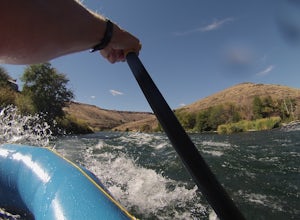
4.5For first time rafters and those just looking to get back into some fun white water, the Deschutes is a great run and an easily accessible one at that. Guiding companies operate trips spring through late summer starting out of the quiet town of Maupin, Oregon with both half day (just river raftin...Read more -
Bend, Oregon
Tumalo Falls
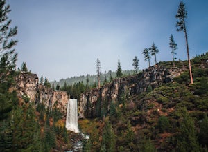
4.40.42 mi / 62 ft gainThe viewpoint is only footsteps from the parking area, and gives the best view of the 89-foot falls. A half mile trail leads visitors up to the upper viewpoint, right next to the falls. From there, Middle Tumalo Falls is around one and a quarter miles up the trail and Happy Valley is around three...Read more -
Bend, Oregon
Tumalo Creek Loop
5.09.79 mi / 1437 ft gainThis Loop begins at the Tumalo Falls View Point; however, the trail continues for another 3 miles. Although the first waterfall is certainly spectacular, this creek has cascading falls about every half mile. These water falls are indicative of the famous geology in the Three Sisters Wilderness....Read more

