Beaverton, Oregon
Looking for the best hiking in Beaverton? We've got you covered with the top trails, trips, hiking, backpacking, camping and more around Beaverton. The detailed guides, photos, and reviews are all submitted by the Outbound community.
Top Hiking Spots in and near Beaverton
-
Camas, Washington
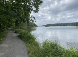
Hike Lacamas Heritage Trail
5.03.5 mi / 139 ft gainUsed often for cross country practice, the Lacamas Heritage Trail is a popular gem in Camas, Washington for all citizens. It is family and dog friendly and comes with endless scenic views of the beautiful Lacamas Lake. Parking is free and there are bathrooms at the entrance.Read more -
Camas, Washington
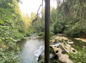
Explore Camas Pothole Falls
4.00.5 mi / 0 ft gainThis is on the Round Lake Loop trail and there’s a free parking area. It’s a relatively in and out hike that is family friendly but does have some downhill scrambles. Be careful when jumping as there has been fatalities in the past but as long as you’re practicing safe swimming you’ll be okay.Read more -
Camas, Washington
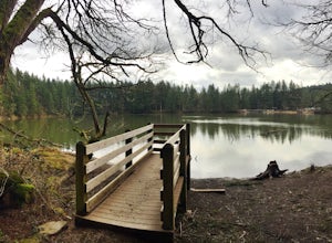
Run the Round Lake Loop at Lacamas Park
4.26.3 mi / 710 ft gainThis trail is a great option for people who want to escape the city, without actually leaving. Lacamas Park is located right downtown Camas, Washington and offers over six miles of dirt trails popular for cyclists, pedestrians, and runners.Park off of 3rd avenue at the Lacamas Creek Trailhead to ...Read more -
Portland, Oregon
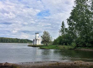
Warrior Rock Lighthouse
4.06.04 mi / 148 ft gainThis is a perfect easy hike close to Portland on Sauvie Island that offers more than just a walk through a forest. At the end of the 3 mile trail is a long secluded beach and the Warrior Rock Lighthouse. This has become one of my favorite go-to runs on a summer weeknight evening or for a quieter ...Read more -
McMinnville, Oregon
Miller Woods
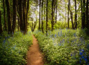
5.03.63 mi / 735 ft gainMiller Woods Trail is a loop trail where you may see beautiful wildflowers located near McMinnville, Oregon.Read more -
McMinnville, Oregon
Hike the Red Trail in Miller Woods
4.04 mi / 400 ft gainLocated three miles west of McMinnville and available for public hiking and activities, Miller Woods is owned and operated by Yamhill SWCD. You may choose different trails to take.From the parking lot the trails are marked by colors to go on the 4.0 mile loop go to the meadow and follow the red m...Read more -
Corbett, Oregon
Latourell Falls Loop
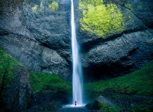
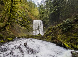
4.72.02 mi / 820 ft gainLatourell Falls is a beautiful and unique waterfall in the Columbia River Gorge in Oregon. This amazing waterfall is just a few hundred yards from the road and parking lot. Once you park, there is a viewpoint for the falls that is straight ahead. The view from there isn't that great compared to ...Read more -
Gaston, Oregon
University Falls
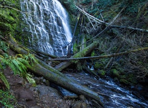
4.00.61 mi / 138 ft gainThe 0.3 mile hike to University Falls seems longer than it is because you'll be stopping to take pictures every step of the way. No, you're not in an enchanted forest, you're in the Tillamook National Forest. The waterfall you're about to find, however, certainly is enchanting. From Portland, he...Read more -
Corbett, Oregon
Bridal Veil Falls
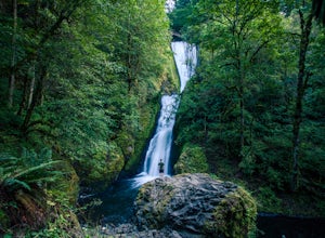
4.10.54 mi / 144 ft gainThe trailhead for this short hike is right off of the Columbia River Highway just west of Multnomah Falls. You can't miss the parking lot for it; there is a sign for Bridal Veil and the parking lot is visible from the road. The hike is only 0.6 miles and has hardly any elevation gain (70 feet). ...Read more -
Yacolt, Washington
Hike Silver Star Mountain via Grouse Vista
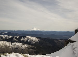
4.56 mi / 2000 ft gainThe Grouse Vista Trailhead is located through the town of Washougal off of highway 14 just past Camas. Once you leave the city, the road will turn to gravel and dirt though it is fairly well maintained until snow arrive and accessible by most cars so long as you're willing to get drive over loose...Read more -
Bridal Veil, Oregon
Angel's Rest
4.34.45 mi / 1568 ft gainThe Columbia River Gorge is absolutely full of incredible hikes - that said, this is one of the best and requires less time and energy than some of the others. Starting at a paved parking lot right off the Historic Columbia River Gorge Highway (note: it's a very popular trail so arrive early or ...Read more -
Bridal Veil, Oregon
Devil's Rest-Wahkeena Falls Loop
4.09.82 mi / 2779 ft gainThis loop takes advantage of the western Columbia River Gorge's vast network of trails - hidden behind the roadside waterfalls - to allow you to visit several popular attractions without fighting traffic along the historic highway. All told, the loop hits 3 named waterfalls (Coopey Falls, Fairy F...Read more -
Washougal, Washington
Cape Horn Trail
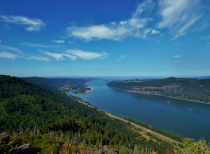
4.36.76 mi / 1795 ft gainThe Cape Horn Trail is great for those who are short on time, but still want to get outside for something close by with great views. Located just 35 min east of Portland, the Cape Horn Trail offers a few different possibilities for you to hike. The whole loop (lower section is closed from Feb 1s...Read more -
Corbett, Oregon
Hike to Upper Bridal Veil Falls
5.00.5 miAt the parking lot for Angel's Rest, turn left uphill on to Palmer Mill Road. Drive for about a mile, and park right past a tributary stream/small waterfall (pictured above) on your left that flows through a small pipe under the road. You will see a small space to park on the right. Park here and...Read more -
Timber, Oregon
Hike the Upper Salmonberry River Trail
4.112.5 mi / 1600 ft gainIf you are craving adventure and exploration in a unique hiking setting, then you have come to the right place! This is a hike where every time you turn a corner your eyes light up with excitement and your imagination runs wild. Be forewarned though…if you fear cold, dark, and creepy abandoned tr...Read more -
Tillamook, Oregon
Wilson River Trail
3.018.58 mi / 4879 ft gainThis long trail provides hikers with great views of the corridor in the Coast Range. As the trail follows public land for the most part, there are a couple sections with steady elevation gains to avoid private land: near Lees Camp and Ryan Creek. Although the trail receives some of the most rain...Read more

