Bagby Hot Springs, Oregon
Looking for the best hiking in Bagby Hot Springs? We've got you covered with the top trails, trips, hiking, backpacking, camping and more around Bagby Hot Springs. The detailed guides, photos, and reviews are all submitted by the Outbound community.
Top Hiking Spots in and near Bagby Hot Springs
-
Clackamas County, Oregon
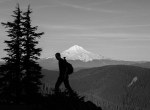
Tumala (Squaw) Mountain
4.74.51 mi / 1099 ft gainOn a clear day, this short, secluded hike offers breath-taking views of Mt. St. Helens, Mt. Rainier, Mt. Adams, Mt. Hood, and Mt. Jefferson, as well as of downtown Portland, Coast Range, and the Roaring River Wilderness. Begin the hike from the Twin Springs Trailhead and immediately take your fi...Read more -
Marion County, Oregon
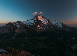
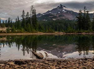
Explore Mt. Jefferson
5.0I went for a quick overnighter. The end of August is great for weather, very little bugs, and perfect time to meet and chat with PCT through hikers.The weather was absolutely perfect for night photography and lounging around camp. It's also one of the best views in Oregon if you ask me.If you're ...Read more -
Marion County, Oregon
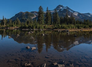
Hike Mt. Jefferson's Park Ridge
5.07.4 mi / 1500 ft gainFrom the Breightenbush Lake PCT trailhead (5,600ft Elevation) you hike through a thick forest until you reach an old burn area. This area was burned from a forest fire and has rebirthed lush green plants and bushes to help feed all the animals in the area. After a mile of climbing through the bur...Read more -
Linn County, Oregon
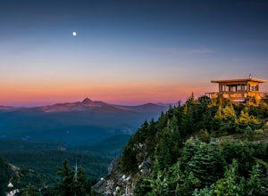
Coffin Mountain Fire Lookout
5.02.67 mi / 873 ft gainCoffin Mountain Fire Lookout is a beautiful day hike that takes you to its summit at 5771 feet elevation, covering roughly 1070 feet elevation gain. To get to the Coffin Mt. trailhead from Detroit OR, travel east on Highway 22 for approximately 19.5 miles to Forest Road 11 (Straight Creek Road)....Read more -
Idanha, Oregon
Pamelia Lake Trail
4.04.37 mi / 906 ft gainPamelia Lake Trail is an out-and-back trail that takes you by a lake located near Idanha, Oregon.Read more -
Idanha, Oregon
Hunt's Cove via Pamelia Lake Trail
14.74 mi / 3150 ft gainThis loop through the Pamelia Lake Limited Entry Area is one of the premier backpacking trips in the Mount Jefferson Wilderness. The trail offers sustained up-close views of Mount Jefferson and several lookout points provide panoramic views of the western Oregon Cascades. The several large back...Read more -
Idanha, Oregon
Hike Grizzly Peak
4.510 miAfter leaving your car at the Pamelia Lake trailhead, hike 2.3 miles along the trail following Pamelia Creek. The Grizzly Peak trailhead will be on the right just before the lake, which you should check out before or after your hike up to Grizzly Peak—there are several campsites around the lake t...Read more -
Idanha, Oregon
Hike up the South Slopes of Mount Jefferson
15 mi / 7400 ft gainSet out from Pamelia Lake Trailhead through dense old growth forest. You'll see giant cedars, mixed firs and stunning mountain streams carving their way thru very green forest. After a couple miles, you'll reach Pamelia Lake. This is a great place to grab a snack, water, take photos and camp if y...Read more -
Silverton, Oregon
South Silver Falls
5.02.14 mi / 361 ft gainSouth Silver Falls is a loop trail that takes you by a river located near Silverton, Oregon.Read more -
Silverton, Oregon
Camp in Silver Falls State Park
4.68.7 mi / 1300 ft gainIf you're thinking of hiking the Trail of Ten Falls Loop and staying overnight, there are 42 tent campsites (available from April – Oct) as well as 14 rustic cabins. With multiple beds, heat, electricity, a covered porch, and a small fridge, they provide the perfect respite after a long day of ex...Read more -
Drake Crossing, Oregon
Trail of Ten Falls Loop
4.77.16 mi / 1178 ft gainThe unique feature of South Falls, Lower South Falls, and Middle North Falls are the paths that pass behind the falls providing an amazing visual and auditory experience; however, be sure to have a good bag for your equipment to avoid water damage and a decent jacket (preferably water-resistant)....Read more -
Stayton, Oregon
Shellburg Falls
3.23.7 mi / 520 ft gainThis hike is currently closed due to fire damage. Please check the Oregon.gov website or the call the Oregon Department of Forestry (503-859-4344) for updates. The hike, including the initial 1.25 mile gravel road to the trailhead, is easy to complete within 1-2 hours and only requires a modera...Read more -
Clackamas County, Oregon
Little Crater Lake to Timothy Lake Campground
3.42 mi / 338 ft gainLittle Crater Lake to Timothy Lake Campground is an out-and-back trail that takes you by a lake located near Government Camp, Oregon.Read more -
Clackamas County, Oregon
Salmon River Trail
4.54.4 mi / 50 ft gainLargely Flat Trail4.4 Miles roundtripOld Growth ForestRiver Scouting Opportunities There are seven trailheads all off to the right of E. Salmon River Road. All are easily accessible under normal conditions. The hike meanders alongside the river, providing ample opportunities to scout the river's...Read more -
Rhododendron, Oregon
Frustration Falls
3.08.26 mi / 1854 ft gainThe hike and possible rappel to Frustration Falls begins at the Salmon River trailhead right outside of Welches, Oregon. From the trailhead you follow the trail for about 4 miles at which point you reach Canyon View (Shown in pictures 5-6 above). From the main trail this is the only view of Frust...Read more -
Rhododendron, Oregon
Devil's Peak Lookout
3.02.62 mi / 600 ft gainThe Trail: This hike is one of the 2 routes that lead to the lookout, and the shorter of the two. It requires more driving to get to the trailhead than the other, but less walking, so if that sounds appealing to you, you have come to the right place! First, you'll be greeted by a dense forest w...Read more

