Salem, Ohio
Looking for the best chillin in Salem? We've got you covered with the top trails, trips, hiking, backpacking, camping and more around Salem. The detailed guides, photos, and reviews are all submitted by the Outbound community.
Top Chillin Spots in and near Salem
-
Salem, Ohio
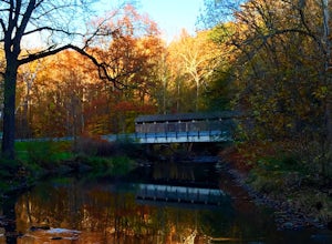
Explore the Teegarden-Centennial Covered Bridge
3.03 miHistory behind Teegarden-Centennial Covered Bridge: Teegarden-Centennial Covered Bridge was built in 1876. It was in use until 1992 and then later restored in 2003. There are over 125 historic wooden covered bridges in Ohio, and Teegarden Covered Bridge was proudly added to the National Register ...Read more -
Youngstown, Ohio
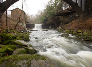
Hike the Gorge Trail Loop
5.02 miThis is a lovely 2 mile hike along Mill Creek. We parked by Lake Newport and started off on the West Gorge Trail toward the Mill. The trail itself was decent, with some rough spots, but still hike able. Make sure you go down to the Creek before you head across the covered bridge to the East Gorge...Read more -
Ellwood City, Pennsylvania
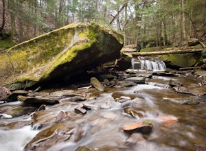
Hike to Slippery Rock Creek from Hell's Hollow
5.04.6 miThis nicely groomed trail starts at Hell's Hollow and branches off to the left. The trails total length is 24 miles long, but we chose to start off slow and go with an out and back just to the creek. This is a 2.3 mile hike one way which also has some steep inclines and a few switch backs.The sta...Read more -
Clinton, Pennsylvania
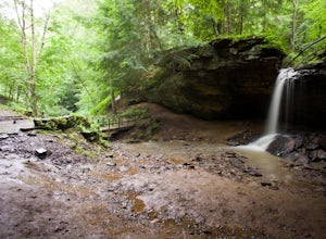
Hike the Mineral Springs Loop
4.71.2 miStarting at the Frankfort Mineral Springs parking lot, this 1.2 mile loop winds along the creek and leads you up into the waterfall and old resort area.After you reach this picture perfect spot, you can continue on the rest of the loop. This will take you through a patch of pines and down a nice ...Read more -
Portersville, Pennsylvania
Hike the Alpha Pass Trail
0.2 miPark in the lot at McConnell's Mill Rd but instead of going down the steps from the lot, walk up to the intersection of Johnson Rd and McConnell's Mill Rd. Walk toward the house that is a little down the road on McConnell's Mill Rd. You will see a trail head to your left and thats where you want ...Read more -
Northfield, Ohio
Hike up Brandywine Creek to Brandywine Falls
4.32 miYou first park in the Brandywine Falls picnic area shown there on the map. There are three ways you go can go right off the start. You want to take the trail to the left named the "Stanford Trail." The trail consists of medium to large stones that are white in color. If you see this you are o...Read more -
Northfield, Ohio
Hike to Contour Falls
4.51 miThis hike begins at the trail-head of Cuyahoga National Park. Once arrived, you will cross a bridge overlooking the Cuyahoga River. You will take the tow-path left, and follow it under the Route 82 bridge (you will pass a manmade waterfall on your right, but still have 0.4 miles to go). You will ...Read more -
Carnegie, Pennsylvania
Hike the Rainbow Loop in Settlers Cabin
3.35.5 miThere are three main trails in the park. The Green Loop (2 miles), Blue Loop (2 miles), and Purple Loop (1.5 miles). These all connect at some point so if you are looking for a little longer walk you can do all three at once. This totals a 5.5 mile loop. You can park at the tennis courts and do a...Read more

