Ohio
Looking for the best photography in Ohio? We've got you covered with the top trails, trips, hiking, backpacking, camping and more around Ohio. The detailed guides, photos, and reviews are all submitted by the Outbound community.
Top Photography Spots in and near Ohio
-
Salem, Ohio
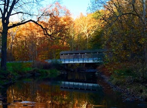
Explore the Teegarden-Centennial Covered Bridge
3.03 miHistory behind Teegarden-Centennial Covered Bridge: Teegarden-Centennial Covered Bridge was built in 1876. It was in use until 1992 and then later restored in 2003. There are over 125 historic wooden covered bridges in Ohio, and Teegarden Covered Bridge was proudly added to the National Register ...Read more -
Independence, Ohio
Watch the Sunset from Independence Pass
1.0Start in the town of either Aspen or Twin Lakes and continue on Interstate 82 to the top of Independence Pass. Along the way, keep your eyes peeled for the Ghost Town of Independence, fields of wildflowers and the occasional moose, elk or deer. Continue on to the top of the pass where you will fi...Read more -
Peebles, Ohio
Explore the Great Serpent Mound
Great Serpent Mound is easy to get to, and the museum nearby has a great little shop and display on the history of the mound and how it came to be found. One of the many interesting features of the mound itself is that it appears to have been designed in such a way as to align itself with the pat...Read more -
West Jefferson, Ohio
Hike the Darby Creek Trail
4.02.6 mi / 30 ft gainParking at the Whispering Oaks Picnic Area on the west side of the park, start on the Darby Greenway Trail and follow it north across the river until you reach the beginning of the Lake View Trail. This 0.9 mile trail takes you along the largest of the Darby Bend Lakes, and even takes you past a ...Read more -
McArthur, Ohio
Hike Lake Hope's Peninsula Trail
4.03 mi / 300 ft gainSituated in the long-forgotten coal and iron country of Ohio, Lake Hope is a beautiful combination of Ohio's rugged Appalachian foothills and tranquil shoreline.The trail starts at the trailhead parking lot right off of OH SR 278, next to the Hope Iron Furnace. The trail forms a three mile loop t...Read more -
West Union, Ohio
Hike the Buzzard Roost Trail
4.4 mi / 450 ft gainOwned and operated by The Nature Conservancy, Ohio's Edge of Appalachia Preserve is home to over 19,000 acres of protected wilderness and rugged Appalachian terrain. And the greatest prize of the preserve is none other than the Buzzards Roost.Perched atop a slab of resistant limestone roughly 500...Read more -
Cincinnati, Ohio
Visit Spring Grove Cemetery
There is a walking tour of the cemetery that you can follow that will bring you by champion trees (the largest tree of that species in the state of Ohio), around 15 scenic lakes, as well as across some bridges. The unique mausoleums and obelisks are a sight in their own and will surround you on ...Read more -
Galloway, Ohio
Hike the Darby Creek Greenway
9.6 mi / 50 ft gainStarting your hike from the Cedar Ridge Picnic Area, head north along the Darby Creek Greenway, a well-maintained gravel path that is a multi-use trail alongside cyclists and trail runners. The trail switches between a number of different settings during the 4.7 mile one-way trek, including fores...Read more -
Perrysville, Ohio
Photograph Mt. Jeez
3.0While it might not seem like much, Mt. Jeez stands 1,310' feet above sea level, making it one of the higher "peaks" in Ohio. Because of that, it's one of the few spots in the Buckeye State that allow for grand, sweeping vistas with a 270 degree view for a few miles in most directions. Originally ...Read more -
Independence, Ohio
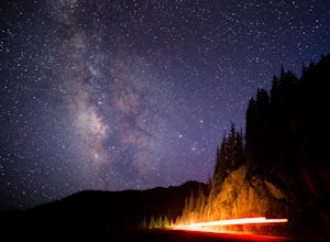
Photograph the Milky Way on Independence Pass
From Aspen CO, drive up highway 82 towards Twin Lakes and stop at the top of the pass.Once you reach the continental divide there will be a sign that says Independence Pass with an elevation of 12,095 feet. Here you can park the car for free and use the bathroom area.To photograph the milky way y...Read more -
Plain City, Ohio
Run the Ironweed Trail in Glacier Ridge Metro Park
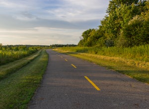
4.02.8 miFrom the main entrance on the north side of the park, the Ironweed Trail connects the northern, more wooded section of the park with the wetlands to the south. This 2.8 mile one-way trail is paved, making cycling, running, and hiking an easy activity. The topography of the park also makes it easy...Read more -
Waynesville, Ohio
Hike to Horseshoe Falls
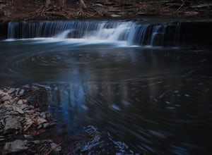
4.02.2 mi / 200 ft gainStarting from the Flat Fork Ridge Recreation Area parking lot near the dam in Caesar Creek State Park, take the trail to the right of the parking lot if you're looking towards the lake. You will hike through the woods for a short period, then emerge onto the emergency spillway from the dam which ...Read more -
Sharonville, Ohio
Hike the Sharon Woods Gorge Trail
1.8 mi / 50 ft gainSharon Woods Metro Park is located just northeast of Cincinnati in Hamilton County. To visit this park it is $3 for a day permit for residents of Hamilton County or $5 for a day permit for non-residents. When you enter the park, take the first left on the road before you cross a bridge over the ...Read more -
Bellefontaine, Ohio
Visit Campbell Hill
0.1 mi / 10 ft gainOne of the easiest of the 50 State Highpoints in the United States to visit, Campbell Hill sits just outside Bellefountaine (pronounced Bell-fountain), Ohio. Sitting on the grounds of the Hi-Point Career Center, Campbell Hill is open to visitors virtually everyday of the year during daylight hour...Read more -
Vandalia, Ohio
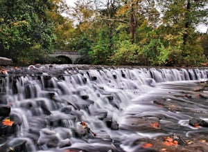
Waterfall Loop at Englewood MetroPark
5.02.25 miThis adventure begins at a parking lot within the Englewood East MetroPark, right at the trailhead for the white trail. Begin the hike into the woods, following the well-marked path through points 1 and 2. Continue straight on the white path until you hit point 7, where you will switch over to th...Read more -
Independence, Ohio
Photograph Fall Colors Along Independence Pass and Twin Lakes, CO
5.0While this is a more of a photography adventure and a fall drive to take through Colorado, there are also many areas to hike along the way. The drive can start from really anywhere in the general area. From the front range area of Colorado, head up I70 and get off toward Twin Lakes around Copper....Read more

