Wilkesboro, North Carolina
Looking for the best camping in Wilkesboro? We've got you covered with the top trails, trips, hiking, backpacking, camping and more around Wilkesboro. The detailed guides, photos, and reviews are all submitted by the Outbound community.
Top Camping Spots in and near Wilkesboro
-
Hays, North Carolina
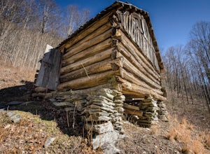
Hike along Basin Creek in Doughton Park
5.011 mi / 1800 ft gainA treasure in North Carolina that doesn't get as much attention as it should, Doughton Park has some of the best trails around. It is the largest park operated by the Blue Ridge Parkway and has over 30 miles of trails available. The parking area for the Basin Creek Trail is small, but rarely cro...Read more -
Creston, North Carolina
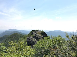
Three Top Mountain
4.2 mi / 1260 ft gainThree Top Mountain sits within the same vicinity of Elk Knob. The mountain gets its name from its three prominent rock projections at its peak. The highest point, unofficially named “Big Rock”, is at an elevation of 5020 feet. Prior to the originally named rock peak, you will arrive at Huckleb...Read more -
Blowing Rock, North Carolina
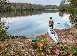
Camp and Paddle at Price Lake
This campground is all kinds of amazing, and if you get one of the sites in the A loop, you will have lakefront property (just be warned, if I see you there, I'll have to crash with you ;-). Price Lake is a gorgeous lake right off the Blue Ridge Parkway in North Carolina and perfect for canoeing...Read more -
Seven Devils, North Carolina
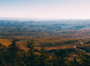
Calloway Peak via Profile Trail
7.11 mi / 2493 ft gainCalloway Peak via Profile Trail is an out-and-back trail with waterfall views located near Banner Elk, North Carolina in Grandfather Mountain State Park.Read more -
Mouth of Wilson, Virginia
Mount Rogers via Appalachian Trail
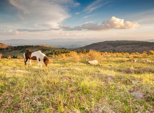
5.09.1 mi / 1549 ft gainFirst of all, who doesn't love wild ponies! There are tons of ponies here, and although they are wild, they are not afraid of people and you can get pretty close (just don't feed them!). Once you enter Grayson Highlands State Park, you will see a parking lot for Massie Gap a few miles in, par...Read more -
Mouth of Wilson, Virginia
Backpack the Grayson Highlands
4.89.1 mi / 1549 ft gainSpanning roughly 4500 acres, located in a portion of Jefferson National Forest, looming under the highest peak in Virginia lies the Grayson Highlands. A part of Virginia’s State Parks system and a United States National Landmark, located in Mouth of Wilson, Virginia, the Highlands are home to wil...Read more -
Mouth of Wilson, Virginia
Mount Rogers Loop
5.015.6 mi / 1079 ft gainFor an awesome 2-3 day trip, start hiking at the Massie Gap trailhead, which can be reached from Grayson Highlands State Park. Take the Rhododendron Trail up the ridge to connect with the AT, keeping an eye out for wild ponies in the Massie Gap area as they like to hang out here. Some of these po...Read more -
Pinnacle, North Carolina
Rock Climb at Pilot Mountain SP
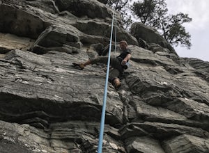
5.0Wide assortment of climbing on some of the best granite in the world. The grades range from 5.5 to 5.13 so anyone could find their level. It is a very top rope friendly climbing area. All thanks to the Carolina Climbers Coalition who regularly check and maintain all of the bolts located on all of...Read more -
Troutdale, Virginia
Hike the Appalachian Trail from Elk Garden to Buzzard Rock
5.06.6 mi / 1000 ft gainStarting at the Elk Garden Parking Area hike the Appalachian Trail south (do not cross the road, follow the trail from the parking area). Hike along the trail following the white blazes and at 2.4 miles you'll reach a campsite on your left. This is a great place to camp overnight if you decide to...Read more -
Elk Creek, Virginia
Camp at Comers Rock Recreation Area
1 miI didn't have any issues putting "Comers Rock Recreation Area" into my phone's GPS (Waze) and arriving exactly where I was supposed to. When you turn off US 21 (aka the Grayson Turnpike/Elk Creek Parkway) to Jefferson National Forest Road 57, you'll see a sign a parking lot that says "road not su...Read more -
Morganton, North Carolina
Hawksbill Mountain Trail
4.91.87 mi / 633 ft gainHidden far above the beautiful Linville Gorge stands Hawksbill Mountain, among many other fantastic hikes. The roughly 1.7 mile hike from the dusty gravel parking lot is steep but worth every step. It took me about an hour to conquer with a few water bottle-guzzling stops. At the top, you are al...Read more -
Morganton, North Carolina
Photograph Hawksbill Mountain at Sunrise or Sunset
5.01.5 mi / 860 ft gainThe trail to the summit of Hawksbill begins on an unpaved road for the Pigsah National Forest. In about a half a mile the trail turns left just before reaching the Jonas Ridge Trail. This turn is an clearly marked turn with a sign for "Hawksbill Summit". The trail then becomes steeper and rocki...Read more -
Morganton, North Carolina
Camp at the Chimneys in the Linville Wilderness
5.01 mi / 138 ft gainThe Chimneys area is a lesser-known camping destination within the Linville Wilderness. The Chimneys are a series of rock formations that rise above Linville Gorge and provide unobstructed panoramic views of the gorge and surrounding mountains. These rocks sit adjacent to Table Rock which hosts w...Read more -
Connelly Springs, North Carolina
Sawtooth Campground via Chestnut Knob Trail
5.06.18 mi / 1299 ft gainThis 6.2-mile total trip will take you through the highlights of South Mountains State Park with an overnight stay in one of the drier campsites. OPTIONAL: You can get a warm-up in by starting with a 2.5-mile loop to High Shoal Falls that you can do without packs before picking up with a 3-mile...Read more -
Connelly Springs, North Carolina
High Shoals Waterfall and H.Q. Loop Trail
4.83 mi / 1043 ft gainHigh Shoals Waterfall and H.Q. Loop Trail is a loop trail that takes you by a waterfall located near Connelly Springs, North Carolina.Read more -
Linville, North Carolina
Shortoff Mountain Summit
4.84.64 mi / 1178 ft gainStart your hike from the Shortoff Mountain Trail off of Wolf Pit Road at the base of Lake James. From the summit there is a small grassy area off a side trail that provided awesome cliff side views of the Gorge and Linville River! You can setup after making the hour and a half trek (maybe just in...Read more

