Sylva, North Carolina
Looking for the best camping in Sylva? We've got you covered with the top trails, trips, hiking, backpacking, camping and more around Sylva. The detailed guides, photos, and reviews are all submitted by the Outbound community.
Top Camping Spots in and near Sylva
-
Brevard, North Carolina
Looking Glass Rock
4.65.43 mi / 1572 ft gainThis is a really nice, moderately difficult hike along a cascading creek, up switchbacks, and through wildflower fields. A couple miles in, you'll reach a helipad that is used for rescuing injured rock climbers - Looking Glass Rock is a popular destination for world class climbing. There is a sma...Read more -
Canton, North Carolina
Camp at Mt. Pisgah
5.0The Mt. Pisgah campground is nestled right off of the Blue Ridge Parkway near Canton, NC. Since it is at an elevation of 4,980 feet the campground is a perfect destination to beat the heat and humidity that the region can be known for in the summer months. Reservations and information can be fo...Read more -
Franklin, North Carolina
Backpack the Standing Indian Loop on the Appalachian Trail
24 miBegins at the parking lot for the Standing Indian Campground. (No permits are needed to park here) For the first 3.7 miles, take Kimsey Creek Trail, which runs along the water, until you meet up with the AT at Deep Gap. Rolling hills and lots of foliage throughout, leading up to Standing Indian M...Read more -
Newport, North Carolina
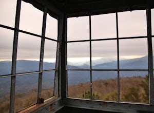
Hike to Mt. Sterling's Fire Tower
4.012 mi / 4200 ft gainOn your way in, stop at the ranger station parking lot to use the outhouses and grab a map for $1. Once at the Baxter Creek trailhead you have two options: 1. The Out and Back (12.2 miles) 2. The Loop (17 miles)Out and Back: Start on the Baxter Creek Trail and continue up for 6.1 miles until you...Read more -
Sevier County, Tennessee
Little River Trail to Backcountry Campsite #30
5.012.34 mi / 412 ft gainThe trailhead parking area is large but if no spaces are available additional parking can be had at the Jake's Creek trailhead at the top of the hill and to the right of the Little River trail parking lot. After parking, the trailhead itself will be to the left of the parking area. Parking Lot Co...Read more -
Dillard, Georgia
Hike to Rabun Bald
5.03 mi / 4696 ft gainStarting at the trailhead you begin by following the yellow blazes. The trail isn't well marked so keep an eye out for the blazes you see. The trailhead starts at the dead end of Kelsey Mountain Trail. The path immediately starts to incline and doesn't stop. A few minutes in you will come to a fo...Read more -
Mountain Rest, South Carolina
Hike to Big Bend Falls
5.06.5 miThe hike to Big Bend Falls begins on the Chattooga River Trail at the Burrell's Ford Campground. To get here you take Burrell's Ford Road off of SC 107. There will be a good sized gravel parking area off to the left about 3 miles down Burrell's Ford Road. When you park the car you can walk down t...Read more -
Brevard, North Carolina
Art Loeb Trail
4.830.07 mi / 7467 ft gainStart at The Davidson River Campground just outside of Brevard, NC (276 Pisgah Ranger District). Have a shuttle car or a friend waiting at the Daniel Boone Boy Scout camp for the finish line. Hop on the 30.1 mile long Art Loeb Trail at the trailhead in the Davidson River Campground. Pull into th...Read more -
Brevard, North Carolina
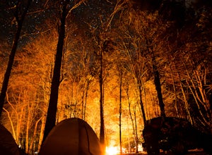
Camp at Davidson River Campground in the Pisgah National Forest
4.5Pisgah National Forest, in my opinion, is one of the best national forests in the United States. Being just a short drive from Great Smokey Mountain National Park it has all the feel of being in the smokies with more to explore. Pisgah has anything you could want to see or do from tens of water...Read more -
Sunset, South Carolina
Virginia Hawkins Falls (Double Falls)
4.02.6 mi / 456 ft gainA moderate to advanced 2.6 mile hike has many stairs and a lot of ascents and descents along the way. The hike may not be the easiest but the payoff is worth it. The trail is easily marked so no need to worry about getting lost.Read more -
Del Rio, Tennessee
Max Patch Mountain
5.01.51 mi / 315 ft gainMax Patch Mountain was once cleared for pasture land, leaving an expansive flat summit that now serves as the ideal location for a picnic hike, flying a kite, or laying in the sun surrounded by the Great Smoky Mountains. With little elevation gain and a short distance it is also very family (and ...Read more -
Salem, South Carolina
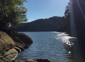
Camp on Lake Jocassee
4.7To avoid the regret of cutting your trip too short, go ahead and book a campsite. Come as a walk-in or reserve your site. Either way, you will have to check in at the Park Office. Upon check-in, you will receive your map and general information. Check-in time for camping is 2PM. The only publi...Read more -
Clayton, Georgia
Hike the James E. Edmond trail to Lookoff Mountain Overlook
4.07.5 mi / 2378 ft gainBlack Rock Mountain State Park is Georgia's highest elevation State Park. It is adorned with several waterfalls, sweeping overlooks, blooming Rhododendron's, and plenty of miles of trail. The James E. Edmond trail is the longest and by far most challenging hike in the park. Its medium-long dis...Read more -
Clayton, Georgia
Hike to Martin Creek Falls
5.00.6 miThere are two different ways to get to this waterfall.The easiest way is through a trail in the Warwoman Wildlife Management Area. To get to this trail head, drive east on Warwoman Road from Clayton, GA. At approximately 3.5 miles, take a left onto Finney Creek Road (FS 152). You will see a sign ...Read more -
Newport, Tennessee
Explore Halls Top Fire Tower
4.01 mi / 200 ft gainHalls Top Fire Tower is a special untouched spot in the Cherokee National Forest. The road that leads you into the CNF is known as Halls Top Road just a few miles off of Interstate I-40. This road will take you 4.4 miles to the next turn onto Stone Mountain Road this road is 2.1 miles to the gat...Read more -
Asheville, North Carolina
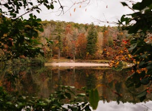
Explore Lake Powhatan
Lake Powhatan is located just minutes away from Asheville, NC and offers a number of fun activities for you, your friends, and your family. In the warm summer months, the Lake is a popular spot for swimming. The small stretch of beach along the lake is a nice place to lay out and soak in the sun....Read more

