Marshall, North Carolina
Looking for the best fitness in Marshall? We've got you covered with the top trails, trips, hiking, backpacking, camping and more around Marshall. The detailed guides, photos, and reviews are all submitted by the Outbound community.
Top Fitness Spots in and near Marshall
-
Johnson City, Tennessee
White Rock Overlook
5.02.85 mi / 876 ft gainThe White Rock trailhead is less than a 10 minute drive from downtown Johnson City. When pulling up Highbridge Road, take a left at the fork. You will shortly encounter a vehicle gate where you will park to the side of the road (do not block the yellow vehicle gate). You have the option to walk ...Read more -
Tuckasegee, North Carolina
Hike to Dill Falls
0.4 mi / 400 ft gainThe drive to this waterfall can be a little muddy when there is a lot of rain and can need an AWD or 4WD in the rain. The road has some new gravel laid in parts so it could be improved in a few months. In the summer there is also a chance of seeing large dump trucks and logging trucks, but the ro...Read more -
Hendersonville, North Carolina
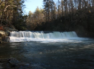
Hike to Hooker Falls
4.00.8 mi / 100 ft gainHooker Falls is located in Dupont State Forest in southern North Carolina. The hike is a great hike for kids to go on and to have a picnic. The waterfall is a beautiful waterfall that offers a great place to swim. Along the hike there are also other places you can see the river and you can swim a...Read more -
Tuckasegee, North Carolina
Hike to Cedar Cliff Rock
2.4 mi / 830 ft gainCedar Cliff Rock is one of those local places that exemplifies the Blue Ridge mountains oh-so-well. From the top you can see the Tuckaseegee River along with both Cedar Cliff and Bear Creek Reservoirs. While there are a few homes in between, much of the view is untouched, allowing a big mountain ...Read more -
Hampton, Tennessee
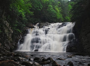
Hike to Laurel Fork Falls
4.62.6 mi / 600 ft gainFrom Hampton, Tennessee, take US-321S for about 3.5 miles. Turn right onto Dennis Cove Road and travel for 4 miles on this steep and very curvy mountain road. The trailhead is where the Appalachian Trail (AT) crosses the road at a small gravel lot on the left. Take the AT north on the trail lea...Read more -
Glenville, North Carolina
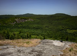
Hike to Blackrock Overlook
3 mi / 700 ft gainThis is probably one of my favorite hikes I've done in Panthertown Valley. Its also one of the easier views to access. You start from the Salt Rock Gap Parking lot, taking the Blackrock Trail (447) up Blackrock Mountain. This trail is located about 100 yards to the left if you are standing lookin...Read more -
Bryson City, North Carolina
Deep Creek Loop
5.05.01 mi / 892 ft gainAfter parking in the Deep Creek Campground parking lot follow the signs for the Deep Creek Trailhead. The Tom Branch waterfall is just .3 miles on the right side. Hike another .5 miles, at the next intersection stay right, and you will approach Indian Creek Falls. After viewing the falls you ca...Read more -
Sylva, North Carolina
Hike to Cowee Bald Fire Tower
4.4 mi / 400 ft gainThe Cowee Bald Fire Tower is located in the Nantahala National Forest near Bryson City North Carolina. To get there you can either drive almost all the way to the top about .2 miles from the top but to get there you will need to have a 4WD or a higher clearance vehicle to cross a small stream. Ho...Read more


