Mars Hill, North Carolina
Top Spots in and near Mars Hill
-
Bakersville, North Carolina
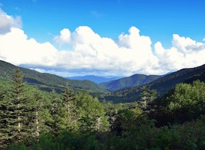
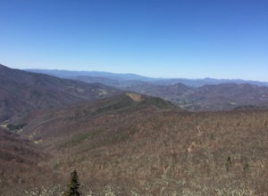
Starting from the Carver Gap Parking area (do not leave belongings visible in your vehicle) head North on the Appalachian Trail (cross the road and head up the hill past the kiosk). Stay on the Appalachian Trail for 5.5 miles climbing across open balds and treking through forests and wildflower p...
Read more
-
Bakersville, North Carolina
5.0
6.98 mi
/ 1204 ft gain
Appalachian Trail: Carvers Gap to Roan Mountain is an out-and-back trail near Bakersville, North Carolina. This trail is not too crowded, so don't be surprised if you're the only one taking in the view. Keep in mind the 1200+ foot climb along this trail if you're accustomed to hiking a longer dis...
Read more
-
Roan Mountain, Tennessee
5.0
15.47 mi
/ 2598 ft gain
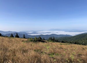
The Roan highlands, possibly one of the best sections of the Appalachian Trail, is a section of grassy balds that range from 5000-6000 feet following the A.T.
Start at Carvers Gap ( Highway 261 NC / Highway 143 TN) on the TN/NC border. You can either leave a car at Highway 19E or arrange for a s...
Read more
-
Roan Mountain, Tennessee
4.8
2.64 mi
/ 581 ft gain
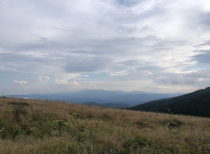
This journey begins at Carvers Gap, on the border of North Carolina and Tennessee. At a beginning elevation of 5512 ft. you will cross the road from the parking area to the trailhead, on the Appalachian Trail, northbound. The trail climbs gently through grasslands and rhododendron before enter...
Read more
-
Roan Mountain, Tennessee
Hughes Gap to Roan High Bluff is an out-and-back trail that provides a good opportunity to view wildlife located near Bakersville, North Carolina.
Read more
-
Canton, North Carolina
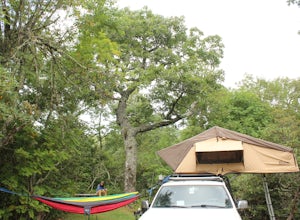
The Mt. Pisgah campground is nestled right off of the Blue Ridge Parkway near Canton, NC. Since it is at an elevation of 4,980 feet the campground is a perfect destination to beat the heat and humidity that the region can be known for in the summer months. Reservations and information can be fo...
Read more
-
Newport, North Carolina
On your way in, stop at the ranger station parking lot to use the outhouses and grab a map for $1. Once at the Baxter Creek trailhead you have two options: 1. The Out and Back (12.2 miles) 2. The Loop (17 miles)Out and Back: Start on the Baxter Creek Trail and continue up for 6.1 miles until you...
Read more
-
Newport, North Carolina
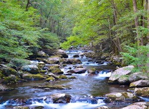
Follow Big Creek Trail on a moderate climb to this 45-foot waterfall. Around 1.3 miles in, you will begin to hike alongside Big Creek, and shortly afterwards you will pass Midnight Hole, a particularly deep pool. There are a number of other small falls en route. In spring you should see a number ...
Read more
-
Johnson City, Tennessee
Lone Oak to Tip Top Trail is an out-and-back trail where you may see beautiful wildflowers located near Johnson City, Tennessee.
Read more
-
Waynesville, North Carolina
History, solitude and wildlife abound in this quiet corner of Great Smoky Mountains National Park, but getting here is not easy. Take the scenic route via Cove Creek Road from Cosby, TN. Drive 40 miles along the twisting, gravel road to Cataloochee, NC. The scenery along the way is outstanding, b...
Read more
-
Lake Lure, North Carolina
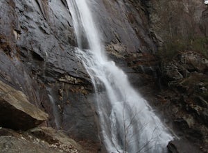
This waterfall is located inside of the Chimney Rock State Park. There is a fee of 15 dollars to go to the State Park but it is very worth it because of the beautiful scenery and beautiful views. The hike to the waterfall is partially uphill on the way. When you get to the waterfall there are a f...
Read more
-
Lake Lure, North Carolina
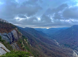
Chimney rock is a beautiful slab of weather granite that is visible from miles around. To get to this hike you'll want to head to Lake Lure in North Carolina, a beautiful lake located in the mountains of western North Carolina. Follow the signs for Chimney Rock and take the switchback road up t...
Read more
-
Lake Lure, North Carolina
5.0
2.98 mi
/ 1204 ft gain
Exclamation Point and Skyline Trail to Hickory Nut Falls is an out-and-back trail that takes you by a waterfall located near Chimney Rock, North Carolina.
Read more
-
Canton, North Carolina
This is an extremely easy trail with a minimal incline. The tower, built in 1941, standing 70 feet above the summit, can be nerve wracking, even for those who aren't scared of heights. However, most feel it's worth the view. Expect to see fellow hikers. On pretty days there can be a few people w...
Read more
-
Lake Lure, North Carolina
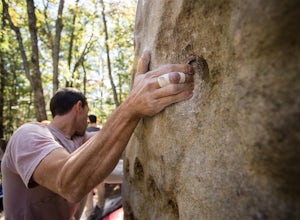
Located off of Boys Camp Rd. in Lake Lure, North Carolina, Rumbling Bald is a huge boulder yard that has been in use since the 1970's and has begun to flourish. Conveniently at the trail head is a gravel parking lot with three Port A Johns to use. Make sure you get to the parking lot early thou...
Read more
-
Lake Lure, North Carolina
4.5
2.4 mi
/ 1549 ft gain
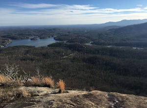
This hike is a strenuous 2.4 miles that takes about 1.5 hours to complete. The trail is not maintained--it is an old logging road--so there are lots of loose rocks and you frequently have to hop over the washout/creek. However, the difficulty on the way up is extremely rewarding at the top!The tr...
Read more

