Lake Toxaway, North Carolina
Top Spots in and near Lake Toxaway
-
Gatlinburg, Tennessee
4.9
7.83 mi
/ 2190 ft gain
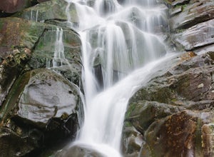
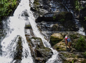
This multi-tiered waterfall is known as the tallest in the park – a worthwhile reward for the steep and sometimes tricky terrain you'll face on the way up.
The popular route to the falls also passes through an impressive old-growth forest, which apparently boasts some of the tallest trees in the...
Read more
-
Lake Lure, North Carolina
4.5
2.4 mi
/ 1549 ft gain
This hike is a strenuous 2.4 miles that takes about 1.5 hours to complete. The trail is not maintained--it is an old logging road--so there are lots of loose rocks and you frequently have to hop over the washout/creek. However, the difficulty on the way up is extremely rewarding at the top!The tr...
Read more
-
Gatlinburg, Tennessee
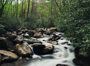
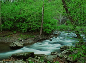
Take Porters Creek Trail, a gravel road alongside Porters Creek. You will pass by an old farmstead and cemetery, as well as lots of wildflowers if you're out during the spring.
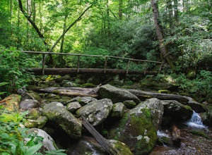
In a mile, keep left, then in another half mile or so you should cross over a small (and somewhat harrowing) footbridge...
Read more
-
Cosby, Tennessee
Hidden in the eastern reaches of Great Smoky Mountains National Park, the Cosby region receives a fraction of the visitation of Gatlinburg or Cherokee. This section of the park preserves some of the best deciduous old-growth forest in the eastern United States. Individual tulip trees and eastern ...
Read more
-
Del Rio, Tennessee
3.0
14.06 mi
/ 2966 ft gain
Make a weekend trip from Max Patch to Hot Springs N.C., and be sure to soak in the natural hot springs at the old inn after your hike! This is an incredible, relatively easy hike with the reward at the end being hot springs on the French Broad River. You can break this up however you like, this i...
Read more
-
Gatlinburg, Tennessee
5.0
1.83 mi
/ 585 ft gain
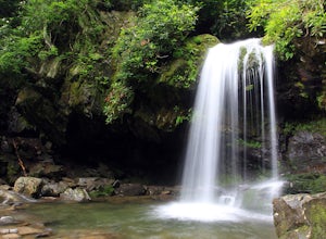
This is an intermediate hike along Trillium Gap Trail. There are four stream crossings on your way to the falls as you hike through an idyll, often wildflower-sprinkled landscape. Late spring is best for catching blooms. Once at the waterfall, you can walk behind the cascade of water.
This is a ...
Read more
-
Gatlinburg, Tennessee
Quilliam Cave via Courthouse Rock Trail is an out-and-back trail that takes you by a river located near Gatlinburg, Tennessee.
Read more
-
Gatlinburg, Tennessee
4.5
13.37 mi
/ 3993 ft gain
Begin at the Rainbow Falls trail parking lot. This is very popular area especially in the summer. If the parking area at the trail head is full there is additional parking located just past the main lot. From here the Rainbow Falls trail is just under 14 miles to the summit of Mount Leconte. Elev...
Read more
-
35.675929,-83.485764
This 6 mile drive is a great way to spend a scenic day in the Smokies. The road is open to cars only (no trucks or RVs) and runs one-way. There are no visitors centers after you head out, so be sure to bring everything you need along.
The drive begins at the historic Ogle farmstead, which is als...
Read more
-
Hartford, Tennessee
The Pigeon River is a dam controlled river that winds its way through North Carolina and Eastern Tennessee just outside Great Smoky Mountains National Park. The river provides beautiful views as one paddles along via raft or kayak.
Cutting through portions of the Pisgah and Cherokee National For...
Read more
-
Hiawassee, Georgia
4.8
2.45 mi
/ 479 ft gain
Located just a few miles north of Helen, Georgia is this hidden gem. The road that leads up to the starting point of the hike is a bit tricky to find so make sure you have your GPS to help a little, its a gravel road that winds up the mountain for a about a mile.
The dirt trail winds down throug...
Read more

