Hot Springs, North Carolina
Top Spots in and near Hot Springs
-
Brevard, North Carolina
4.3
1.28 mi
/ 223 ft gain
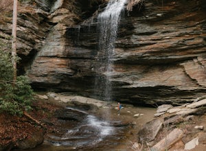
The hike relatively quick and has minimal elevation gain, making it a great hike for the family or a quick stop off if you're planning to do another hike in the same day. This part of the Pisgah National Forest is filled with scenic hikes.
Once you've parked your car, cross over the stream via a...
Read more
-
Balsam Grove, North Carolina
4.7
0.85 mi
/ 246 ft gain
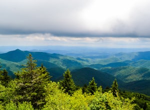
The Devil's Courthouse Overlook and Trail can be one of the best places to see the entire Blue Ridge countryside. Even though it is a short hike, there is a fairly steep incline halfway through, so be prepared to huff and puff a little. It takes anywhere from 15 to 20 minutes depending upon your ...
Read more
-
Brevard, North Carolina
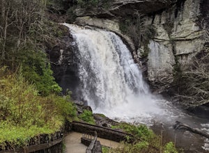
Looking Glass Rock located along the Blue Ridge Parkway (North) is one of the largest masses of granite in the Eastern US. It got it's name for the way the sunlight hits its rocky surface when wet, creating a shimmering, reflective, mirror-like effect. The views from this overlook are vast and cl...
Read more
-
Spruce Pine, North Carolina
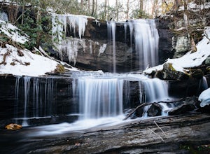
Grassy Creek Falls is a beautiful waterfall that lies on private property just north of Little Switzerland's downtown area. The trailhead is easy to find. From Little Switzerland simply go under the Blue Ridge Parkway and the driveway is immediately on the right. You will park at the top of the...
Read more
-
Bakersville, North Carolina
The AT from Carver's Gap to HWY 19 is about 14.5 miles, but with side adventures, it could be roughly 20 miles. The trail crosses the road and continues up about a 400 ft. elevation gain to the first of the balds. This section of the AT is beautiful at near 6000 ft. above sea level and you will g...
Read more
-
Bakersville, North Carolina
5.0
2.46 mi
/ 276 ft gain
Cloudland Trail is an out-and-back trail offering up expansive views of the surrounding area especially from Roan Bluff. This trail is located near Bakersville, North Carolina.
With minimal ups and downs, this makes for a decent family-friendly option. The trail is also dog friendly on-leash.
Read more
-
Brevard, North Carolina
4.6
5.43 mi
/ 1572 ft gain
This is a really nice, moderately difficult hike along a cascading creek, up switchbacks, and through wildflower fields. A couple miles in, you'll reach a helipad that is used for rescuing injured rock climbers - Looking Glass Rock is a popular destination for world class climbing. There is a sma...
Read more
-
Gatlinburg, Tennessee
Quilliam Cave via Courthouse Rock Trail is an out-and-back trail that takes you by a river located near Gatlinburg, Tennessee.
Read more
-
Roan Mountain, Tennessee
Hughes Gap to Roan High Bluff is an out-and-back trail that provides a good opportunity to view wildlife located near Bakersville, North Carolina.
Read more
-
Brevard, North Carolina
This 5 mile loop begins at the Pisgah Center for Wildlife Education and State Fish Hatchery near Brevard, NC. Ample parking is available adjacent to the trailhead with bathrooms and water accessible. Grab a map from inside as well.
To start the hike, look at the education center, to the left is t...
Read more
-
Gatlinburg, Tennessee
You will find the trailhead to this gravel path just to the left of the Sugarlands Visitor Center. The easy walk along Fighting Creek is scenic and tends not to be crowded, either.
At the end of the hike you will find a beautiful 25-foot waterfall. Please refrain from climbing on or around the f...
Read more
-
-
Church Hill, Tennessee
5.0
3.96 mi
/ 712 ft gain
Laurel Run Trail is an out-and-back trail that takes you by a waterfall located near Church Hill, Tennessee.
Read more
-
Tuckasegee, North Carolina
The drive to this waterfall can be a little muddy when there is a lot of rain and can need an AWD or 4WD in the rain. The road has some new gravel laid in parts so it could be improved in a few months. In the summer there is also a chance of seeing large dump trucks and logging trucks, but the ro...
Read more
-
Brevard, North Carolina
4.8
30.07 mi
/ 7467 ft gain
Start at The Davidson River Campground just outside of Brevard, NC (276 Pisgah Ranger District). Have a shuttle car or a friend waiting at the Daniel Boone Boy Scout camp for the finish line.
Hop on the 30.1 mile long Art Loeb Trail at the trailhead in the Davidson River Campground. Pull into th...
Read more
-
Brevard, North Carolina
Pisgah National Forest, in my opinion, is one of the best national forests in the United States. Being just a short drive from Great Smokey Mountain National Park it has all the feel of being in the smokies with more to explore. Pisgah has anything you could want to see or do from tens of water...
Read more

