Hot Springs, North Carolina
Looking for the best photography in Hot Springs? We've got you covered with the top trails, trips, hiking, backpacking, camping and more around Hot Springs. The detailed guides, photos, and reviews are all submitted by the Outbound community.
Top Photography Spots in and near Hot Springs
-
Montreat, North Carolina
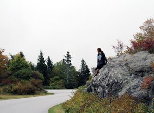
Hike Lookout Mountain, Montreat
5.01.1 mi / 623 ft gainNestled in the Blue Ridge Mountains is Montreat, North Carolina. Just down the road from Asheville, it neighbors Black Mountain and doesn't disappoint for views. Montreat itself houses a plethora of hiking trails, but the cream of the crop HAS to be Lookout Mountain. After a weekend of checking o...Read more -
Cherokee, North Carolina
Mingo Falls
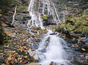
4.20.22 mi / 148 ft gainAlthough it is not much of a hike at just 0.3 miles, it is accessible to people of all fitness levels. A climb up a series of stairs leads you to a trail overlooking Mingo creek. You will then find a 20 foot wide bridge which serves as the viewing platform of the falls. If you care to advent...Read more -
Old Fort, North Carolina
Green Knob Lookout Tower
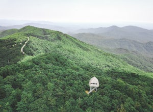
4.80.76 mi / 292 ft gainGreen Knob Lookout Tower is an abandoned fire tower near Mt. Mitchell and located directly off the Blue Ridge Parkway. The tower boasts a full 360-degree, unobstructed view of Mt. Mitchell, Craggy Mountains, Table Rock, Grandfather Mountain, and the Parkway. Unlike most fire towers, this tower is...Read more -
Canton, North Carolina
Shining Rock via Shining Creek Trail
4.38.69 mi / 2569 ft gainThere are several ways to access the Shining Rock Wilderness Area, but go for the main trail head off of Hwy 276. The trail is split by the Pigeon River, providing a seemingly infinite combinations of trails and routes, keeping in mind that this area intersects often with the well known Art Lobe ...Read more -
Bryson City, North Carolina
Kephart Prong Trail, Great Smoky Mountains NP
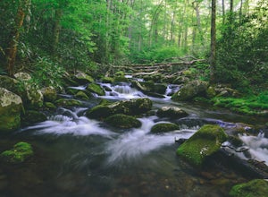
5.03.92 mi / 850 ft gainKephart Prong is a pretty easy hike in close proximity to the Visitor Center on the North Carolina Side of GSMNP. 2 miles up the trail, you'll arrive at Kephart Shelter, where you can rest and enjoy vies of the Kephart Prong. Once you've had your fill, head back down the way you came. During th...Read more -
Burnsville, North Carolina
Roaring Fork Falls
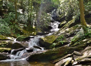
1.31 mi / 249 ft gainPark at the work center but don't block the gate. Hike around the gate and head up the grassy and gravel road. Once you get to the creek a narrow path leads upstream to the base of the falls. gps: n35 46.101/ w82 11.713Read more -
Cherokee, North Carolina
Drive the Blue Ridge Parkway from the Southern Terminus
5.0The pinpoint for this particular entrance starts just outside of Cherokee, North Carolina, following the Parkway North. They say the Blue Ridge Parkway is more than just a road, it's a beautiful journey. Start this journey and you will quickly find this to be true. This 469 mile gateway connects...Read more -
Johnson City, Tennessee
Sunset Point
5.00.65 mi / 223 ft gainSunset Point is an overlook located in Buffalo Mountain State Park. The trail is a short hike up along the White Rock loop trail then a short walk off the trail to get to the overlook. There is a clearing with a few benches that has wide open views to the west. The short hike up to the point shou...Read more -
U.S. 441, Tennessee
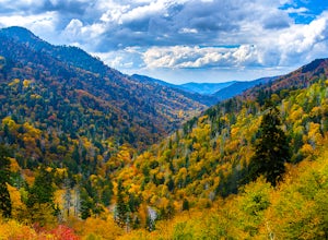
Photograph the Smokies from Morton Overlook
4.3The Morton Overlook is one of the Great Smoky Mountains National Parks most well known and visited overlooks. Morton offers a wide view of the Great Smoky Mountains and is a perfect spot for some really good photography opportunities. Coming from Gatlinburg, TN it is roughly 13 miles from the vis...Read more -
Gatlinburg, Tennessee
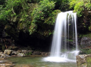
Grotto Falls Trail
5.01.83 mi / 585 ft gainThis is an intermediate hike along Trillium Gap Trail. There are four stream crossings on your way to the falls as you hike through an idyll, often wildflower-sprinkled landscape. Late spring is best for catching blooms. Once at the waterfall, you can walk behind the cascade of water. This is a ...Read more -
Canton, North Carolina
Photograph Sunburst Falls
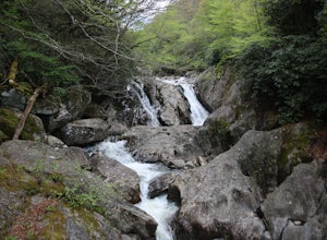
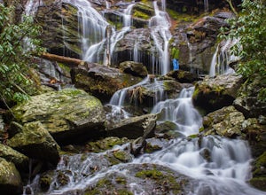
This waterfall is right off the side of the road on NC 215. NC 215 is straight off of the blue ridge parkway and is just north of Brevard. The waterfall has to main parts one that is above the road and one that is below. The part below the road is the most scenic and the easiest to walk too. The ...Read more -
Gatlinburg, Tennessee
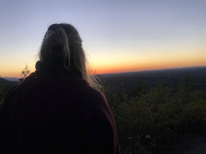
Catch a Sunrise at Newfound Gap
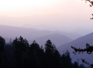
5.0Newfound Gap is a mountain pass in Great Smoky Mountains National Park. Newfound Gap is accessible via U.S. Route 441 from Gatlinburg, TN or Cherokee, NC. You can watch the sunrise from the parking lot at Newfound Gap or the viewing platform adjacent to the parking lot.At sunrise, layers of pink ...Read more -
Gatlinburg, Tennessee
Hike to Clingman’s Dome via Newfound Gap
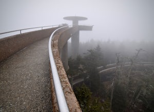
4.516.6 mi / 1600 ft gainThis route to Clingmans Dome is available throughout the year. But during the winter months from December 1 through March 31, the 7-mile Clingman’s Dome Road that branches off Highway 441 at Newfound Gap, stays closed. This means the usual drive to the parking area located just a half mile below ...Read more -
Gatlinburg, Tennessee
Mount LeConte Lodge via the Boulevard Trail
15.95 mi / 3000 ft gainBegin your adventure by arriving at the Newfound Gap parking lot - before first light. Why? Because you won't want to miss the incredible sunrise from the parking lot - even before you step foot on the trail! It is said that a hiker will never get overly warm hiking the Boulevard to Leconte due ...Read more -
Old Fort, North Carolina
Catawba Falls
4.82.19 mi / 394 ft gainPlease note, Catawba Falls is temporarily closed. You can learn more about updates at www.fs.usda.gov. This quick and relatively easy hike is located close to Asheville, NC. If you're looking to have the trail to yourself, it can be a little tough. It's best to get there as early as possible or ...Read more -
Gatlinburg, Tennessee
Charlies Bunion via Appalachian Trail
5.04.32 mi / 1640 ft gainFrom the Sugarlands Visitor Center near Gatlinburg, drive approximately 13 miles south on Newfound Gap Road to reach the Newfound Gap Parking Area (it'll be on your left). The parking area is free and there are bathrooms. Follow the Appalachian Trail towards Katahdin, Maine (1972 miles away, woah...Read more


