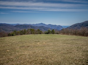
Green Mountain, North Carolina
Top Spots in and near Green Mountain
-
-
-
Asheville, North Carolina
The Martin Luther King Jr Park includes a large multi-purpose field as well as a playground that's great for kids. It's the perfect place to go solo to clear your head and chill with a book or with family and friends for an outdoor game.
Right at the entrance to the Park stands a statue of Mart...
Read more
-
Asheville, North Carolina
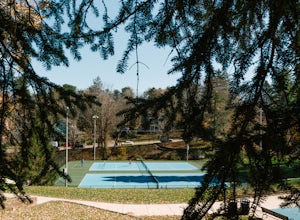
Close to downtown and in between several bed and breakfasts in Montford, NC, you'll find Montford Park. Though you may not expect it, the park boasts a couple of tennis courts, a basketball court, and some green space for picnicking, relaxing with friends, or getting lost in a good book.
People...
Read more
-
Asheville, North Carolina
If you're in Asheville, it'll be quite difficult to miss out on going to or at least hearing about Pack Square Park. The park is bustling with activity as it's a common, middle ground place for people to meet up, to take a lunch break, or to catch some rays of sun on a warm day. It's also a commo...
Read more
-
Bluff City, Tennessee
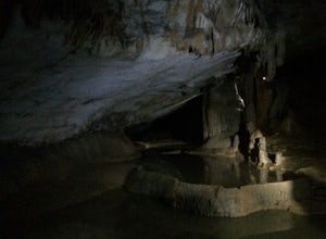
Worley’s Cave, also known as Morrill Cave, lies just outside of Boone across the Tennessee border. It is the second longest cave in the state of Tennessee at a whopping 4.4 miles in total length. It is a non-lit cavern that’s path is lit only by those who venture in its depths (i.e. headlamps, la...
Read more
-
Elizabethton, Tennessee
From TN 91, turn onto Panhandle Road. Follow Panhandle for 1 mile and park in the parking lot to the left.
Waterfall
Follow the path to your right downwards until you encounter wooden stairs. The main waterfall will be to your right less than .1 mile from the parking lot. There are two other wat...
Read more
-
138 Silver Mine Road, North Carolina
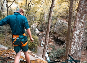
Lovers Leap Loop trail is a 1.8 mile loop in Hot Springs, NC. The address of the trailhead is 138 Silver Mine Rd, Hot Springs, NC 28743. Once you arrive at the parking lot, you will see a trail leading up into the mountain with a post next to it. This is where you want to begin. It is part of the...
Read more
-
Bluff City, Tennessee
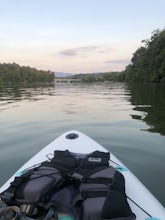
There is a mud parking area on Lakeview Drive underneath the 11E bridges with a cleared mud parking area with access to the the South Fork of the Holston River. There is a gradual drop to the water where kayaks, canoes, or SUPs can be placed in the water. To the east, the river is more narrow at ...
Read more
-
Asheville, North Carolina
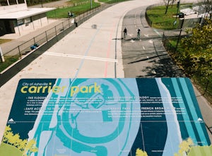
If you're in Asheville, NC and want a fun place to be outside, buzzing with activity-- you'll need to check out Carrier Park. Here, you can run along the trails, bike in the Velodrome (former race track), launch your kayak or inner tube from one of the free launches, hammock from a tree, do yoga ...
Read more
-
Elizabethton, Tennessee
5.0
2.44 mi
/ 1302 ft gain
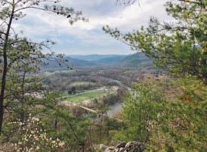
Flint Mill Trail is an approximately 2.4 mile out-and-back trail in the Cherokee National Forrest. The trailhead is located on Flatwoods Road in Elizabethton, TN. The trail has a rather steep incline and is considered challenging. There is a 1,264 foot altitude change from the base to the top . T...
Read more
-
Black Mountain, North Carolina
Eagle Rock is located in Chimney Rock State Park and is a hot spot for climbers and hikers!
The hike to the overlook at Eagle Rock is 0.4 miles, and it's one of the most bang-for-your-buck trails in the area. We love to picnic out on the rock as it's in the sun most of the day. If you decide to...
Read more
-
Colonial Heights, Tennessee
Patrick Henry Reservoir in Warriors Path State Park is a great location for kayaking, canoeing and stand up paddling. The reservoir is not always very clean, but it can still be very beautiful when you're on the water. In the Summer and Fall, the trees are beautiful to view. There is also a small...
Read more
-
Bristol, Tennessee
5.0
1.45 mi
/ 157 ft gain
The Bouton Trail Loop is an approximately 1.5 mile round trip on TVA land. There is a gravel parking lot with an information sign and trail map. Sections of the trail are gravel and sections are dirt. There are multiple places along the trail that cut off and lead down to the river for prime fish...
Read more
-
Bristol, Tennessee
5.0
2.16 mi
/ 194 ft gain
The Emmett Trail is one of the TVA South Holston Tailwater Trails. This trail began as a footpath created by anglers. The trail now has gravel, which makes for easier access for families and pets. The trailhead begins on Piney Hill Road where it the traverses down to the waters edge and leads to ...
Read more
-
Fairview, North Carolina
Park along the road at Bearwallow Gap - this is also the parking area for Bearwallow Mountain. Starting at a little over 3600ft, the Trombatore Trail has been well marked by the Carolina Mountain Land Conservancy with red blazes. Parts of the trail border private land, so pay attention to the sig...
Read more

