Cullowhee, North Carolina
Top Spots in and near Cullowhee
-
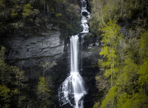
Cleveland, South Carolina
4.5
7.76 mi
/ 2185 ft gain
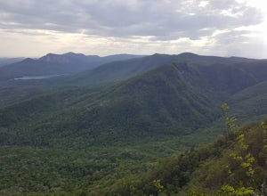
Location: From the intersection of US276 & SC11, head Northwest on US276. Drive to the top of the mountain, 1 mile past the visitor's center, and The Raven Cliff Falls Parking Area and trail head will be on your right.
After parking in the Raven Cliff Falls Parking Area, the trailhead is l...
Read more
-
Asheville, North Carolina
Bent Creek is my favorite Mountain Biking spot in the Southeast, and epitomizes the fun and beauty to be found biking in the North Carolina mountains. Riding is open year round, but spring and fall are ideal when temperatures are still cool and colors are exploding. You can easily spend hours ...
Read more
-
Sevierville, Tennessee
4.3
2.45 mi
/ 314 ft gain
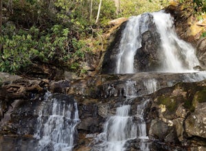
This straightforward, yet scenic hike follows a paved trail to the falls, which is among the most popular in the park.
This trail can be especially crowded during the summer, so be sure to arrive early. Keep an eye out for a few steep drop-offs on either side of the trail along the way. There ha...
Read more
-
Clayton, Georgia
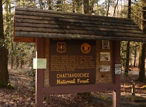
Tallulah River Campground is located in the Chattahoochee-Oconee national forest. It is just outside of Clayton, Georgia. The campground has about 15 spots that are big enough for a small to medium sized RV. Each camping spot also has a nice tent pad for a big tent. Most spots are also on the riv...
Read more
-
Pickens, South Carolina
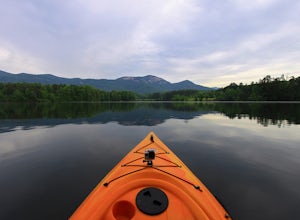
Part of Table Rock State Park, Lake Oolenoy is a 67-acre lake providing private boat access for kayaks, canoes, or small boats with electric trolling motors.To get to the boat ramp, when traveling on scenic Highway 11, turn Sah Ka Na Ga View Road on the opposite side of the road as the Table Rock...
Read more
-
Cedar Mountain, North Carolina
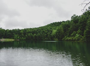
Fawn Lake sits on the backside of DuPont State Forest, about a 15 minute drive from the High Falls Parking/ Visitor Center as well as Hooker Falls parking lots. With easy access and easy terrain, this is a must see to add to the list.
While sometimes the main parking lots and trails of DuPont can...
Read more
-
Cleveland, South Carolina
5.0
0.27 mi
/ 144 ft gain
The Drive: Head North on SC Highway 11 "Cherokee Foothills Scenic Highway" towards Table Rock State Park. Follow SC 11 past Table Rock approximately 8 miles where it will merge with SC 8 at Pumpkin Town. Follow SC 8 for another 3-4 miles until you see the intersection for SC Highway 276 on the le...
Read more
-
Arden, North Carolina
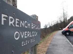
The French Broad Overlook is one of several overlook spots along the Blue Ridge Parkway. It's not known to be the most breathtakingly scenic spot of the batch, but it's still a nice viewpoint that will offer you sights of the French Broad River, one of the few north flowing rivers in the US.
Yo...
Read more
-
Upper Tremont Road, Tennessee
4.5
7.21 mi
/ 1140 ft gain
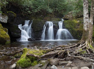
One of the best trails in the Smokies is the Middle Prong Trail. The trail passes three major waterfalls, in addition to numerous smaller falls, cataracts and cascades.
Once you've parked, you'll start at the trail head and immediately see your first cascade. From the trailhead hikers will cro...
Read more
-
Hartford, Tennessee
The Pigeon River is a dam controlled river that winds its way through North Carolina and Eastern Tennessee just outside Great Smoky Mountains National Park. The river provides beautiful views as one paddles along via raft or kayak.
Cutting through portions of the Pisgah and Cherokee National For...
Read more
-
150 Asbury Drive, South Carolina
The trail to the Matthews Creek cable bridge crossing is easy. The cable crossing is fine - fun for some and a do-able challenge for others.
After the creek, to get to Moonshine Falls, turn RIGHT at the post which indicates a trail both left and right. This is the Naturaland Trail in Caesars Hea...
Read more
-
Walhalla, South Carolina
From Walhalla South Carolina, follow SC 28 westward 7 miles until you see Stumphouse Tunnel Park on the right-hand side of the road. Take this road halfway down, and park in the parking area on the right.
From here, you can travel a short walk to the falls overlook, or, for the more adventurous ...
Read more
-
Walhalla, South Carolina
Once you have turned into the picnic area off of Highway SC 28, you will see the open and easy parking area. The trail begins at 2 points on the southern end of the parking area. These 2 points form a small loop about 0.2 miles long, with a spur in the middle of the loop onto the main yellow bran...
Read more
-
Cleveland, South Carolina
Getting there
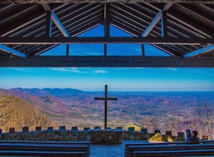
Fred W. Symmes (aka Pretty Place) Chapel is perched near the
top of Standing Stone Mountain at 3000 feet above sea level. That being said,
expect a long and winding drive up the mountain. It takes about 30 minutes
starting from the bottom of the mountain to arrive to the chapel.
Th...
Read more
-
Del Rio, Tennessee
5.0
1.51 mi
/ 315 ft gain
Max Patch Mountain was once cleared for pasture land, leaving an expansive flat summit that now serves as the ideal location for a picnic hike, flying a kite, or laying in the sun surrounded by the Great Smoky Mountains. With little elevation gain and a short distance it is also very family (and ...
Read more
-
Fontana Dam, North Carolina
5.0
8.84 mi
/ 2605 ft gain
Your Shuckstack adventure starts at the Fontana Dam outside of Bryson City, NC. As the highest dam East of the Rocky Mountains, it's a sight on its own. This will be your last chance to fill up water bottles and use the restroom so take advantage.
You can leave on foot from the dam and continue ...
Read more

