Cullowhee, North Carolina
Looking for the best hiking in Cullowhee? We've got you covered with the top trails, trips, hiking, backpacking, camping and more around Cullowhee. The detailed guides, photos, and reviews are all submitted by the Outbound community.
Top Hiking Spots in and near Cullowhee
-
Bryson City, North Carolina
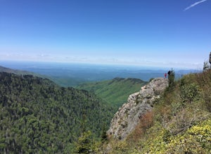
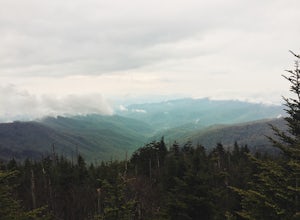
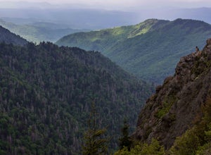
Charlies Bunion via Kephart Loop
14.14 mi / 3671 ft gainCharlies Bunion via Kephart Loop is a loop trail located near Cherokee, North Carolina. This is a longer version of the Charlies Bunion hike starting from the Newfound Gap parking lot. The added benefit of this longer loop is the opportunity to see more of the Great Smokey Mountains! You'll pass ...Read more -
Bryson City, North Carolina
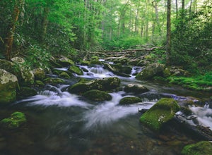
Kephart Prong Trail, Great Smoky Mountains NP
5.03.92 mi / 850 ft gainKephart Prong is a pretty easy hike in close proximity to the Visitor Center on the North Carolina Side of GSMNP. 2 miles up the trail, you'll arrive at Kephart Shelter, where you can rest and enjoy vies of the Kephart Prong. Once you've had your fill, head back down the way you came. During th...Read more -
Cashiers, North Carolina
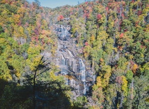
Explore Whitewater Falls
4.00.5 mi / 100 ft gainWhitewater Falls is the highest waterfall east of the Rocky Mountains with the upper falls alone dropping over 400 feet. The walk to the falls is very short and friendly for all ages and abilities - the path is paved so the falls are wheelchair accessible. The falls are beautiful in all seasons b...Read more -
Brevard, North Carolina
Hike to John Rock
5.05 mi / 1000 ft gainThis 5 mile loop begins at the Pisgah Center for Wildlife Education and State Fish Hatchery near Brevard, NC. Ample parking is available adjacent to the trailhead with bathrooms and water accessible. Grab a map from inside as well. To start the hike, look at the education center, to the left is t...Read more -
Bryson City, North Carolina
Southern Smokies: Fontana Lake to Clingman's Dome
4.520.39 mi / 5750 ft gainThis is a strenuous (though not technical) hike that really showcases the forests, creeks, and (eventually) the highest point of Great Smoky Mountains National Park. As this is a point-to-point route, you will want to have two vehicles - one that you can leave at Clingman's Dome and one that you ...Read more -
Franklin, North Carolina
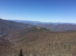
Wesser Bald Fire Tower
4.72.36 mi / 807 ft gainThe road leading to the trailhead is rough the last mile, but doable in any car. Just make sure to take it easy going up and be careful, especially if there has been any rain or snow. You will have reached the parking area for the hike once you see a large green Appalachian trail sign and a few...Read more -
Brevard, North Carolina
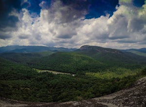
Looking Glass Rock
4.65.43 mi / 1572 ft gainThis is a really nice, moderately difficult hike along a cascading creek, up switchbacks, and through wildflower fields. A couple miles in, you'll reach a helipad that is used for rescuing injured rock climbers - Looking Glass Rock is a popular destination for world class climbing. There is a sma...Read more -
Brevard, North Carolina
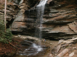
Moore Cove Falls
4.31.28 mi / 223 ft gainThe hike relatively quick and has minimal elevation gain, making it a great hike for the family or a quick stop off if you're planning to do another hike in the same day. This part of the Pisgah National Forest is filled with scenic hikes. Once you've parked your car, cross over the stream via a...Read more -
Canton, North Carolina
Climb Fryingpan Mountain Lookout Tower
4.51.5 miThis is an extremely easy trail with a minimal incline. The tower, built in 1941, standing 70 feet above the summit, can be nerve wracking, even for those who aren't scared of heights. However, most feel it's worth the view. Expect to see fellow hikers. On pretty days there can be a few people w...Read more -
Mountain Rest, South Carolina
Hike along the Chattooga River to Spoonauger Falls
1 mi / 100 ft gainSpoonauger falls housed in Sumter National Forest, received its name after the Spoonauger family which historically lived above the falls. From Walhalla SC, drive north on Highway 28 until it meets SC 107 (right under 10 miles). Take a slight right onto SC 107 and drive another 10 miles until yo...Read more -
Franklin, North Carolina
Photograph Wayah Bald Lookout Tower
0.1 mi / 0 ft gainThe Wayah Bald Lookout Tower is located in Nantahala National Forest in one of the oldest part of the protected land. It was first built in the 1920s then it was rebuilt throughout the years until it was finally made out of stone and concrete. The current tower that stands offers great views of t...Read more -
Mountain Rest, South Carolina
Hike to Kings Creek Falls
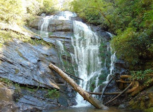
4.80.5 miThe trail to Kings Creek begins behind the bulletin board in the Burrells Ford primitive campground parking lot. It is an easy .5 mile trail to the falls. The falls are only 70ft high but they are beautiful, there is an area to the side of the falls with some nice sitting rocks and the area under...Read more -
Mountain Rest, South Carolina
Hike to King Creek Falls
0.6 miVery nice dog-friendly and family-friendly adventure! The hike is not long at all and the end result is a beautiful 70 ft waterfall with a pooled area at the bottom! Old logs are around for sitting on and relaxing while enjoying your lunch or snacks...Read more -
Mountain Rest, South Carolina
Hike to Big Bend Falls
5.06.5 miThe hike to Big Bend Falls begins on the Chattooga River Trail at the Burrell's Ford Campground. To get here you take Burrell's Ford Road off of SC 107. There will be a good sized gravel parking area off to the left about 3 miles down Burrell's Ford Road. When you park the car you can walk down t...Read more -
Canton, North Carolina
Camp at Mt. Pisgah
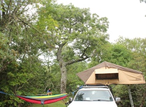
5.0The Mt. Pisgah campground is nestled right off of the Blue Ridge Parkway near Canton, NC. Since it is at an elevation of 4,980 feet the campground is a perfect destination to beat the heat and humidity that the region can be known for in the summer months. Reservations and information can be fo...Read more -
35.556724,-83.495827
Forney Creek Loop
4.519.04 mi / 3500 ft gainThis is an overnight loop hike that is built around one night in the back country. It can be done as an ambitious day hike. Be advised that permits are required by the NPS for all overnight stays in Great Smoky Mountain National Park. The hike begins at the Clingman's Dome parking lot at the For...Read more

