Cherokee, North Carolina
Looking for the best hiking in Cherokee? We've got you covered with the top trails, trips, hiking, backpacking, camping and more around Cherokee. The detailed guides, photos, and reviews are all submitted by the Outbound community.
Top Hiking Spots in and near Cherokee
-
Glenville, North Carolina
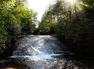
Hike to Frolictown Falls
1.5 mi / 350 ft gainThis is an awesome hike to do if you're short on time or have hours to kill. Because it is so easy to access, it doesn't take very long to get down to it and can be accessed by two separate trails. Both trails are well maintained, however, while there are some blazes, it is not heavily marked. Th...Read more -
Glenville, North Carolina
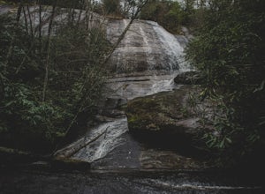
Hike to Granny Burrell Falls
2.4 mi / 440 ft gainPanthertown Valley has a unique system of trails, with each trail having a specific number. Some of the trails listed at the information hut in the parking lot are accessed by taking one or two other trails to get to the start of the trail you are seeking. That is the case when hiking to Granny B...Read more -
Glenville, North Carolina
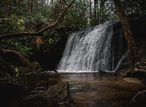
Hike to Wilderness Falls
1.4 mi / 300 ft gainWilderness Falls offers a beautiful hike with a simple yet captivating falls. All of the maintained trails in Pantertown Valley are marked by a number system (there is an information hut in the parking lot with information about other local trails, distance of different trails, and emergency cont...Read more -
Glenville, North Carolina
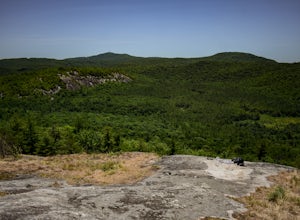
Hike to Blackrock Overlook
3 mi / 700 ft gainThis is probably one of my favorite hikes I've done in Panthertown Valley. Its also one of the easier views to access. You start from the Salt Rock Gap Parking lot, taking the Blackrock Trail (447) up Blackrock Mountain. This trail is located about 100 yards to the left if you are standing lookin...Read more -
Canton, North Carolina
Sam Knob and Flat Laurel Creek Loop
4.93.84 mi / 807 ft gainThis is one of my favorite quick "getaway" loops in the Pisgah Ranger District. Turn onto Black Balsam Knob Road (Mile Marker 420 on the Blue Ridge Parkway) go until you reach a dead end and park at the parking lot. You'll see the Sam Knob trail to the right of the public bathrooms. From there, i...Read more -
Canton, North Carolina
Tennent Mountain
5.03 mi / 285 ft gainPark at the Lot at the end of Black Balsam road, and start your morning in the dark, down the old dirt road at the end of the lot. Take this road until you get to Ivestor Gap and make a right onto the Art Loeb, try and time it so the sun is just about to rise here. Hike or trail run The Art Loeb ...Read more -
Franklin, North Carolina
Siler Bald from Wayah Gap
5.03.66 mi / 1060 ft gainThe Appalachian Trail does not need a lot of hype beyond its existing legendary status. However, there are certain parts of it that do stand out as being a little extra special. Siler Bald is one of those spots. A large clearing starting from Snowbird Gap and going all the way up to Siler Bald...Read more -
Haywood County, North Carolina
Black Balsam Knob via Art Loeb Trail
5.01.56 mi / 305 ft gainThe parking area for Black Balsam Knob is at mile marker 420.2 on the Blue Ridge Parkway. It's free to hike here. Take the Art Loeb Trail a half mile until you reach the knob. Along the way you will be walking almost entirely on the bald which is a very pleasant experience. You feel like you're ...Read more -
Townsend, Tennessee
Backpack to Spence Field
13.8 mi / 3100 ft gainStart your hike at Anthony Creek Trailhead (elevation 1,800 ft), in the Cade’s Cove area. The trailhead is located at the far end of the day-use picnic area near Cade’s Cove campground. There are a few parking spots right at the trailhead, but note that the picnic area closes at dusk (a gate clos...Read more -
35.604955,-83.770373
Hike to Rocky Top
5.012.8 mi / 3500 ft gainRocky Top is known to be the spot that inspired the famous fight song of the University of Tennessee, which is also an official song for the state of Tennessee. The trailhead for this hike begins in the Cade’s Cove picnic area parking lot towards the back side. There are a few parking spots ri...Read more -
Clyde, North Carolina
Hike to Little Fall Branch falls
0.3 mi / 300 ft gainThe trailhead to this hike is easy to find but the gps is hard to match so it might try to take you through the middle of the trees but its easy to follow the road. The best way to get here is to go off of I-40 at the Harmon Den exit and then go up the road towards Max Patch. To get to the trailh...Read more -
Fontana Dam, North Carolina
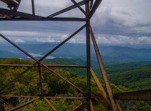
Shuckstack Fire Tower
5.08.84 mi / 2605 ft gainYour Shuckstack adventure starts at the Fontana Dam outside of Bryson City, NC. As the highest dam East of the Rocky Mountains, it's a sight on its own. This will be your last chance to fill up water bottles and use the restroom so take advantage. You can leave on foot from the dam and continue ...Read more -
Franklin, North Carolina
Nantahala National Forest via the Appalachian Trail
4.027.11 mi / 5420 ft gainWinding Stair Gap on Highway 64 is the starting point for this spectacular backpacking trip through the Nantahala National Forest. It's right outside the hiker friendly town of Franklin, NC, so the town is your last chance for a hot meal and any last minute supplies. There is a parking lot at the...Read more -
Balsam Grove, North Carolina
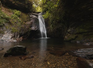
Hike to Courthouse Falls
4.70.07 mi / 40 ft gainFirst off, I want to say although the road is gravel it is accessible for 2WD cars you do not need a 4WD car to access this hike. The trail begins just over the bridge that crosses Panther Branch Creek. Just over the bridge there is a pullout where you can park that should fit at least 3 cars. Th...Read more -
Lake Toxaway, North Carolina
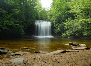
Hike to Schoolhouse Falls and Little Green
5.03 miTrail signs in Panthertown Valley are limited. Be sure to bring a map! Starting at the Cold Mountain parking lot, hike to Schoolhouse Falls. This is a nice waterfall with a pool at the bottom. In the summer, you are bound to run into other fellow hikers here. From Schoolhouse Falls, you have the...Read more -
Lake Toxaway, North Carolina
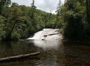
Hike to Warden, Jawbone, and Riding Ford Falls
4.5 miWarden, Jawbone, and Riding Ford Falls are three waterfalls located along the headwaters of the Tuckasegee River in Panthertown Valley. Not far from the Cold Mountain trailhead, these falls are quite popular in the summer. On a weekend, you will often find people playing in the pools below the fa...Read more

